
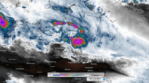
Some of the heaviest rain ever observed in Australia has hit Queensland’s North Tropical Coast during the last few days, resulting in widespread major flooding and landslips. Rainfall has been relentless over northeast Qld ever since Tropical Cyclone Jasper made landfall near Wajul Wajul on Wednesday, December 13. This 5-day spell of wet weather was […]
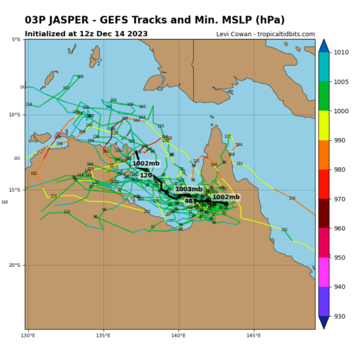
The remnants of Tropical Cyclone Jasper could hang around northern Australia into next week, with some models suggesting it could re-intensify near the Top End. So, what can we expect to see from Ex-Tropical Cyclone Jasper next week? Tropical cyclone Jasper hit the north Queensland tropical coast on Wednesday evening as a category two system […]
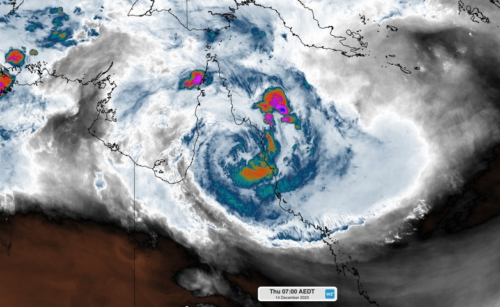
Major flooding is occurring along Queensland’s North Tropical Coast and Tablelands this morning after Tropical Cyclone Jasper dropped more than half a metre of rain in the last 24 hours. Jasper made landfall as a category two tropical cyclone late on Wednesday, crossing the coast between Port Douglas and Cooktown in the vicinity of Wajul […]
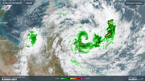
Wind and rain are increasing along Queensland’s North Tropical Coast as Tropical Cyclone Jasper moves closer to land, ahead of making landfall later today. The animation below shows the sun rising over Jasper on Wednesday morning. At 9am AEST, it was a category one system located 130 km north northeast of Cairns. Some of the […]
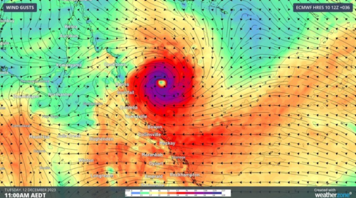
Queensland’s North Tropical Coast is preparing for severe weather later this week, with Tropical Cyclone Jasper expected to make landfall near or north of Cairns on Wednesday. Jasper got a lot of attention late last week when it became the earliest category 4 tropical cyclone in Australian waters since 2005. However, the system has weakened […]
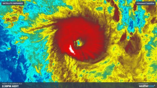
Tropical Cyclone Jasper continues to gain strength over the Coral Sea and could soon be bearing down on the Qld’s North Tropical Coast. Jasper became a category 4 tropical cyclone on Friday morning, becoming the earliest category four system in Australian waters since 2005. At 10am AEST on Friday, Jasper was located 1,200 km east-northeast […]

A strong cold front will sweep across southeastern Australia in the next 48 hours, bringing a dangerous mix of damaging winds, severe thunderstorms and catastrophic fire danger ahead of a welcome cool change. The satellite image below shows a trough extending from WA down to SA, generating a massive line of thunderstorms stretching 700km across […]
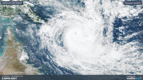
Severe Tropical Cyclone Jasper could become the earliest category four tropical cyclone in Australia’s area of responsibility since 2005. Cyclone Jasper formed over the Solomon Sea late on Tuesday before moving towards the south and gaining strength. By Wednesday night, Jasper had intensified into a category 3 severe tropical cyclone and the system is expected […]
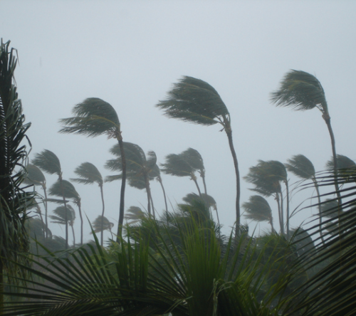
There are growing concerns that eastern Qld could be hit by a tropical cyclone next week, although it is still too early to know whether Tropical Cyclone Jasper will reach Australian shores, or where it will strike if it does. Jasper became a tropical cyclone over the Solomon Sea late on Tuesday afternoon. As […]

Australia’s tropical cyclone season is officially underway, but we may not see much activity for few months yet. The season runs from November to April, and for mining operators and businesses across northern Australia, 2026-27 is shaping up to be a season where the headline numbers and the real risk may not line up. On […]

A positive Indian Ocean Dipole is underway, but this one is unlikely to deliver the textbook dry spring and summer that businesses have come to expect from the pattern. The Bureau of Meteorology officially declared a positive IOD on Tuesday, October 27, which typically like El Niño can cause drier and warmer conditions over parts of […]

Waters off Indonesia have cooled in recent weeks, an indication that a positive Indian Ocean Dipole (IOD) event could be developing. It’s an important climate driver for Australia, and it could shape rainfall and temperatures heading into summer, with flow-on effects for farmers, energy and other industries. What is the Indian Ocean Dipole? The IOD […]

Leonora, WA, had its wettest September day on record earlier this month. Three weeks later, more than 1.3 million lightning pulses were detected within 800 km of the town in 48 hours. Why is a stalled trough delivering storms to mining country, and what it could mean for operations? The DTN Total Lightning Network detected […]
