
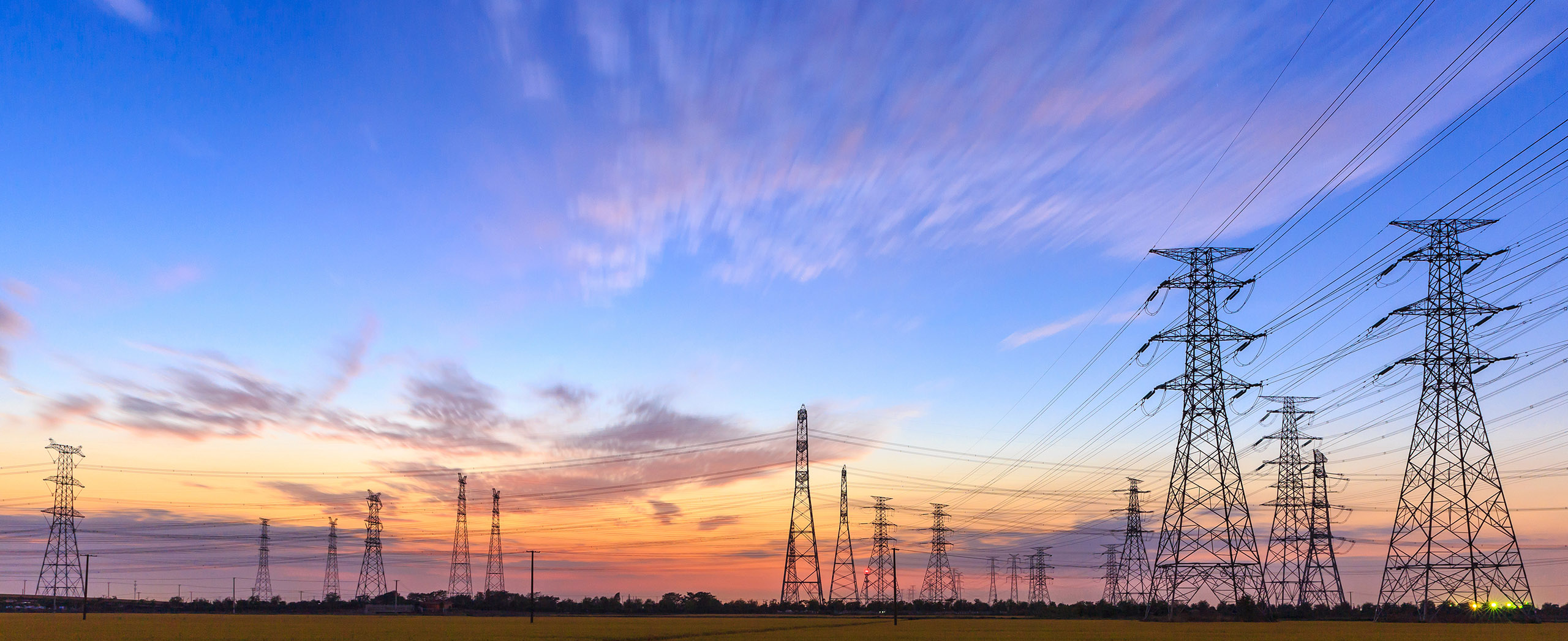
DTN APAC, offers precise weather intelligence and alerting to protect your utilities network when severe weather, floods and fires threaten.
Over 80% of Australian transmission and distribution networks already rely on our proven nowcasting and forecasting out to 15 days. You can rest assured yours is protected by market-leading analysis. With this foresight you can gain lead time to prepare for possible outages, reduce risk and protect your people and profits.
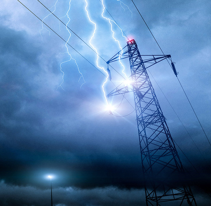
You will never be left in the dark when conditions suddenly worsen. We deliver reliable, up-to-the-minute weather forecasts and analytical tools that give you the power to enhance your operational management and response to weather risk. Our Total Lightning Network is a globally proven solution that accurately identifies and alerts you to lightning strikes within your defined thresholds, supporting the safety of your team.
Your customisable interface has GIS mapping, showing multiple weather layers over your utilities network and offering full situational awareness. You can quickly recognise any threat to your assets in real-time. 24-hour asset monitoring allows you to track lightning, bushfires and other severe weather systems that approach your service territory.
Advanced and actionable analytics allow you to act decisively and improve your planning and outage response strategy.
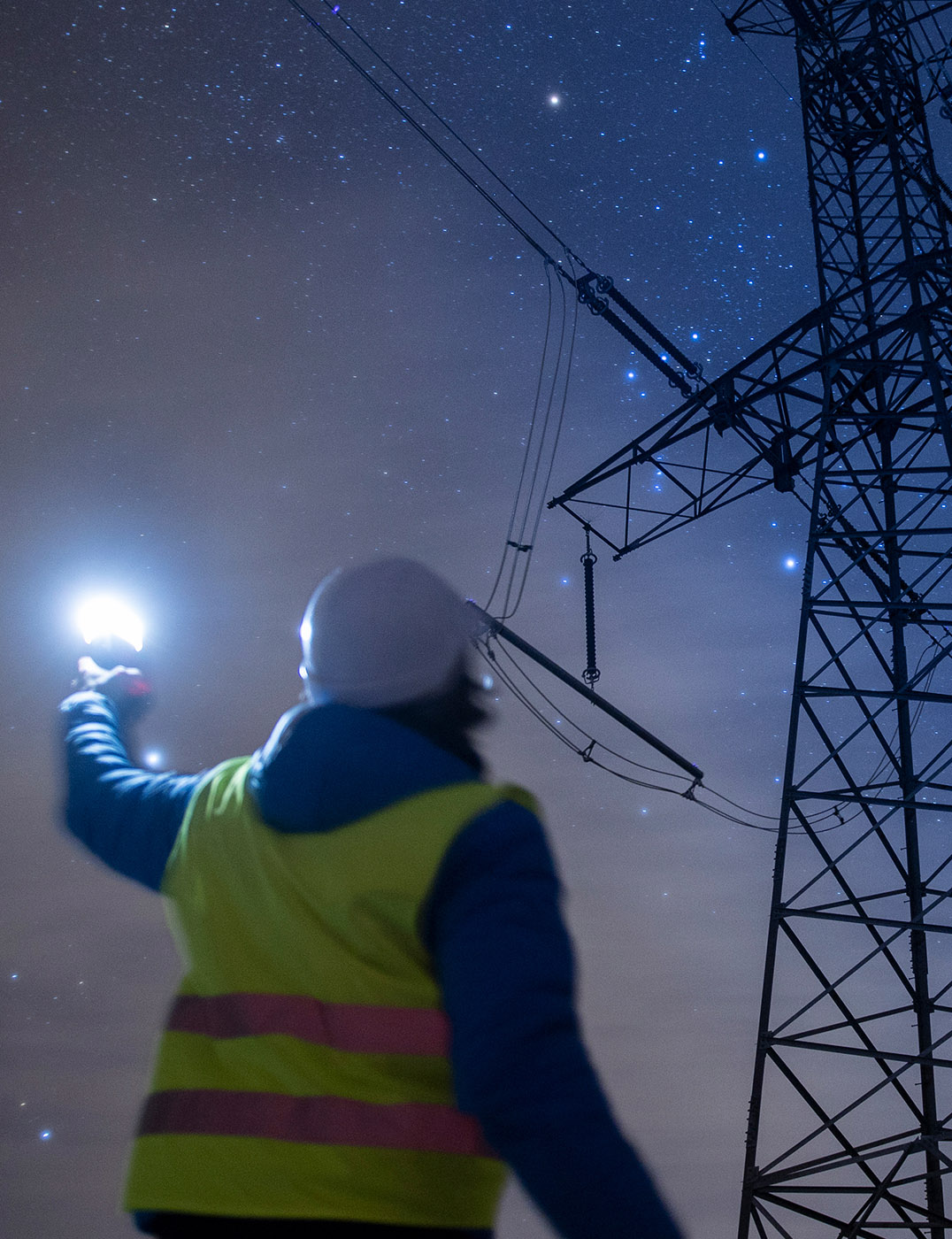

Over 30 customisable and easily visualised parameters are offered on your Energyzone interface. We tailor directly to your operational requirements and offer 24 hour meteorological and IT support for any complex conditions that arise. Maximised efficiency ensures your operation adheres to regulatory statutes.
We are there for you: rain, hail or shine.
Armed with OpticastTM, the most precise solution for nowcasting and forecasting data at down to 5-min granularity out to 15 days, you can mitigate operational and safety risk.
Advanced and actionable analytics, using a sophisticated, machine learning approach, provide quantitative predictions that support a more prepared response.
Powerful forecast modules are coupled with briefings from our team of expert energy meteorologists, allowing you to understand the risk in the forecasts.
We thrive on challenge, next-generation science and customised service and are dedicated to helping you stay ahead of the game.
Opticast is DTN APAC’s cloud-based forecasting solution that can deliver precise, hyper-local weather data to your business.
Independently verified to significantly outperform other industry models, Opticast gives you a strategic advantage when facing weather impacts. Opticast intelligently adapts to the local conditions of your site area ensuring the most accurate data for your network.
With our advanced alerting mechanism for lightning – the Total Lightning Network – and severe weather events including flooding and bushfires, you will have the best lead time possible to assess and respond. Our team provide analytical support, 24/7, and pave the way for quick and effective critical decision making.
We work to bring you full situational awareness so you can mitigate risk and maximise profits.

Waters off Indonesia have cooled in recent weeks, an indication that a positive Indian Ocean Dipole (IOD) event could be developing. It’s an important climate driver for Australia, and it could shape rainfall and temperatures heading into summer, with flow-on effects for farmers, energy and other industries. What is the Indian Ocean Dipole? The IOD […]

Leonora, WA, had its wettest September day on record earlier this month. Three weeks later, more than 1.3 million lightning pulses were detected within 800 km of the town in 48 hours. Why is a stalled trough delivering storms to mining country, and what it could mean for operations? The DTN Total Lightning Network detected […]

A stubborn blocking high over southern Australia will make for a very quiet week for wind generation and the pattern behind it isn’t a one-off. It’s the seasonal signature of a super (very strong) El Niño combined with a positive Southern Annular Mode (SAM), and both the historical record and the current seasonal forecast suggest it’s likely to keep recurring through spring before a potential switch from November. The setup right […]

Australia’s Mining and Resources sectors are bracing for a wet season shaped by one of the most rapidly developing El Niño events on record. Looking back at how the strongest El Niño events in Australian history have played out, it becomes apparent that mining operations in Australia should be planning for a later monsoon […]
