Prosper in a dynamic world
Search

Wind generation Forecast

Our precision wind generation forecasts and alerting keep you one step ahead

Do you want a solution that makes scheduling maintenance on your wind farm easier?

DTN APAC delivers industry-leading weather and power generation forecasting and real-time alerting to inform your critical decision-making. Together we can keep your staff and assets safe, and efficiency high.

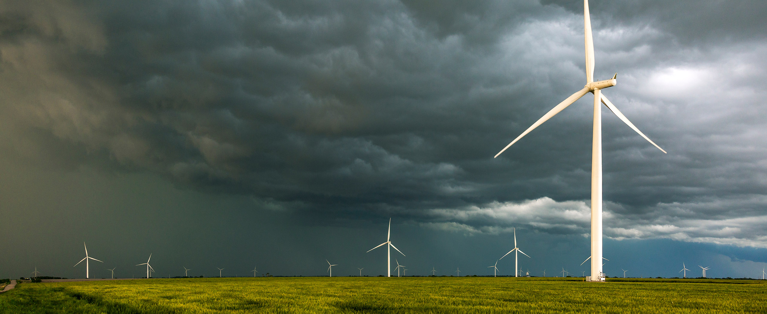
With lightning strikes, severe weather, flood and fire posing risk to wind farms across Australia, we have tailored solutions that can significantly improve your oversight and response.

Total Lightning Network comprises of regional and global sensors to detect intra-cloud (IC) and cloud-to-ground lightning (CG) strikes within your proximity thresholds. It provides unparalled detection accuracy (<200m) and real-time lightning alerts to any device across your operations team.

Your customizable Energyzone interface and Weatherguard app will provide access to the Total Lightning Network as well as centralized data from state and territory fire agencies, the Bureau of Meteorology, and over 30 national and international private and state organisations. This enables full situational awareness of weather conditions and fire risk, as well as severe weather alerting via text, email and phone call, so your staff can respond effectively when required.

The powerful generation forecasting solution

DTN APAC’s Opticast Renewable Wind (RW) takes on-site observations and SCADA data, blending them with multiple NWP models to generate consensus forecast. Utilising an Artificial Neural Network (ANN) and statistical error estimation techniques, it vastly improves estimates of power generation and delivers precise hub height forecasting.

Meticulous forecasting to reduce your farm’s exposure to penalties.

Real-Time Lightning Alerts

Our Total Lightning Network is a globally proven solution to accurately alert your team to lightning strikes within defined thresholds, so they can respond quickly.

Proven Forecast Accuracy

Opticast™ is our next generation nowcasting and forecasting solution trusted by the Australian Energy Market Operator, and businesses Australia wide. Precise weather intelligence to support safe and effective operations.

Power Generation Forecasting

Gain power generation forecasts that utilise an advanced, multi-model approach. Based on your exact assets and location, it delivers a more precise estimation of power generation and hub height meteorology.

Customise your Energyzone

Learn more about the weather solutions we offer, delivering precise intelligence and maximising your energy output.

7-Day Tropical Cyclone Service

We don’t do status quo

We thrive on challenge, next-generation science and customized service and are dedicated to helping you stay ahead of the curve.

Opticast™ RW provides 5-minute forecasting up to 72 hours and hourly forecasting out to 10 days forming a framework for your maintenance and operational planning. Customisable alerting covers lightning, severe weather, blade icing, high winds and humidity: all set within your specified thresholds.

Stormtracker, DTN APAC’s fully visualised Geographic Information System (GIS), plots ‘live’ lightning strikes, aged to 60 mins and mapped over your farm assets. This provides enhanced spatial awareness and understanding of the potential threat of storm activity to your operations and valuable assets.

Our proactive alerting systems can be configured to your requirements, aligning with local site needs, procedures and legislation. Avoid any unnecessary shutdowns that can occur due to imprecise forecasting of lightning and severe weather.

Your weather intelligence needs are as individual as your renewables business, and we collaborate with you to bring ease to your every day.  Together we can improve safety and achieve optimal efficiency.

We are here for you: rain, hail or shine.

The brightest minds to help light the way.

Latest news

Satisfy your weather obsession with these news headlines from around the nation, and the world.

Adelaide’s driest start to the year since the 1980s

Halfway through autumn, Adelaide continues to endure an early-year dry spell the likes of which it has not seen since the famously barren decade of the 1980s. Just 14.4mm of rain has been recorded at the city’s main weather station from January 1 to April 15, 2025. That makes it the South Australian capital’s 4th-driest […]

Tropical Cyclone Errol strengthening near Australia – here’s what to expect

Tropical Cyclone Errol, which formed on Tuesday night, is quickly gaining strength to the north of WA and could turn towards the Kimberley coast later this week. At 8am AWST on Wednesday, Errol was a category two tropical cyclone located roughly 515 km to the north northwest of Broome. The system is moving west and […]

Large swell to move into NSW ports and harbours on Good Friday

A powerful Tasman low will send damaging surf to NSW later this week, with waves expected to radiate into ports and harbours. A tropical disturbance (TD11F) currently being monitored by the Fiji Meteorological Service is located between New Caledonia and Vanuatu. This tropical low could briefly become Tropical Cyclone Tam as it tracks south towards […]

Tropical cyclone to form near WA

A tropical cyclone is likely to form off the north coast of WA in a matter of days, with signs that it could become a severe tropical cyclone next week. A tropical low is currently developing over the Timor Sea to the north of Darwin. The circulation centre of this developing low can be clearly […]