
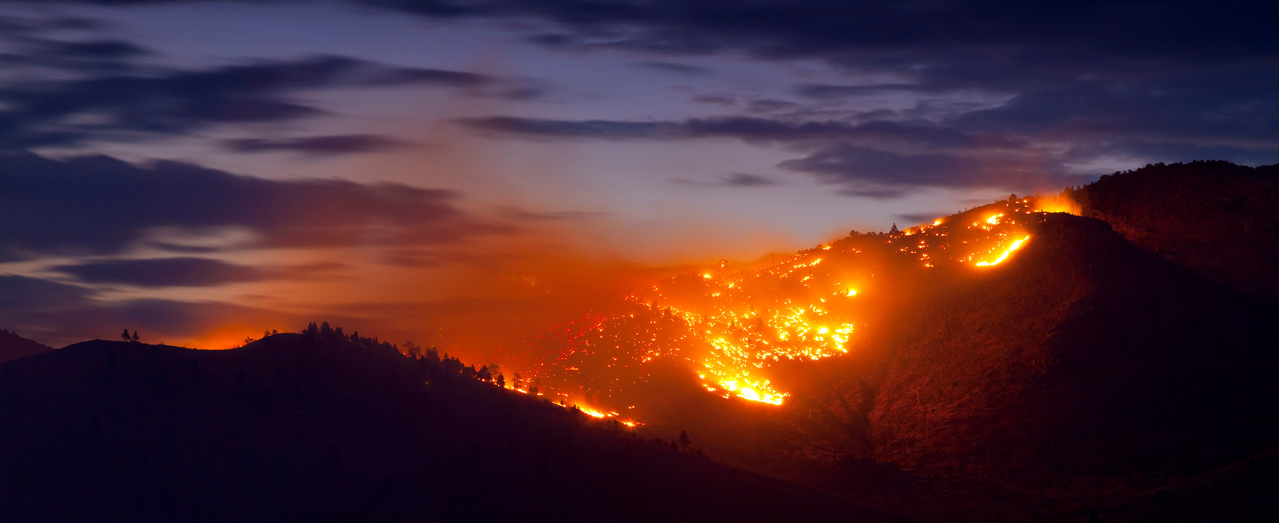
Working in often severe conditions in the high-risk fields of forestry and emergency, our consolidated weather services can ensure full situational awareness for you and your team.
DTN APAC serves the forestry and emergency sectors, delivering trusted weather data and severe weather alerting to maintain safety, protect your assets and underpin your planning.
DTN APAC’s trusted nowcasting and forecasting system, OpticastTM, is independently proven to outperform other industry models, allowing you to respond rapidly to changing conditions. Opticast can ingest data from your on-site weather observation equipment, ensuring your forecast is customised to your local microclimate. From nowcasting and 14 day forecasting to seasonal outlooks, you have powerful, hyper-local weather alerting and intelligence, giving you decisive confidence when it’s most needed.
With lightning a prominent cause of forest fires throughout Australia, DTN APAC’s Total Lightning Network offers real-time detection and unsurpassed accuracy of lightning strikes to <200m. Based on a vast sensor network, both intra-cloud and cloud-to-ground strikes are located, ensuring you are alerted when severe weather is building and threatening your teams, assets and infrastructure. When volatile conditions increase the ferocity of fire it’s imperative you have lead-time to enact safety plans, keeping your people out of harm’s way.
Your weather intelligence is accessible across all devices in your network via our Weatherguard App, and your customisable interface.
We are there for you when you need us the most – 24/7, 365 days a year.
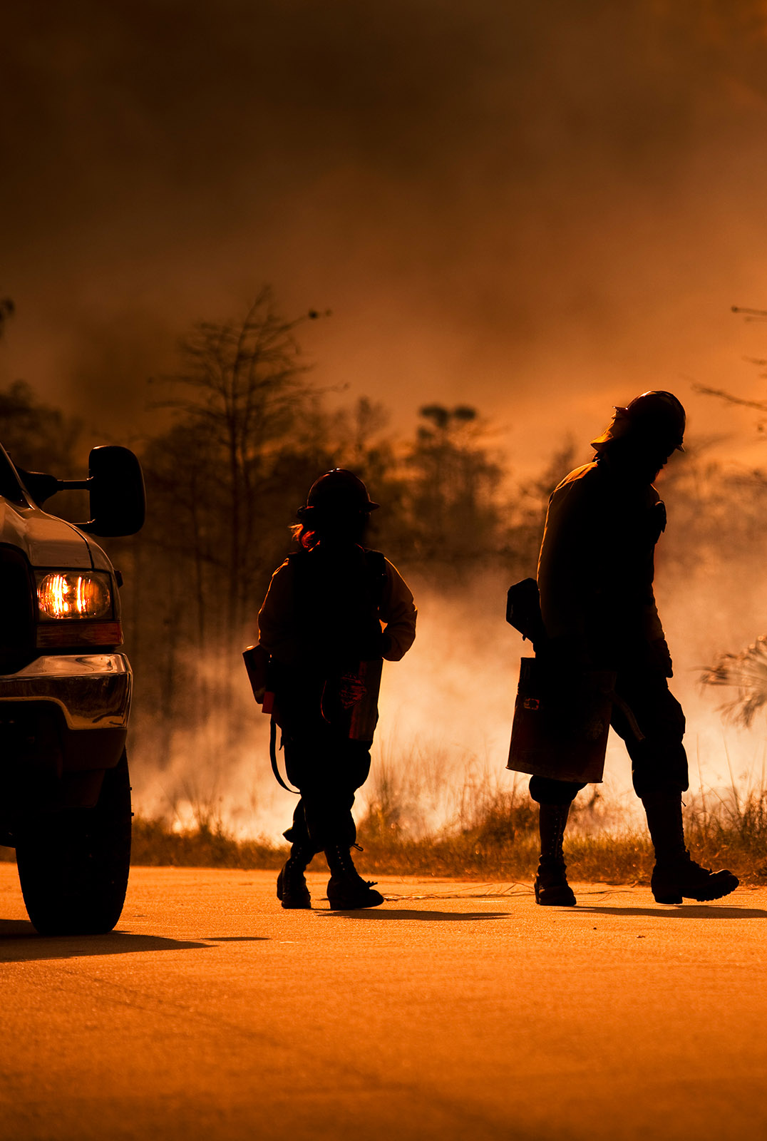

Your weather data is customisable and delivered via an easy-to-visualise interface. You will have access to comprehensive intelligence including:
• tools to enable bushfire spread prediction
• thunderstorm climatology to evaluate long-term lightning risk
• bushfire and flood alerting
• post-event reports
• severe weather nowcasting and forecasting
• 14 day outlooks
• fire and flood emergency advice and much more.
Set your alerts to your existing parameters and gain the lead-time needed to protect your people and assets, without risking costly and unnecessary operational shutdowns.
Choose the intelligence that is most relevant to your operations, to ensure you have easily visualised, full situational awareness when you need it the most.
All data is site-specific and available in real time, so you are aware of unfolding events, and able to formulate decisions quickly, based on a clear picture of the threat.

Reinforce your prevention, preparedness, response and recovery (PPRR) efforts with our tailored services.
Prevention: utilise our seasonal outlooks and daily forecasting to identify and implement prevention measures. Understand the climate risks. Calculate when to plant and harvest, and schedule clean-ups.
Preparedness: gain an understanding of bushfire risk in the days, weeks and months leading up to the season. Use DTN APAC’s seasonal outlooks and 14 day forecasting to plan training, equipment maintenance and back burning operations.
Response: we deliver fire danger forecasts and provide nowcasting and forecasting of severe weather events, including thunderstorm/lightning detection and alerting, to give you full situational awareness of the emergency events likely to impact your operations.
Recovery: assess the risk that weather poses on post-event recovery and rebuild processes. Utilise post-event reports to process insurance claims and perform detailed analysis on operational response.
We work to bring you full situational awareness so you can mitigate risk and maximise your productivity and planning.

Waters off Indonesia have cooled in recent weeks, an indication that a positive Indian Ocean Dipole (IOD) event could be developing. It’s an important climate driver for Australia, and it could shape rainfall and temperatures heading into summer, with flow-on effects for farmers, energy and other industries. What is the Indian Ocean Dipole? The IOD […]

Leonora, WA, had its wettest September day on record earlier this month. Three weeks later, more than 1.3 million lightning pulses were detected within 800 km of the town in 48 hours. Why is a stalled trough delivering storms to mining country, and what it could mean for operations? The DTN Total Lightning Network detected […]

A stubborn blocking high over southern Australia will make for a very quiet week for wind generation and the pattern behind it isn’t a one-off. It’s the seasonal signature of a super (very strong) El Niño combined with a positive Southern Annular Mode (SAM), and both the historical record and the current seasonal forecast suggest it’s likely to keep recurring through spring before a potential switch from November. The setup right […]

Australia’s Mining and Resources sectors are bracing for a wet season shaped by one of the most rapidly developing El Niño events on record. Looking back at how the strongest El Niño events in Australian history have played out, it becomes apparent that mining operations in Australia should be planning for a later monsoon […]
