
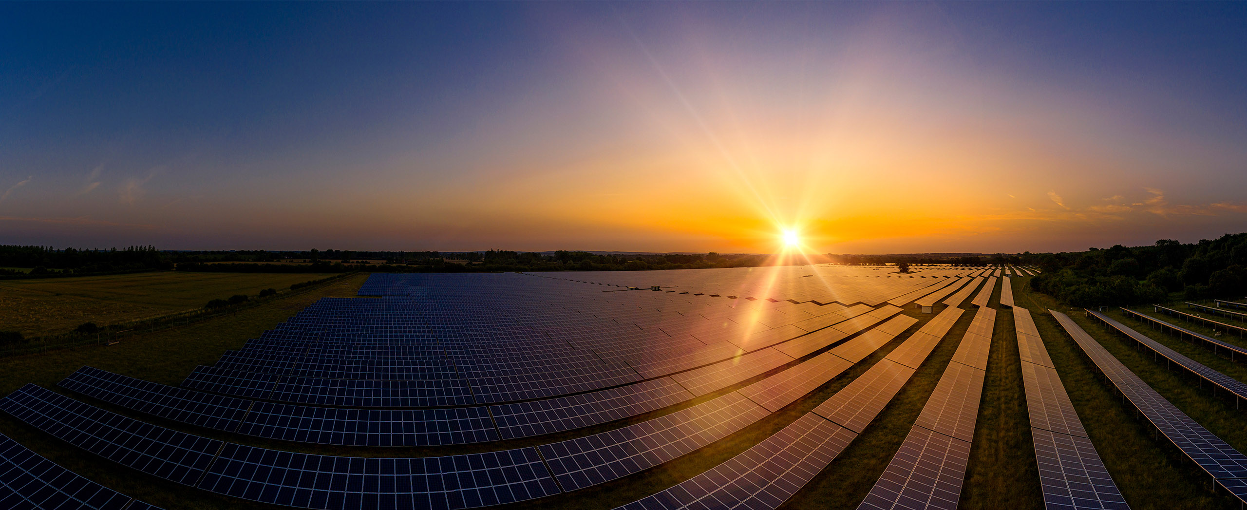
When your renewables energy operations are affected by weather extremes, we offer solutions to keep your productivity and profits high.
DTN APAC, supplies precise weather intelligence to over 75% of the National Energy Market (NEM) participants and is the trusted provider for Australia’s Market Operator.
We offer weather data and analytics to support all aspects of your renewables business, with a wide range of specialised services covering energy generation and weather forecasting, to site-specific severe weather alerting and historical reporting.
OpticastTM
DTN APAC operates Opticast, an ultra-local forecasting system, independently proven to be the best performing of its type in Australia. Providing an unprecedented level of accuracy and precision, Opticast rapidly updates every 10 minutes, intelligently adapting to local observations, and corrects forecasts based on historical evidence. Wherever you are based, we can provide you with the most accurate nowcasting and forecasting data out to 14 days so that you can mitigate operational and safety risks, and plan to make the most of severe weather windows.
Solar Forecasting and Generation
DTN APAC partners with Solcast, a DNV company – the world leader in real-time actuals and rapid-update solar forecasts.
Utilising Solcast’s satellite fleet, sky-imagers and the SCADA data collected from your solar farm, you will acquire not only forecasting capability, but a precise picture of your actual yield and PR. Specifically built to ensure you meet the requirements of the AEMO and reduce your exposure to costly penalties.
Wind
Utilising Opticast’s data, we provide wind power generation, operational and severe weather forecasting to improve your planning and protect your valuable staff and assets. Utilise generation forecasts for individual wind farms, state level and the NEM at daily and hourly resolution.
DTN APAC’s Total Lightning Network ensures your wind farm is protected from severe storms by an alerting system that can be configured to your exact requirements, aligning with local site needs, procedures and legislation.
Hydropower
Using Opticast’s nowcasting and forecasting capabilities, you will have long-term outlook covering rainfall and extreme heat events out to 12 months. This can significantly improve your planning as you integrate the data with site-specific hydrological parameters.
With renewables making up more of Australia’s energy mix every year, we want to support your business to make informed critical decisions and improve your overall generation and safety.


Your weather data is customizable, site-specific and delivered via Energyzone, our easy to visualize dashboard.
You will have access to over 30 parameters that can guide your generation, planning and risk management. Whatever weather intelligence you need to keep your enterprise performing at its peak, we can provide, along with IT analytical support.
We are there for you:rain, hail or shine.
Opticast™ provides high resolution, rapid-update now-casting and forecasting data helping you to financially plan and guide your operations effectively day to day.
Our Total Lightning Network provides precise local alerting in severe weather – delivered to any device across your network – buying time to keep you, your team and assets safe.
Speak to an accredited meteorologist to gain in-depth understanding of the impact and risk of forecasting, specific to your business and planning.
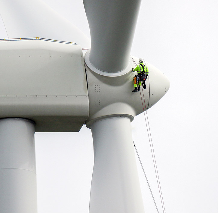
We thrive on challenge, next-generation science and customised service and are dedicated to helping you remain productive despite weather challenges.
With the weather deeply affecting your operations, from risk assessment, generation, safety and maintenance scheduling, we offer you intuitive solutions to mitigate risk and keep you operating at peak profitability and productivity.
We work to bring you full situational awareness so you can improve planning and maximise your profits.

Waters off Indonesia have cooled in recent weeks, an indication that a positive Indian Ocean Dipole (IOD) event could be developing. It’s an important climate driver for Australia, and it could shape rainfall and temperatures heading into summer, with flow-on effects for farmers, energy and other industries. What is the Indian Ocean Dipole? The IOD […]

Leonora, WA, had its wettest September day on record earlier this month. Three weeks later, more than 1.3 million lightning pulses were detected within 800 km of the town in 48 hours. Why is a stalled trough delivering storms to mining country, and what it could mean for operations? The DTN Total Lightning Network detected […]

A stubborn blocking high over southern Australia will make for a very quiet week for wind generation and the pattern behind it isn’t a one-off. It’s the seasonal signature of a super (very strong) El Niño combined with a positive Southern Annular Mode (SAM), and both the historical record and the current seasonal forecast suggest it’s likely to keep recurring through spring before a potential switch from November. The setup right […]

Australia’s Mining and Resources sectors are bracing for a wet season shaped by one of the most rapidly developing El Niño events on record. Looking back at how the strongest El Niño events in Australian history have played out, it becomes apparent that mining operations in Australia should be planning for a later monsoon […]
