
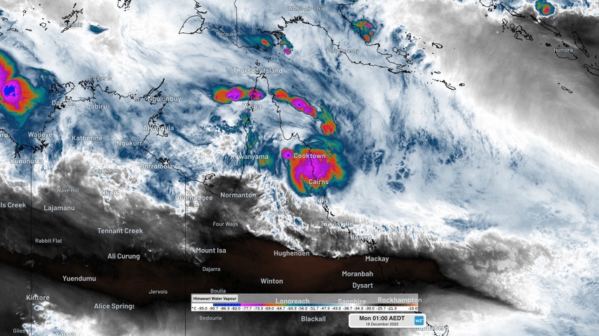
Some of the heaviest rain ever observed in Australia has hit Queensland’s North Tropical Coast during the last few days, resulting in widespread major flooding and landslips.
Rainfall has been relentless over northeast Qld ever since Tropical Cyclone Jasper made landfall near Wajul Wajul on Wednesday, December 13. This 5-day spell of wet weather was exacerbated over the weekend by a slow-moving coastal trough being fed by a persistent stream of tropical moisture.
Provisional data collected by Bureau of Meteorology rain gauges shows that two locations in Qld may have just received the 3rd and 4th highest daily rainfall on record in Australia. There were also four locations that beat the previous national daily record for December.
During the 24 hours to 9am on Monday, December 18, Bairds registered 870 mm and nearby Diwan recorded 829 mm. If these observations are valid, they are the 3rd and 4th heaviest daily rainfall totals on record in Australia. The only wetter days were 878.3 mm at Finch Hatton on February 18, 1958 and 907 mm at Crohamhurst on February 3, 1893.
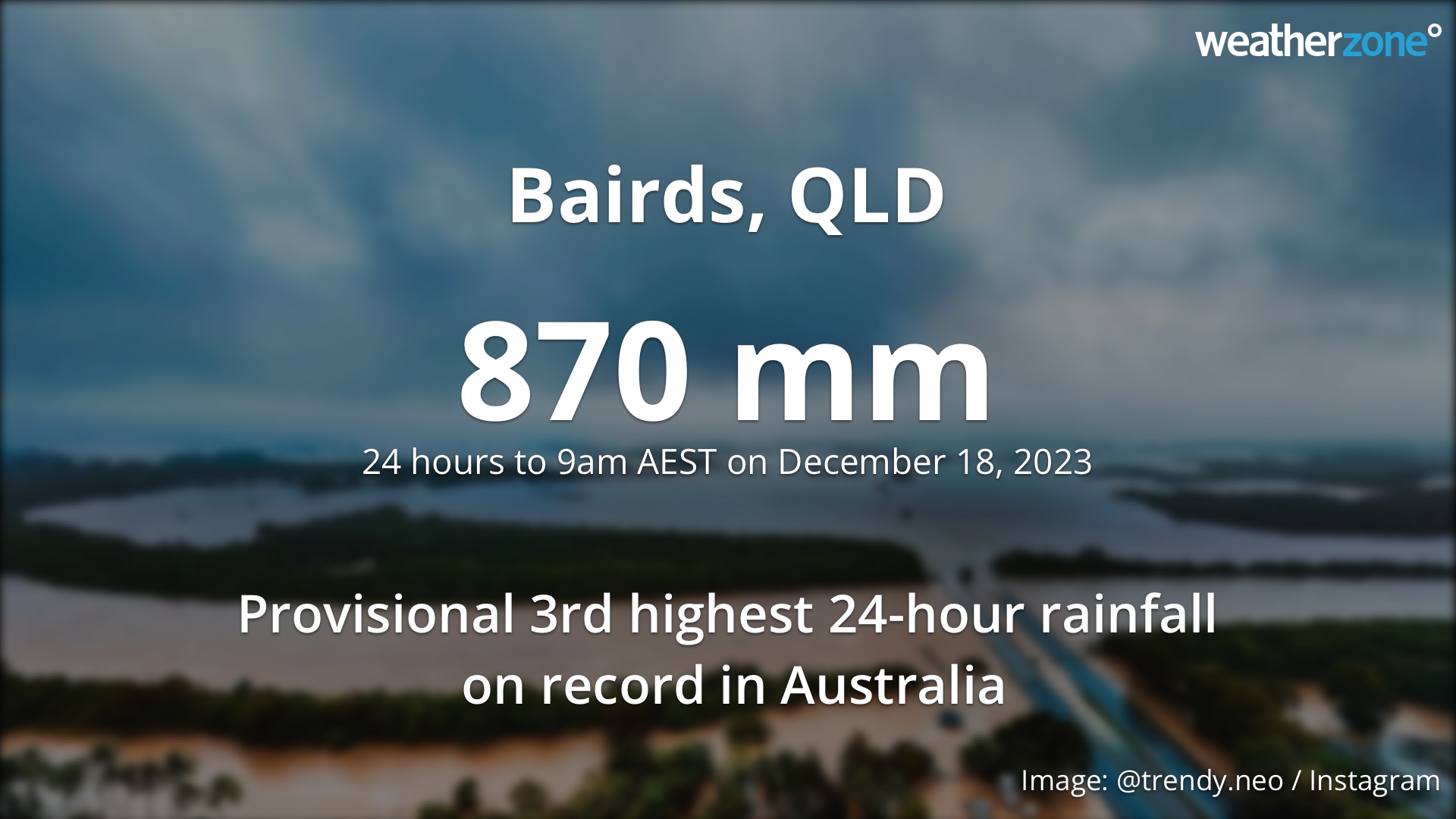
Prior to this event, the heaviest daily rainfall even observed in Australia during December was 678 mm. This mark was eclipsed by five locations during the 24 hours to 9am AEST on Monday, December 18:
- 870mm at Bairds
- 829 mm at Diwan
- 714 mm at Mossman South *
- 701 mm at Yandill
- 700 mm at Whyanbeel Valley
*Mossman South did not record rainfall during the previous 24 hours, so this may be a 48-hour accumulated total
As of 9am Monday, a few places had seen more than two metres of rain over the last five days (9am on December 13 to 9am December 18). This included 2166 mm at Black Mountain, 2118 mm at Bairds and 2025mm at Myola. To put this rain into perspective, it exceeds the annual averages of Cairns (2000 mm) and Darwin (1721 mm).
Within these colossal multi-day totals were some shorter periods of very intense rainfall that caused rapid river level rises, flooding and landslips. At least two locations appear to have broken Qld’s 12-hour rainfall record, with Black Mountain receiving 672 mm and Myola registering 665 mm from Saturday evening into Sunday. These were both above the state’s previous 12-hour record of 617 mm from Paluma in January 1972. They are also higher than the annual averages of Melbourne (648 mm) and Adelaide (527 mm).
This vast amount of rainfall has been caused by the remnants of Ex-Tropical Cyclone Jasper lingering over western parts of the Cape York Peninsula. Over the weekend, monsoonal winds from the Northern Hemisphere wrapped around the northern and eastern sides of Jasper, delivering a concentrated surge of tropical moisture and convection to Far North Queensland.
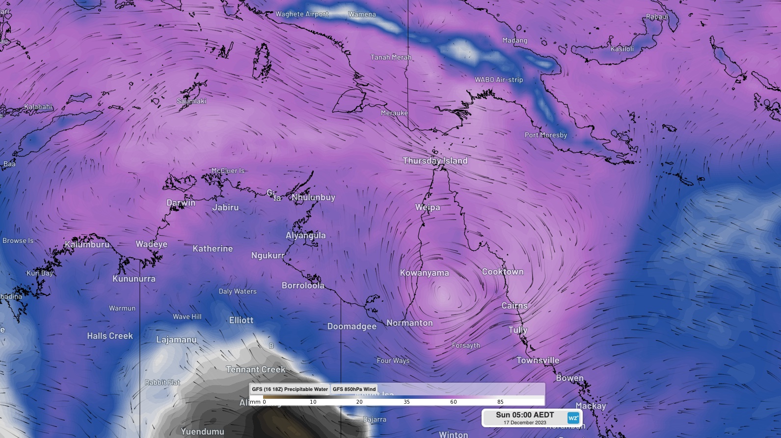
Image: Modelled precipitable water and 850 hPa winds on Sunday morning, showing moisture-laden winds converging on Qld’s North Tropical Coast.
The data mentioned in this story is provisional and will need to be quality controlled by the Bureau of Meteorology.
For more information on our tropical cyclone forecasts, please contact us at apac.sales@dtn.com.




