

Prosper in a dynamic world
Search

From floods to fires this summer

Large areas of inland Australia are being warned of above-average fire activity early next year as prolific vegetation growth caused by this year’s flooding rain starts to dry out towards the end of summer. The Australian Fire and Emergency...

Soaking rain and severe storms in QLD this week

Rain and thunderstorms will soak a large area of northern and eastern QLD this week, with potential for heavy falls, severe storms and flooding. A near-stationary low pressure trough and one or two low pressure systems will produce a...

How does a 15-degree day compare in spring vs winter?

In Australia, a 15-degree day can be a little chilly, but have you ever wondered why it feels colder in winter compared to the same temperature in spring? The simple answer comes down how long the day is. A...

Is El Nino on the horizon?

Some computer models suggest that El Niño could return next year, bringing an abrupt shift in one of our planet’s major climate drives following three consecutive years of La Niña. The graph below shows the most recent computer-based El...

Why is Sydney warmer after a cold front?

A cold front swept through Sydney in the early hours of Sunday morning, but the temperature is four degrees warmer than on Saturday. So why is it warmer after the front? The cold front did indeed bring in colder...

Build-up reaching its crescendo in the tropics

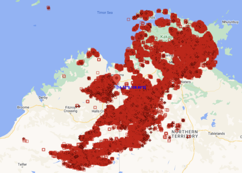
  Severe storms are flaring up in Kimberley and Top End as the build-up to the monsoon ramps up. The build-up season is an unofficial season that generally runs between September and December in northern Australia. It is characterised...

Strong polar vortex could influence Australia’s weather this summer

  Over the past few months, the stratosphere around Antarctica has been cooling, and that cooling is now starting to influence our weather in the lower atmosphere. What is the stratosphere?  All the weather we experience on the surface...

One of Earth’s warmest Octobers on record, despite La Nina

Unusually cool temperatures in Australia and the tropical Pacific Ocean weren’t enough to stop last month from being one of our planet’s warmest Octobers on record, according to new data released by Berkely Earth. The map below shows the...

Rain returning to the Pilbara

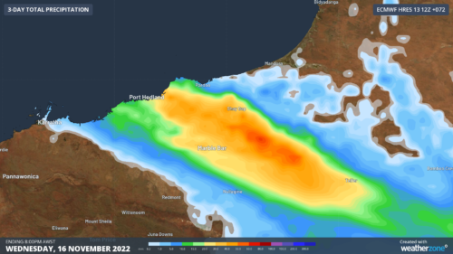
  Rain and a few storms are on their way to the Pilbara as the official start to the wet season looms for some. A northwest cloudband is starting to develop over the Pilbara region as moisture is drawn...

Latest news

Satisfy your weather obsession with these news headlines from around the nation, and the world.

Australia’s 2026-27 Tropical Cyclone Season: Late Start, Real Risk

Australia’s tropical cyclone season is officially underway, but we may not see much activity for few months yet.  The season runs from November to April, and for mining operators and businesses across northern Australia, 2026-27 is shaping up to be a season where the headline numbers and the real risk may not line up.  On […]

Positive IOD declared: Not a typical dry signal for Australia

A positive Indian Ocean Dipole is underway, but this one is unlikely to deliver the textbook dry spring and summer that businesses have come to expect from the pattern.  The Bureau of Meteorology officially declared a positive IOD on Tuesday, October 27, which typically like El Niño can cause drier and warmer conditions over parts of […]

Signs of a positive Indian Ocean Dipole, but it may not follow the textbook

Waters off Indonesia have cooled in recent weeks, an indication that a positive Indian Ocean Dipole (IOD) event could be developing. It’s an important climate driver for Australia, and it could shape rainfall and temperatures heading into summer, with flow-on effects for farmers, energy and other industries.  What is the Indian Ocean Dipole?  The IOD […]

1.3 million lightning strikes and a record September downpour: the storms testing WA’s Goldfields

Leonora, WA, had its wettest September day on record earlier this month. Three weeks later, more than 1.3 million lightning pulses were detected within 800 km of the town in 48 hours. Why is a stalled trough delivering storms to mining country, and what it could mean for operations?  The DTN Total Lightning Network detected […]
