Prosper in a dynamic world
Search

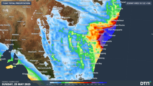
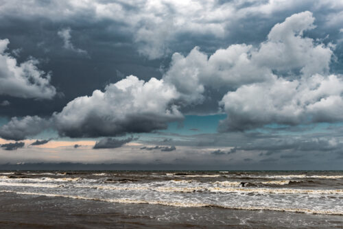
Rain, waves and gales smashing eastern NSW

Intense rain, large waves and powerful winds are lashing eastern NSW as a deep low pressure trough lingers near the coast, with a dynamic week ahead. The satellite imagery below shows the stream of moisture moving over eastern NSW on Monday – with wild and woolly conditions whipped up out at sea. Image: water vapour […]

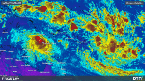
Tropical lows, heavy rainfall and earthquakes impacting Indonesia and the South Pacific

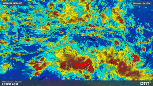
Tropical lows, monsoonal winds, heavy rainfall and earthquakes are affecting areas around Australia, bringing weather much more typical to the wet season. Tropical Lows 33U and 34U Tropical lows and cyclones can form at any time of year but become much less frequent over the Australian region during the Southern Hemisphere winter. This is due […]

Northern Australia’s 2024-25 wet season wrap up

Northern Australia’s 2024-25 wet season featured the busiest cyclone season in 19 years, latest monsoon onset on record and intense thunderstorm outbreaks. The northern Australia (north of 26°S) average wet season rainfall in 2024-25 was 21% above the 1961-1990 average. As seen in the rainfall deciles map below, this above average rainfall was driven by […]

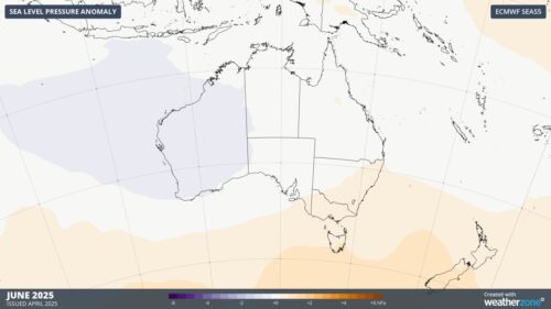
Positive SAM and warm oceans dominate Australia’s winter outlook

The Pacific and Indian Ocean climate drivers remain in a neutral phase, with weather around Australia continuing to be dominated by more local effects. Pacific Ocean climate driver The El Niño Southern Oscillation (ENSO) has returned to a truer neutral phase, after trending towards a La Niña-like phase during summer. Sea Surface Temperatures (SST) across […]

Long weekend rain and storms to impact Victoria and NSW

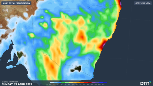
An outbreak of heavy rain and severe thunderstorms will impact Victoria and NSW over the coming long weekend. As seen in the synoptic image below, this outbreak of storms and wet weather will be caused by a broad low pressure trough and cold front. Image: Synoptic image for Friday, 25 April. As the weekend goes […]

Tropical Cyclone Errol strengthening near Australia – here’s what to expect

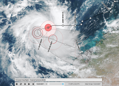
Tropical Cyclone Errol, which formed on Tuesday night, is quickly gaining strength to the north of WA and could turn towards the Kimberley coast later this week. At 8am AWST on Wednesday, Errol was a category two tropical cyclone located roughly 515 km to the north northwest of Broome. The system is moving west and […]

Tropical cyclone to form near WA

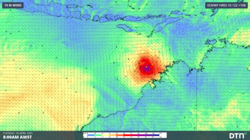
A tropical cyclone is likely to form off the north coast of WA in a matter of days, with signs that it could become a severe tropical cyclone next week. A tropical low is currently developing over the Timor Sea to the north of Darwin. The circulation centre of this developing low can be clearly […]

Equatorial Rossby wave brings increased tropical cyclone risk to northern Australia

A pulse in a lesser-known tropical wave will bring increased risk of tropical cyclone activity over northern Australia in the coming week. What are tropical waves? Earth’s tropical atmosphere contains a number of large-scale waves that influence cloud and rainfall patterns throughout the year. The most well-known tropical wave is called the Madden-Julian Oscillation (MJO), […]

Why Queensland has been getting all the rain

Multiple flooding events have occurred in Queensland since the start of 2025, but why? Last month was Australia’s hottest and 4th-wettest March on record. Queensland was especially wet, registering its 3rd wettest March on record. This moisture combined with the very warm temperatures around the country to bring the warmest March minimum temperatures on record […]

Latest news

Satisfy your weather obsession with these news headlines from around the nation, and the world.

How does DTN help businesses monitor bushfire induced pyrocumulonimbus thunderstorms that ignite more fires?

Intense heat from bushfires during elevated fire danger days can trigger fire-induced pyrocumulonimbus thunderstorms that ignite additional fires. In early January 2026, an extreme heatwave sweeping over southeastern Australia brought catastrophic fire danger to Victoria. Intensely hot bush and grass fires spread erratically and quickly in hot, dry and gusty winds, with pyrocumulonimbus generating lightning, […]

Active seas to the north and east of Australia disrupting port and maritime operations

Seas to the north and east of Australia are experiencing periods of increased activity this week, leading to disruptions to port, maritime and offshore operations. Intense and hazardous Tasman Sea Ocean conditions across NSW’s South Coast rapidly deteriorated last Friday as a deep feed of easterly winds whipped up large and dangerous seas. The Batemans […]

Transport, emergency and energy industries flooded across Greater Sydney with weekend deluges

Transport, emergency, energy and port industries in eastern NSW and Sydney were impacted by significant flash flooding with intense and heavy rainfall this weekend. Rainfall rates between 80 and 140mm in one to three hours were registered across parts of Sydney’s Northern Beaches and Central Coast on Saturday afternoon and evening. In some areas, these […]

DTN Dangerous Thunderstorm Alerts in action with severe thunderstorms disrupting Perth industries

Severe thunderstorms impacted southwest WA and the Perth region on Sunday, December 14, 2025, triggering Dangerous Thunderstorm Alerts (DTA) by DTN for industries and businesses in the region. DTN operates Dangerous Thunderstorm Alerts (DTA) which alert businesses and industries to thunderstorms based on intensity and movement. These alerts provide advanced notice of thunderstorms moving into […]