Parts of WA facing prolonged period of extreme heat
The mercury is rising in WA over the coming days with parts of the Pilbara and Kimberley are forecast to see temperatures reach at least 36°C for five consecutive days. This prolonged period of spring warmth is being caused by a stubborn high pressure system sitting over the Bight for the rest of the week […]
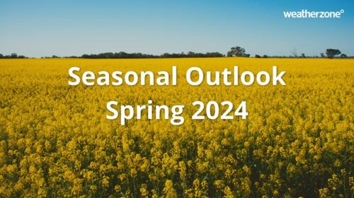
Spring 2024 outlook for Australia: warm and stormy season with increased fire risk
This spring is shaping up to be an unusually warm and stormy season for Australia, with some parts of the country also likely to see an increased risk of fires. Australia has entered spring off the back of its warmest August and second warmest winter on record. The end of winter was also very dry […]
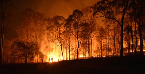
Increased fire risk in at least four states this spring
Australia’s warmest August on record has laid the foundations for an increased risk of fires in multiple states and territories this spring. According to the latest Australian Seasonal Bushfire Outlook, which was released on Wednesday, large areas of Australia will have an increased risk of fires this spring. The red shading on the map below […]
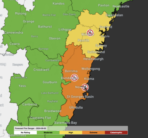
Early season Total Fire Bans in Sydney, Illawarra
Total Fire Bans (TFBs) have been issued for Greater Sydney and the Illawarra in NSW, a month ahead of the typical start to the fire season. Gale force winds are once again blowing across eastern Australia ahead of a cold front; the third such system in the last seven days after damaging winds on both […]
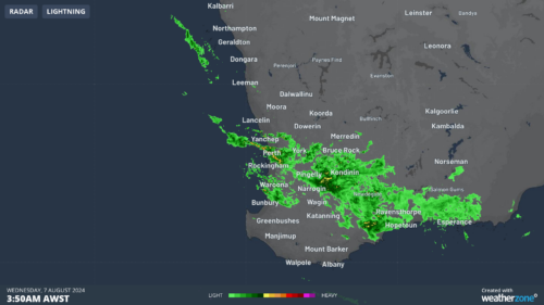
Heaviest August downpour in 48 years for WA town
The heaviest August rain in almost half a century has fallen in a town to the north of Perth on Wednesday morning, as a very unstable airmass moved across the region. A coastal trough extending from offshore Two Rocks to Bullsbrook and a cold front sweeping across southern WA triggered severe thunderstorms on Wednesday morning. The […]
Darwin’s ‘wettest’ July in 23 years
Darwin just registered its wettest July in 23 years, although it’s unlikely a single umbrella was raised throughout the month. July marks the middle of the NT’s dry season, which runs from May to September and typically includes periods of weeks to months without any rainfall in Darwin. This long spell of low rainfall occurs […]
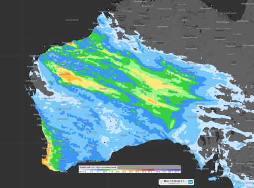
Five days of rain for parts of northwestern WA and SA
Parts of the Pilbara, Kimberley, WA’s interior, and inland SA are about to see a prolonged period of wet weather, as an upper-level trough moves over the region. The image below shows the upper-level trough over the Pilbara region on Friday night, which will slowly progress further east into central Australia on the weekend. Images: […]
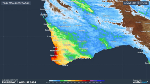
Perth’s first wetter-than-average month in more than a year
Another showery night in Perth has delivered enough rain to make this Perth’s first wetter-than-average month in more than one year. The animation below shows showers streaming over Perth and other areas of southwestern Australia late on Thursday. This wet weather was caused by persistent onshore winds along the west coast of WA, and the […]
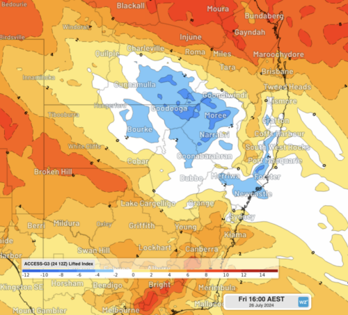
A stormy taste of spring for NSW and Qld
The weather is feeling quite spring-like over northern NSW and southern Queensland, with warm days, smoke from hazard reduction burns and even a chance of thunderstorms on Thursday and Friday. Northerly winds ahead of a trough and cold front are creating a very mild winter’s day, with temperatures 4-7 degrees above the July average across […]