Prosper in a dynamic world
Search

More thunderstorms in eastern NSW today

Parts of eastern NSW, including Sydney, will face another day of heavy showers and potentially thunderstorms today. A broad upper-level low and numerous surface-based low pressure troughs are producing wet and stormy weather over NSW at the start of this week. On Monday, heavy showers and severe thunderstorms soaked parts of eastern, central and northern […]

75,000 lightning strikes as severe storms pummel Sydney

A flurry of severe thunderstorms hit Sydney on Monday, causing heavy rain and lots of lightning. A line of thunderstorms started approaching Sydney from the east shortly before midday. By 12:30pm, a new thunderstorm cell had formed directly over the CBD, producing loud thunder, lightning and heavy rainfall. Several other storms then popped up across the […]

Heavy showers and severe storms in NSW today

Near-stationary thunderstorms caused a burst of heavy rain near Newcastle on Monday morning, with more downpours expected in other areas of NSW and southern Qld later in the afternoon and overnight. Moisture-laden air interacting with a low pressure trough will produce showers and thunderstorms over a broad area of eastern and northern NSW, and soutern […]

Increased chance of NT Tropical Cyclone

  A tropical low (07U) has now formed over the Gulf of Carpentaria, with a moderate chance of becoming a tropical cyclone on Thursday or Friday.  The satellite image below shows a broad-scale circulation rotating clockwise around the tropical low on Wednesday morning.    Image: Himawari-9 visible (top) shows the system rotating and the water […]

Severe storm threat spreads to NSW on Wednesday

  Thunderstorms will develop over parts of NSW on Wednesday, with severe storms possible in the afternoon and evening. The low pressure trough that triggered severe thunderstorms in parts of Vic and southern NSW on Tuesday will move further north across NSW on Wednesday. This system is likely to trigger showers and thunderstorms over a […]

Dangerous mix of weather in Vic, NSW, Tas

  It is going to be a wild day for parts of southeastern Australia, with severe heat, catastrophic fire danger, severe thunderstorms, blustery winds and a welcome cool change all on the forecast.  This dangerous mix of weather is being generated by a strong cold front, which will sweep across the region on Tuesday.  A […]

Darwin drenched as tropical cyclone threat looms

Darwin has had its wettest day in 7 years as a tropical low builds strength in the Top End and could become a tropical cyclone later this week. Over the last 36 hours, a tropical low has been building over the western Top End. Last night, the low strengthened enough to incorporate cross-equatorial winds from […]

Flooding in outback Qld, NSW seen from space

Satellites have captured images of floodwaters filling rivers and lakes in southwest Qld and northwest NSW, following heavy rain from ex-Tropical Cyclone Kirrily. Clouds, rain and thunderstorms have been a persistent feature over Australia’s eastern inland during the last fortnight. This late-summer soaking was caused by the overland journey of ex-Tropical Cyclone Kirrily, which made […]

Flooding rain from ex-Tropical Cyclone Kirrily spreads to NSW

The low pressure system formerly known as Tropical Cyclone Kirrily continues to cause heavy rain, thunderstorms and flooding over Australia’s eastern outback, more than 10 days after it made landfall. Tropical Cyclone Kirrily crossed Qld’s North Tropical Coast on the night of Thursday, January 25, making landfall as a category two system just north of […]

Latest news

Satisfy your weather obsession with these news headlines from around the nation, and the world.

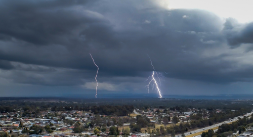
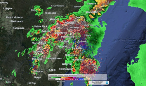
From Kimberley to northern NSW: Bushfire outlook flags risk for resources sector this winter

Bushfire risk doesn’t usually make headlines in June, but AFAC’s winter seasonal outlook is putting mining and resources operators on alert from the Kimberley to the NSW.  Australia’s official seasonal bushfire outlook for winter 2026 was released by AFAC on Thursday, May 28. The outlook predicts increased fire risk across the northern parts of the Great Sandy Desert and surrounds […]

The signal was there weeks earlier: forecasting one of the year’s biggest wind events

In mid-May 2026, DTN APAC meteorologists flagged a strengthening Southern Ocean pattern in model guidance, signalling an extended run of record-challenging wind conditions across the NEM.  Nearly three weeks later, NEM wind generation climbed from around 1.5GW to more than 9GW, supplying roughly one-third of the grid and coming within 1GW of the all-time generation record.  The event highlighted […]

The 2026 Indian Southwest Monsoon onset is expected in the next two weeks

The Indian Southwest Monsoon will reach India in the next two weeks, but a developing El Niño could signal a drier than normal monsoon for businesses and major industries across the country. Southwest monsoon onset over southern India in the next two weeks The Indian Meteorological Department (IMD) is responsible for tracking the advance and […]

Rapid El Niño signal accelerating risk for Australian businesses

El Niño–favourable conditions are gathering pace across the tropical Pacific, with key ocean indicators approaching threshold levels and early atmospheric responses emerging.  While uncertainty remains around final El Niño strength, historical analogues show that even weak events can generate widespread impacts, including reduced rainfall, warmer daytime temperatures, increased frost risk, elevated fire danger, reduced tropical cyclone activity, and more. Industries including […]