


Prosper in a dynamic world
Search

Cold snap to hit five states this weekend

A burst of cold weather will strike southeastern Australia this weekend, causing a wintry mix of low-level snow, icy winds, rain, hail and thunderstorms. A strong cold front will drag a polar air mass across Australia’s southeastern states on...

More than 100 thousand lightning strikes lashed northwest WA this week

It’s been a very active thunderstorm week in the Pilbara and Gascoyne region, with thousands of lightning strikes detected in the region.  The thunderstorms were triggered by a near-stationary trough sitting along WA’s west coast, paired with an unstable...

Bitter wintry chill returning this weekend

A two-pronged burst of cold weather is heading the way of southeastern Australia, bringing the sort of chill that was largely missing during Australia’s warmest August on record. A relatively weak cold front passing through Tasmania this Wednesday will...

Parts of WA facing prolonged period of extreme heat

The mercury is rising in WA over the coming days with parts of the Pilbara and Kimberley are forecast to see temperatures reach at least 36°C for five consecutive days.  This prolonged period of spring warmth is being caused...

Spring 2024 outlook for Australia: warm and stormy season with increased fire risk

This spring is shaping up to be an unusually warm and stormy season for Australia, with some parts of the country also likely to see an increased risk of fires. Australia has entered spring off the back of its...

Hydropower season just about finished

The snow coverage across much of Australia’s hydropower catchment area is scarce after Australia saw the warmest August on record, with lake levels also behind what we saw in 2023. This was the scene at Perisher on Sunday morning,...

Why Melbourne hit 21°C at 3am last night

Melbourne saw an unusual spike in temperature last night when the mercury jumped to 21°C at 3am, making the middle of the night feel warmer than an average spring day. Thursday night started off warm for this time of...

Moderate flooding, damaging winds and high fire danger today

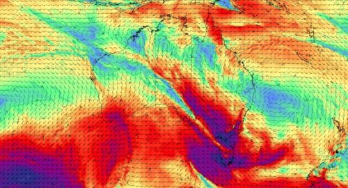
Yet another cold front will bring renewed potential for moderate flooding in Tas and damaging winds, high fire danger and well above average temperatures to southeastern states in the next 48 hours.    The satellite image below shows the...

Damaging winds returning to southeastern Australia

Another surge of powerful winds will spread across Australia’s southeastern states over the next two days, prompting warnings for damaging wind gusts in parts of Victoria, NSW and the ACT. A vigorous northwesterly airstream and embedded cold fronts will...

Latest news

Satisfy your weather obsession with these news headlines from around the nation, and the world.

Australia’s 2026-27 Tropical Cyclone Season: Late Start, Real Risk

Australia’s tropical cyclone season is officially underway, but we may not see much activity for few months yet.  The season runs from November to April, and for mining operators and businesses across northern Australia, 2026-27 is shaping up to be a season where the headline numbers and the real risk may not line up.  On […]

Positive IOD declared: Not a typical dry signal for Australia

A positive Indian Ocean Dipole is underway, but this one is unlikely to deliver the textbook dry spring and summer that businesses have come to expect from the pattern.  The Bureau of Meteorology officially declared a positive IOD on Tuesday, October 27, which typically like El Niño can cause drier and warmer conditions over parts of […]

Signs of a positive Indian Ocean Dipole, but it may not follow the textbook

Waters off Indonesia have cooled in recent weeks, an indication that a positive Indian Ocean Dipole (IOD) event could be developing. It’s an important climate driver for Australia, and it could shape rainfall and temperatures heading into summer, with flow-on effects for farmers, energy and other industries.  What is the Indian Ocean Dipole?  The IOD […]

1.3 million lightning strikes and a record September downpour: the storms testing WA’s Goldfields

Leonora, WA, had its wettest September day on record earlier this month. Three weeks later, more than 1.3 million lightning pulses were detected within 800 km of the town in 48 hours. Why is a stalled trough delivering storms to mining country, and what it could mean for operations?  The DTN Total Lightning Network detected […]
