
After its driest September on record with average maximum temps almost three degrees above average, Melbourne is into its third day of a cold October outbreak, and that wintry feeling is not going anywhere for a few days yet.
In fact, Melbourne could be looking at its coldest six-day run of October maximum temperatures for at least a decade, and possibly its coldest October week in two decades.
Here are Melbourne’s recorded or forecast max temps from this Wednesday to next Tuesday.
- Wed Oct 4 – 13.5°C
- Thurs Oct 5 – 16.5°C
- Fri Oct 6 – 15°C (forecast)
- Sat Oct 7 – 15°C (forecast)
- Sun Oct 8 – 17°C (forecast)
- Mon Oct 9 – 16°C (forecast)
- Tues Oct 10 – 18°C (forecast)
If Melbourne stays colder than 17 degrees until the end of Monday, then it’ll be the first time since 2013 that the city has gone six straight October days without exceeding that mark.
If Tuesday falls a degree short of the predicted top of 18°C, then it’ll be Melbourne’s coldest October week (as in any seven-day run, not just Mon to Sun) in two decades.
Why the spring chill?
Wednesday’s cold front obviously opened the door for this spell of unseasonably cool weather. Sometimes the effects of a cold front only last a day or two in southern Victoria, as winds swing back to the west or northwest. Not this time.
This Friday night’s synoptic chart shows why.
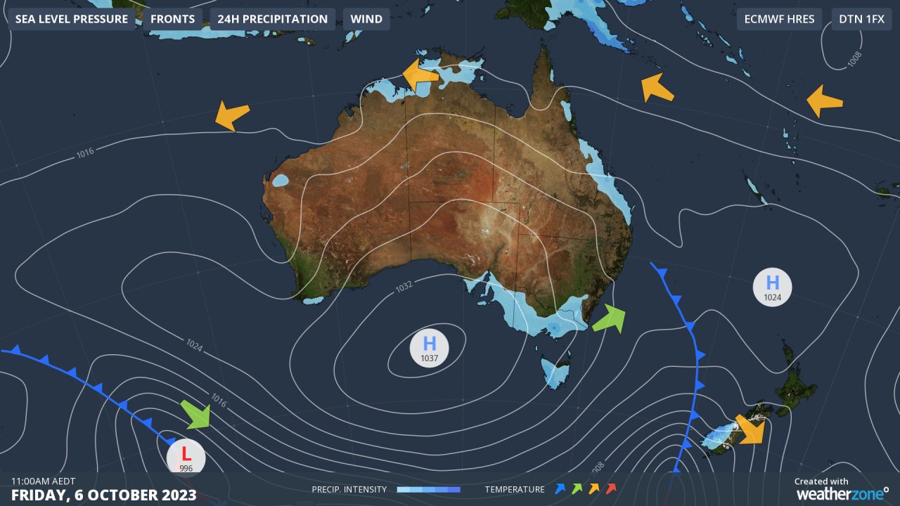
That high pressure system centred over the Great Australian Bight is like your mate who crashed on the couch on grand final night and is still sleeping there.
The high is not expected to track east over the Tasman Sea until next Wednesday, which means a cool southwesterly or southerly airstream will continue to be funnelled Melbourne’s way. Winds won’t be strong, so nights will be cool as well.
- This cool spell and the 32.6 mm of rain it has brought is welcome relief for Melburnians after the city’s driest September on record with just 10.8 mm of rain
- As mentioned at the top, September was also very warm. Melbourne’s average maximum of 20.1°C was 2.8°C above the long-term average
Elsewhere in Victoria, the flood threat continues after extremely heavy midweek rain in some areas, while it is easing in East Gippsland. Please check our warnings page or our app for more info.


