
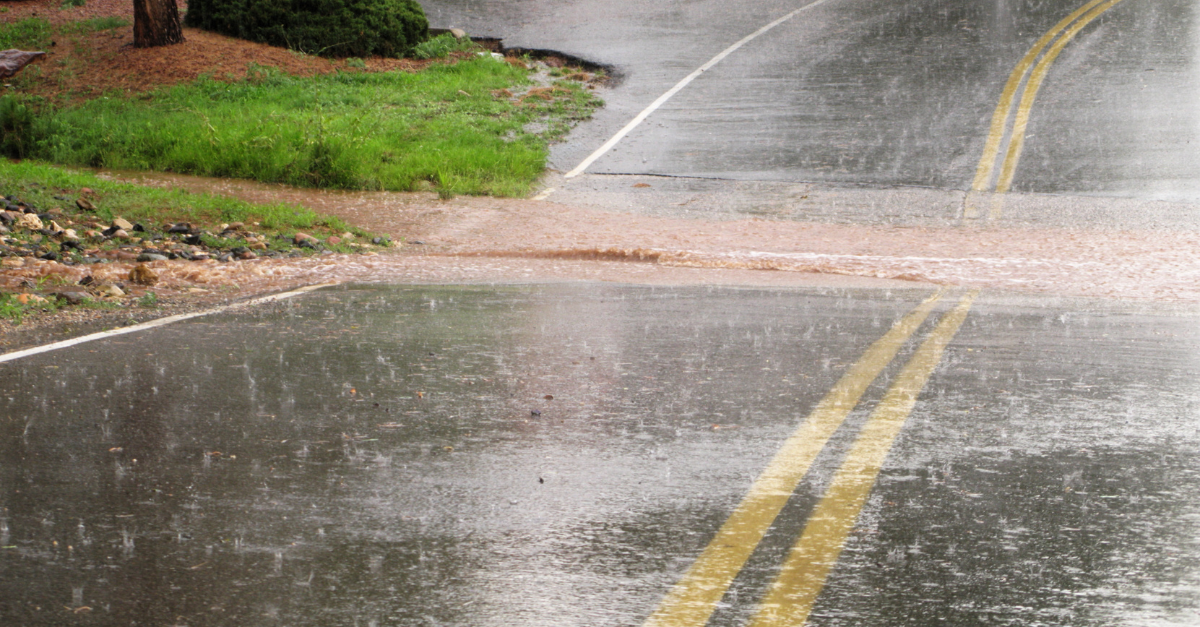
Some rivers in northern Victoria are currently experiencing their biggest flood event in decades. So, just how does this month’s flooding stack up against other big floods of the past?
A huge amount of water has been dumped into river catchments in northern Victoria and southern NSW over the last week. This rain was produced by a near-stationary low pressure system directing a large cloudband over southeastern Australia.
The map below shows that around 50 to 200 mm of rain fell over a broad area of central and northern Victoria during the past seven days. For some places, this was around two-to-three months’ worth of rain. A couple of locations even exceeded 200mm, including Strathbogie North, which received 231 mm during the 72 hours ending at 9am on Saturday, October 15.
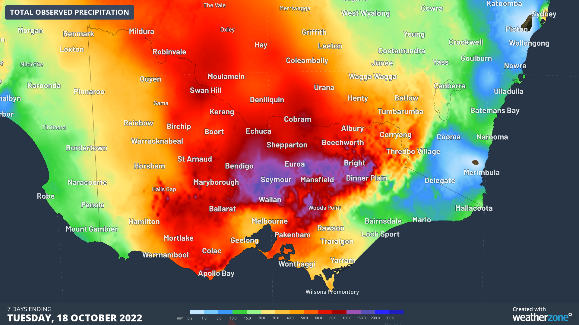
Image: Observed rainfall during the seven days ending at 9am on October 18, 2022.
Bendigo’s 117 mm of rain during the 48 hours ending at 9am on Friday, October 14, was its highest two-day total on record, with data available back to 1863.
The past week’s heavy rain caused major flooding in numerous rivers and creeks across northern Victoria and southern NSW.
On Sunday night, the Goulburn River reached a peak height of 12.06 metres at Shepparton, well above its major flood level of 11.0 metres and around the same height as the 1974 flood peak of 12.09 metres.
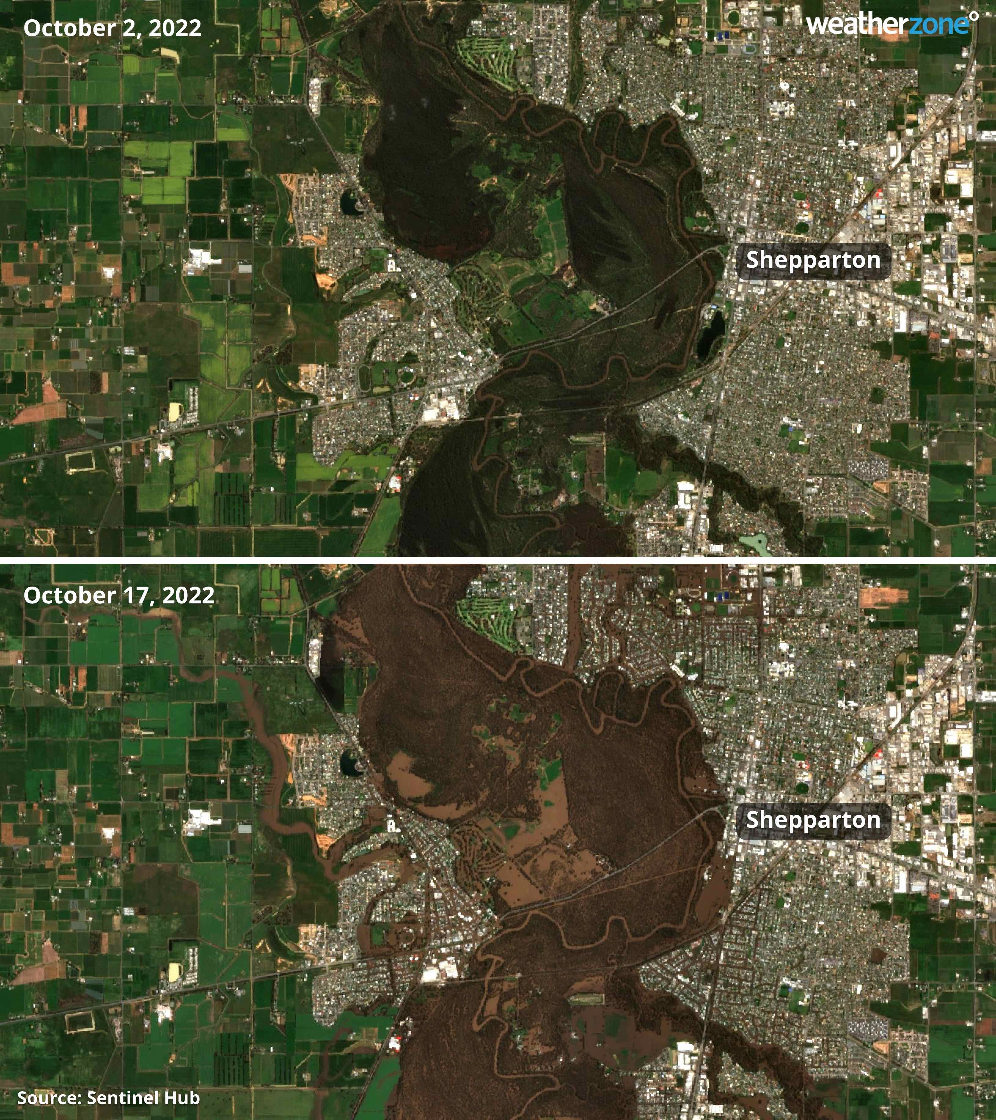
Image: Satellite images showing the Goulburn River at Shepparton before (top) and after (bottom) the past week’s flooding.
Further downstream, water flowing out of the Goulburn River is helping to push up the Murray River, where major flooding is likely to occur at Echuca from Wednesday. According to the Bureau of Meteorology, the Murray River at Echuca will continue to climb over the next few days and could reach around 95 metres AHD (above mean sea level) by Friday, which would be higher than the flood height seen here in 1993.
Echuca’s historical river level data is patchy and only goes back to 1987. However, there are a few flood gauges further down the Murray River that have longer historical records.
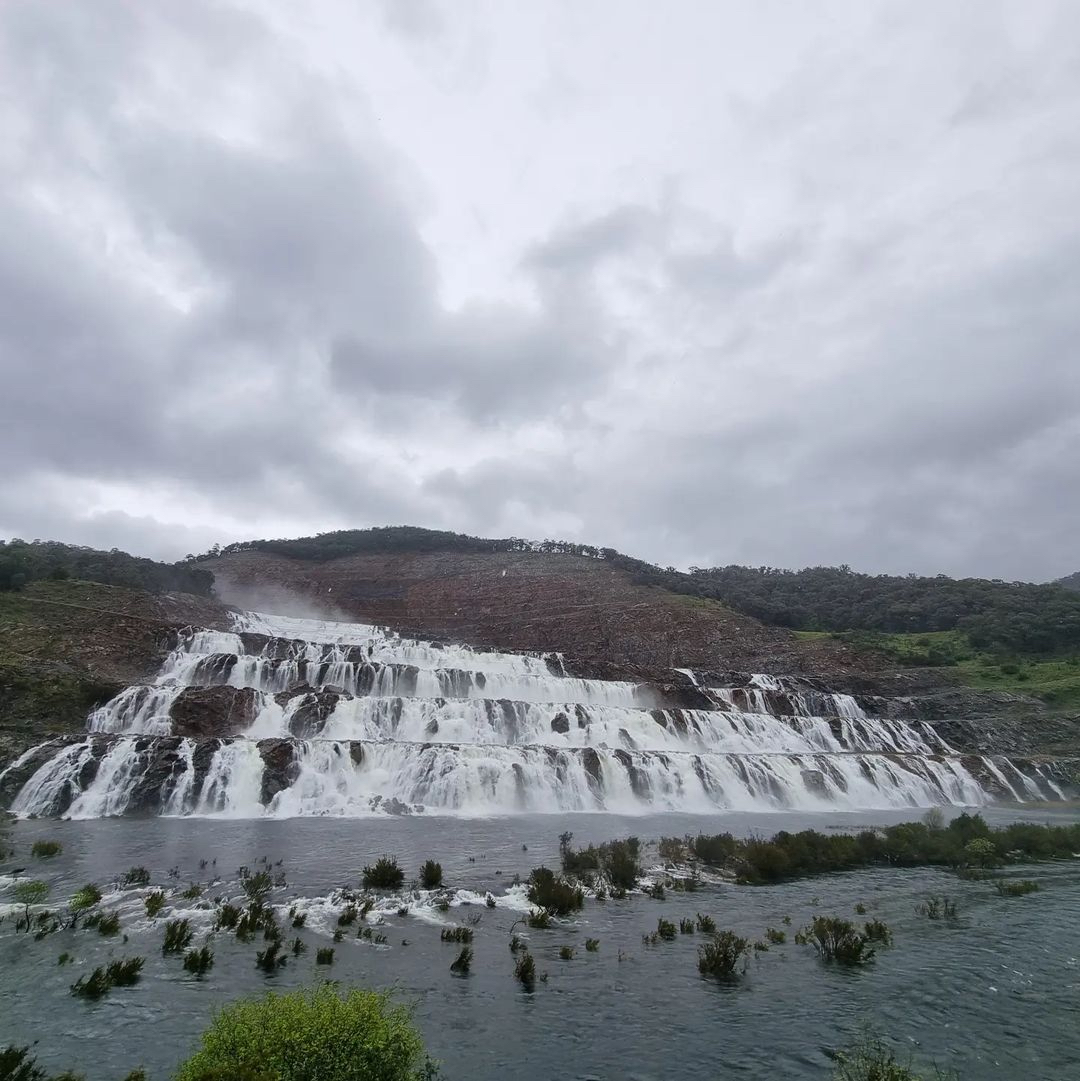
Image: Dartmouth Dam in response to last week’s rain. Source: @beegee42 / Instagram
The Murray River at Barham reached 6.16 metres earlier this week and may climb to around 6.20 metres in the last week of October, according to Bureau predictions. This would be higher than the 1993 (6.10 m), 2016 (6.08 m), 1975 (6.12 m) and 1956 (6.12 m) floods. In data going back to 1913, the only higher flood peak at Barham was 6.22 metres in 1917.
The predicted flood peak of 6.20 metres at Barham has an Annual Exceedance Probability (AEP) of close to 1 percent, meaning the likelihood of this flood height occurring in any given year is around 1 in 100.
This flood event will be ongoing for weeks to months due to the vast amount of water already in the landscape and a heightened likelihood of above-average rain in southeastern Australia during the remainder of 2022.
For more information on Weatherzone’s seasonal services, heavy rainfall and thunderstorm alerts, please contact us at apac.sales@dtn.com.




