
Australia’s 2025-26 tropical cyclone season is almost here and the names that will be used for cyclones throughout the season have been locked in.
The Australian tropical cyclone season runs from the beginning of November to the end of April. During this six-month period, we usually see around 9-11 tropical cyclones in the Australian region, with 4-5 of these typically becoming severe tropical cyclones (category 3 or higher on the Australian scale).
This season has the potential to be see a near to above average number of tropical cyclones in the Australian region due to an abundance of warm sea surface temperatures to the north of Australia and a weak La Niña-like pattern in the tropical Pacific Ocean. The warm oceans to the north of Australia also help to increase the proportion of severe tropical cyclones this season – increasing the risk for severe disruptions to mining, shipping and transport industries across northern Australia.
Tropical cyclone names
Naming tropical cyclones in the Australian region is the responsibility of the Bureau of Meteorology and has been occurring since the 1960s. These names are assigned using a predetermined list that runs in alphabetical order and alternates between male and female names.
The next 11 tropical cyclone names that will be used for systems forming in Australia’s area of responsibility are shown below, starting with Fina.
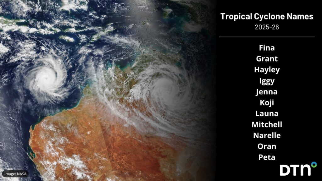
Image: Names that will be used in the 2025-26 tropical cyclone season.
Tropical cyclone names can be retired when a system causes significant damage or loss of life. There have been more than 130 names permanently retired in the Australian region, including:
- Tracy – The small but destructive system that hit Darwin early on Christmas Day in 1974.
- Olivia – The tropical cyclone that produced a wind gust of 408 km/h at Barrow Island, WA, in 1996. This is the current world record for the strongest wind gust ever observed directly.
- Debbie – A powerful severe tropical cyclone that hit eastern Qld in March 2017 before spreading flooding rain towards southeast Queensland and northern NSW.
- Alfred – A slow-moving tropical cyclone that caused more than $1 billion damage and gained lots of media attention as it approached southeast Queensland earlier this year.
It is not possible to know how many tropical cyclones will cross the Australian coast this season, or where they will strike. However, at least one tropical cyclone has made landfall over the Australian coastline in every season since reliable records began in the 1970s.
How DTN APAC is helping businesses prepare for the 2025-26 Tropical Cyclone Season
DTN APAC specialises in industry-leading forecast, alerting and threat analysis of tropical cyclones across Australia and Asia, offering you expert, customised solutions when the weather turns wild.
Providing rapid-update forecast information, we alert you to any low-pressure system gaining power within your region and, unlike other providers, can track its development out to 7 days. This gives you the time to prepare and safeguard your staff, sites and assets.
You will have the most precise weather intelligence charting rainfall, wind speeds and potential storm surges to help you make critical decisions quickly. Whether it’s adjusting key work schedules, protecting your staff or securing your site, we have the alerting capability to keep you steps ahead of the storm.
As the climate delivers increasingly severe weather events, their potential to impact your business operations grows.
Whether it’s preparing for the coming season’s tropical storm potential, or rapid-response forecasting with a typhoon approaching, or simply ensuring your operations team is equipped to confidently make decisions ahead of severe weather, our weather Risk Communicators are here for you.
Our weather risk communicators deliver short- to long-term guidance from:
- hourly-event weather monitoring (alerting you of impending destructive winds and heavy rain ahead of a tropical cyclone).
- week to month operational planning based on likely timing of increased monsoonal rain or periods of reduced cyclone activity.
- seasonal long term planning based on climate drivers and the likely trends across the coming months.
We deliver clear and comprehensive weather data, personalised risk assessments and briefings to you and your team, so that your critical decisions can be made with confidence.
We are available 365 days a year, so you always have the timely guidance you require, especially when severe conditions hit.
You have our insights to rely on to see you through complex situations, minimising potential loss of profit and maximising the safety of your staff and assets.
Learn more about our large range of industry leading products and services or email us at sales.apac@dtn.com


