Prosper in a dynamic world
Search

Solar output to take a hit as Australia enters its darkest month


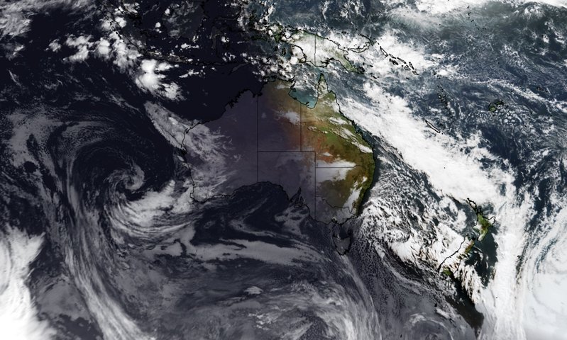
Australia has now entered its darkest four-week period of the year as the Southern Hemisphere edges closer to the winter solstice.

Earth’s tilt relative to the sun changes throughout the year. For one half of the year, the Southern Hemisphere is tilted more towards the sun and for the other half, it tilts away from the sun. This constantly changing tilt causes our planet’s seasons and it is why days and nights progressively change in length throughout the year.

The date on which the Southern Hemisphere reaches its furthest tilt away from the sun is called the winter solstice, which occurs on or near June 21.

This year, the moment of the Southern Hemisphere’s winter solstice occurs at 7:14pm AEST on Tuesday, June 21. This will mark the shortest day of the year in the Southern Hemisphere.

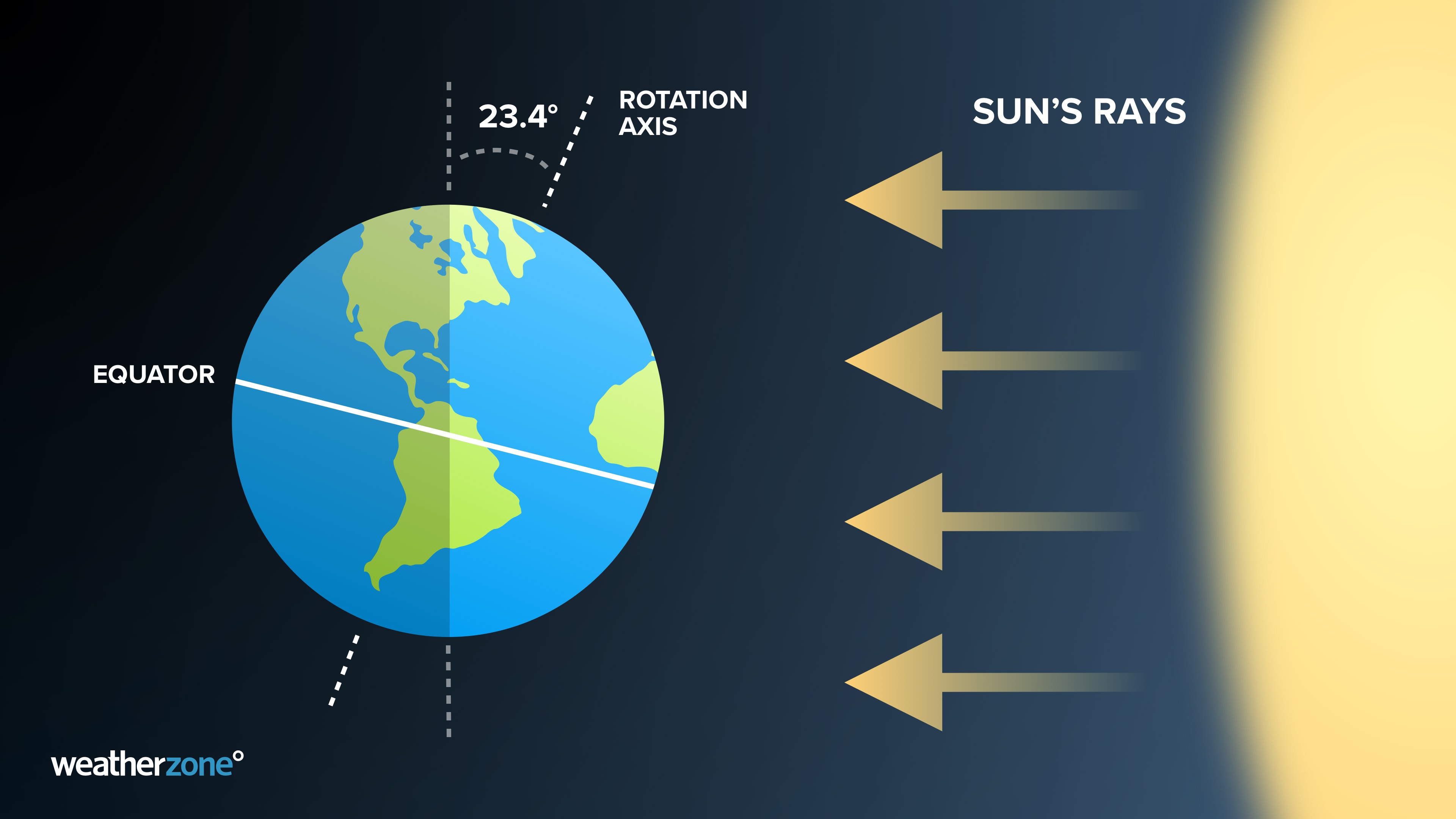
Image: Earth’s tilt relative to the sun on the date of the Southern Hemisphere’s winter solstice.

The four-week period surrounding the winter solstice is the darkest month of the year across Australia. This year’s darkest four-week period runs from June 8 to July 5.

So, if you’re noticing days seem to fly by over the coming month, you’re not imagining it. But the good news is that days will start getting longer from June 22.

Solar output and winter 

During  winter, the light from the sun does not hit solar panels at an optimal angle because the sun is lower in the sky.  The days are also short at this time of year reducing the sunlight harvesting hours.

Solar power is becoming increasingly important in the Australian energy markets; however, the variable nature of solar generation poses significant challenges for integration into the electricity industry. 

Weatherzone, in partnership with Solcast, provides solar power forecasting and solar irradiance data, for both large-scale solar farms and small-scale PV systems, plus their grid or regional aggregates. For more information, please contact us at apac.sales@dtn.com 


Latest news

Satisfy your weather obsession with these news headlines from around the nation, and the world.

DTN Dangerous Thunderstorm Alerts in action with severe thunderstorms disrupting Perth industries

Severe thunderstorms impacted southwest WA and the Perth region on Sunday, December 14, 2025, triggering Dangerous Thunderstorm Alerts (DTA) by DTN for industries and businesses in the region. DTN operates Dangerous Thunderstorm Alerts (DTA) which alert businesses and industries to thunderstorms based on intensity and movement. These alerts provide advanced notice of thunderstorms moving into […]

How Australian East Coast port and maritime operations could be disrupted by tropical cyclones over the next two weeks

Port and maritime operations across Australia’s East Coast could be disrupted by increased tropical cyclone activity in the Coral Sea and southwest Pacific Ocean over the next two weeks. Meteorologists reference a large selection of Numerical Weather Prediction (NWP) models to forecast weather. A number of these NWP models are forecasting the development of tropical […]

Extreme fire danger and severe heatwave conditions spreading across SA, Victoria and NSW

Hot, dry and windy weather causing elevated fire danger and severe heatwave conditions are sweeping across southeastern Australia over the next three days, driving high energy demand and disruption to operations. Clear skies associated a large and slow-moving high pressure system have allowed hot air to build up over parts of northern, western and central […]

Heightened bushfire risk during the 2025-26 summer for WA, Victoria and NSW in latest AFAC Outlook

The Australian and New Zealand Council for fire and emergency services (AFAC) identified western and southern WA, Victoria and inland NSW as key regions that are at risk of heightened bushfire risk this summer. Parts of Australia have experienced severe soil moisture and rainfall deficiencies over the past months and years, while high fuel loads […]