Prosper in a dynamic world
Search

Australia’s 2021/22 tropical cyclone season is here

November 2nd 2021

MicrosoftTeams-image (92)

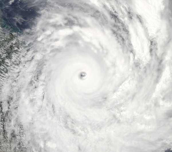
Monday, November 1st, marked the start of Australia’s 2021/22 tropical cyclone season, which will run for the next six months until the end of April.

As we pointed out last week, Australia can expect a near to slightly above average number of tropical cyclones this season, which means about 12 to 13 instead of the usual 9 to 11.

This above-average cyclone outlook is being driven by abnormally warm waters near northern Australia, a decaying negative Indian Ocean Dipole (IOD) and a developing La Niña in the Pacific Ocean.

MicrosoftTeams-image (94)

Image: Observed sea surface temperature anomalies on October 30th, showing abnormally warm water near northern Australia and a distnictive La Niña-like pattern in the Pacific Ocean. Source: NOAA

While there aren’t any sings of tropical cyclone development near Australia in the next week, the current setup does raise the likelihood of early-season cyclone development.

Both La Niña and a negative IOD typically cause the season’s first tropical cyclone to develop around three weeks earlier than average, which statistically means mid-November instead of early December.

Regardless of when it develops, the first tropical cyclone to form in Australian waters this season will be named Paddy.

MicrosoftTeams-image (95)

The Bureau of Meteorology maintains a list of names that it assigns to tropical cyclones that develop in Australia’s area of responsibility. This list runs alphabetically and alternates between male and female.

Weatherzone will bring you regular updates on tropical cyclone activity in the Australian region during the next six months.

If you have any questions or would like more information on Weatherzone’s forecasting services, please contact us at apac.sales@dtn.com.

Latest news

Satisfy your weather obsession with these news headlines from around the nation, and the world.

Perth sets rainfall streak not seen in 18 years as water storage levels fall

For four months in a row, Perth has exceeded its average monthly rainfall – the first time this has happened in the traditionally wet winter and spring period since 2007. Perth reached its September average of 79.3mm during light showers on Tuesday and Wednesday. Another 13.2mm of rain then fell in the 24 hours to […]

DTN remote sensing captures rain and thunderstorms lashing Solomon Islands

Aviation, mining and shipping industries in the Solomon Islands and other South Pacific nations are often unable to use traditional radar to warn of incoming storms that disrupt operations and put workers in harm’s way. DTN APAC offers a suite of remote sensing weather solutions that give businesses and industries in remote areas around the […]

Negative Indian Ocean Dipole officially underway – here’s what it means for Australian businesses and industries

A negative Indian Ocean Dipole (IOD) event is now underway, increasing the likelihood of above average rain over large parts of Australia in the coming months. What is the Indian Ocean Dipole (IOD)? The IOD is an index used to monitor sea surface temperatures across the tropical Indian Ocean. It’s an important index for the […]

La Niña more likely this year after BoM switches to new index – what does this mean for Australian businesses?

The likelihood of La Niña occurring in 2025 has increased due to a change in the way the Bureau of Meteorology calculates sea surface temperature anomalies in the tropical Pacific Ocean. What is La Niña? La Niña refers to a distinct pattern of sea surface temperatures across the tropical Pacific Ocean. When La Niña is […]