

Auroras lit up the skies on the weekend amid one of the strongest geomagnetic storms in years, but did this display impact businesses?
The spectacular exhibit was the aurora borealis/australis or northern and southern lights seen in both hemispheres.
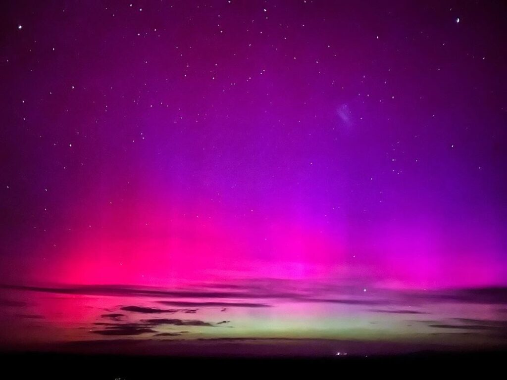
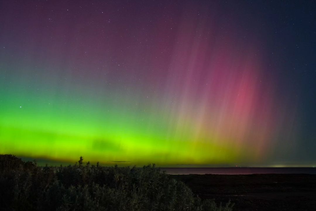
Images: Aurora Australis on Saturday, May 11 from Bendleby Ranges, SA (top), source: @bendlebyranges and Ricketts Point, Vic (bottom), source: @dayofthedreamer
These lights are typically only seen in the polar latitudes, but this weekend they were spotted as far north as Mackay in Queensland. This was caused by the strongest solar flare and storm seen in over 20 years. This auroral display was caused by a solar flare and multiple coronal mass ejections (CMEs) which erupted from the sun over a few days on the weekend. Charged particles were then carried from the sun to earth by a solar wind.
When these particles reached earth, they interacted with our planet’s magnetic field and were driven towards the magnetic poles. In the upper layer of the atmosphere called the ionosphere (90km above the surface) the solar wind collides with oxygen and nitrogen in this layer and produces a colorful display.
The southern lights typically occur between 50 and 800km above the surface, well above the layer of atmosphere that planes typically fly in.
So, do they impact aviation despite occurring well above the flight level?
Yes, space weather events like this can impact aviation communications, navigation and surveillance systems. They can also increase the radiation exposure of aircraft in the air.
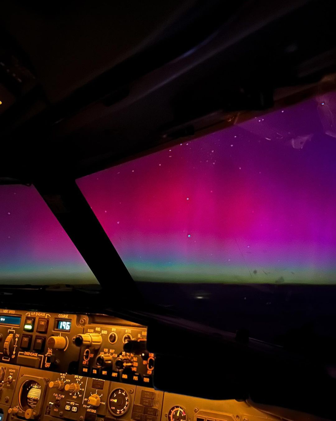
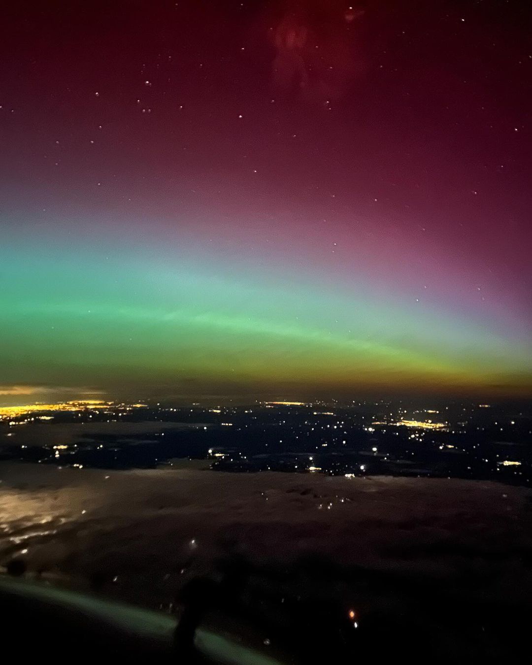
Images: Aurora Australis from Virgin plane cockpit on Saturday, May 11. Source: @shelbytillett
The charged particles caused by CMEs can modify the upper layer of earth’s atmosphere called the ionosphere, which can impact our technology systems. High frequency radio communication depends on the ionosphere reflecting radio waves back down to earth.
Satellite communication, navigation and surveillance rely on the transmission of signals through the ionosphere. According to the Bureau of Meteorology’s space weather department, ‘Space weather events that modify the density and/or structure of the ionosphere can therefore significantly impact the performance of HF COM, SATCOM and SATNAV systems’.
While communication and navigation can be impacted by the modification of the ionosphere, the electricity network can also be impacted. The storms can induce currents in power lines, overheating transformers, which can potentially cause power outages. The strongest geomagnetic storm ever recorded occurred during September 1859, called the Carrington Event. This event caused multiple fires of telegraph systems across Europe and North America.
There have been no reports of negative major impacts of this solar storm, it was merely a spectacular display that captivated people across the world. Unfortunately, auroras are notoriously difficult to forecast as they need multiple factors to line up for these beautiful lights to occur.
Looking ahead, the sun is nearing its solar maximum, which means we could see more sunspots on the sun’s surface between now and October. This could increase our chance of seeing more spectacular displays in the coming months. DTN APAC delivers a proven aviation weather briefing system, developed in collaboration with the industry, to keep your enterprise performing at peak efficiency.
We meticulously tailor actionable weather intelligence to suit the scope of your company’s work, on the ground and in the air. Accurate and comprehensive international data informs your daily decisions on safety, fuel loads and staffing.
Working alongside our global network of partners and suppliers we collate the data to give you full situational awareness of both en route and port specific conditions. Weatherzone is accredited and adheres to standards for aviation meteorology set by the World Meteorological Organisation (WMO) and the International Civil Aviation Organisation (ICAO). Registered with the ICAO and providing safety critical OPTMET data with permission from Air Services Australia, our aviation services meet the industry’s stringent requirements.
This is weather intelligence delivered in an easy to visualise format. No matter what the weather has in store, we give you clear foresight to make informed decisions. Contact us here.




