More heavy rain, thunderstorms, damaging winds and dangerous surf will lash eastern NSW over the next 48 hours.
After two weeks of relentless rain and widespread flooding, mother nature isn’t ready to turn the tap off over eastern NSW just yet.
An upper-level low passing over eastern Australia on the weekend caused moisture-laden air from the Tasman Sea to feed into a deepening low pressure trough.
This weather pattern caused heavy rain and storms over a broad area of eastern NSW on Saturday and Sunday.
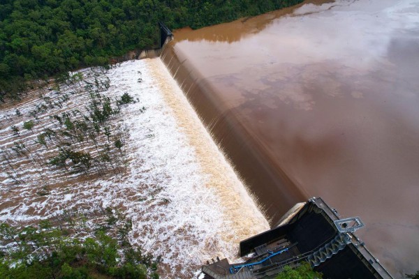
The heaviest falls during the 24 hours to 9am on Monday occurred over the Illawarra escarpment, where Broges Creek received 254mm and Fitzroy Falls had 191mm. Kiama’s 134.8mm was the site’s heaviest daily rainfall in seven years.
Further north, Katoomba collected 101 mm and Penrith had 61mm during the 24 hours to 9am on Monday, which added more water to the flooding in western Sydney.
Over the next 48 hours, the upper-level low pressure system will continue to cause dangerous weather in eastern NSW.
Showers and thunderstorms will affect part of northeast NSW on Monday and Tuesday as the upper-level low crosses the region. Some of these storms could be severe and localised burst of heavy rain are likely.
Further south, a low-pressure trough near the NSW coast is expected to deepen into a low pressure system on Monday and Tuesday. This deepening low is likely to drive even heavier rain and stronger winds into the state’s central and southern coast and ranges.
The map below shows how much rain one computer model is predicting between Monday morning and Tuesday night. This gives an indication of where the heaviest rain will occur and how much could fall.

Image: Forecast accumulated rain between 5am AEDT on Monday and 11pm AEDT on Tuesday, according to the ACCESS-C model.
However, there is quite a lot of uncertainty regarding this developing system and rainfall predictions are hard to pin down. The image below shows the predicted two-day rainfall from three different computer models, during the 48 hours ending at 11pm AEDT on Tuesday.

Image: Forecast accumulated rain during the 48 hours ending at 11pm AEDT on Tuesday, March 7, according to the ECMWF, ACCESS-G and GFS models.
While it is difficult to predict exact rain rates for the next two days, widespread falls in excess of 100mm are likely over parts of the coast and ranges between the Hunter and South Coast on Monday and Tuesday combined.
Isolated 48-hour rainfall totals could reach 200 to 300mm, with six-hourly falls of 80 to 120mm possible on Monday night and Tuesday as the low drifts further south. The image below shows forecast 6-hourly rainfall up to 4am AEDT on Tuesday from a high-resolution computer model.

Image: Forecast rain between 2am AEDT on Tuesday and 8am AEDT on Tuesday, according to the ACCESS-C model.
In addition to heavy rain, this system will also bring a surge of powerful southerly winds and a large swell along the NSW coast from Tuesday into Wednesday, particularly south facing beaches.
Damaging winds, hazardous surf, coastal inundation, and erosion are all possible on Tuesday and Wednesday as this wind and swell pushes up the coast.
The damaging wind gusts are expected to peak at around 90km/h from Tuesday morning. These winds could also bring down trees, especially in areas where the soil has been softened by recent rain.
At this stage, rain should ease from Wednesday as the low pressure system moves offshore, although wind and surf will remain hazardous until at least Thursday.
A long list of warnings is in place for eastern NSW, including flood warnings and a severe weather warning. Be sure to check the latest advisories in your location of up-to-date information on this evolving event.
Weatherzone’s flood risk system
We have developed a flood risk system which accurately determines rainfall intensity at any given point along your mine site, catchment, road or railway.
The system uses radar technology which scans typically every 6-10 minutes, sending your business regular alerts or updates for your specific mine site or railway using geofencing technology.
Will the flood event subside, continue or worsen? The rainfall risk system is used in combination with Opticast™, an industry leading forecast system which forecasts rainfall intensity and accumulation at your location.
Weatherzone also provides businesses with long term rainfall forecasting solutions out to 6 months, which allows businesses to plan well in advance and reduce the impact on day-to-day operations. For more information, please contact us at apac.sales@dtn.com.


