Recent weather events, such as tropical cyclones and record-breaking flooding, have once again brought into focus the resiliency of utilities. Even though utility companies are continually evaluating their grid systems and investing in resilience measures, weather events can cause power outages that last days, even weeks, across the country.
For example, severe thunderstorms can have a significant impact on distribution networks by causing damage to grid infrastructure. Damaging winds can bring down distribution’s spans, poles and other electrical assets which pose safety risk to both the community and repair crews. The damage can also cause network outages, leaving thousands of customers without power. Acting quickly and reducing outage time as well as safety are key priorities for Australia utility providers.

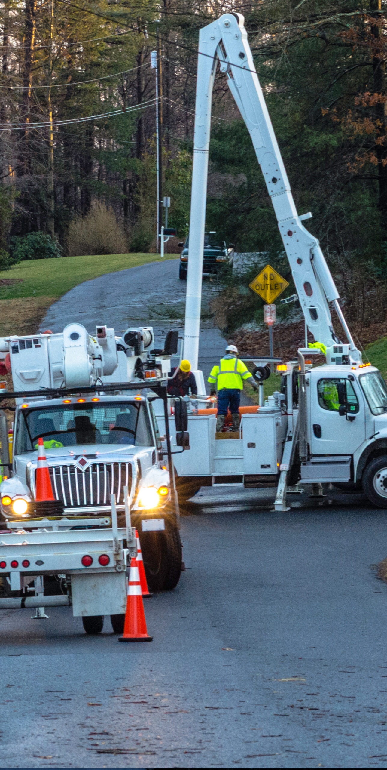
Image: Crew out in the field repairing and maintaining lines
Weatherzone and DTN have the solution.
Weatherzone can help utilities transform their emergency management practices to proactively plan response and restoration efforts before severe weather-related outage events. Storm Impact Analytics is a damage and outage incident prediction system, developed by Weatherzone’s parent company DTN, that uses a machine learning-based approach to provide a set of quantitative predictions that support a more prepared response.
The outage prediction model considers high winds, temperature, precipitation, atmospheric instability, and more to determine the strength of incoming storms and the associated risks at various time horizons. This weather modelling is combined with non-weather data – such as historic utility outages, utility asset records, vegetation and other variables – and finally machine learning predictive analytics to determine the impact of weather on the utility across specific geographical regions.
This is then translated into impact information, such as the potential number of incidents, customer outages, and restoration effort estimates. This enables utilities to plan, make decisions and deploy restoration crews to the risk area/s, ensuring minimal service disruptions.
How can this system assist utility emergency preparedness managers?
The Storm Impact Analytics solution has been developed to respond to some of the most common questions that utility emergency preparedness managers are facing when extreme weather is on the horizon:
- Which assets are at risk?
- What might be the extent of damage of the assets at risk?
- Which customers could be potentially affected by the forecasted severe weather?
- Which past events are most like this forecasted storm?
- How to plan better for the workforce and inventory of materials that will be critical for restoration efforts?
Improving your outage response strategy and preparing for storms can help reduce your cost recovery.
The Multi-Hazard Mitigation Council estimates that every dollar spent reducing risk before an event such as a flood, or extreme winds, storm surge, wind extreme or wildfire saves up to 10 dollars that would otherwise need to be spent on recovery and response.
The system also enables emergency preparedness managers and their companies to have additional insight into infrastructure resiliency.
Storm Impact Analytics and its machine-learning models are integrated with the Weatherzone platform and include real-time monitoring by local, expert meteorologists, making it far more sophisticated than other methods.
For more information on our Storm Impact Analytics system, please contact us at apac.sales@dtn.com.


