
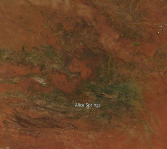
Take a look at that satellite image showing an unusual green blob in the Red Centre of Australia. That, right there, is grass. Beautiful green, green grass and other vegetation.
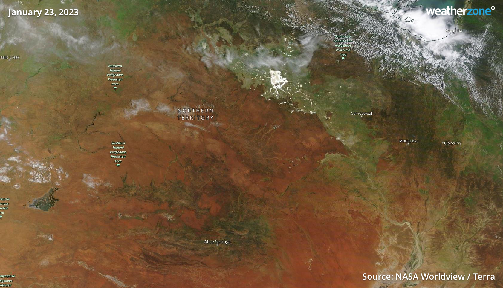
Now take a squiz at the same region about seven weeks earlier. See the difference?
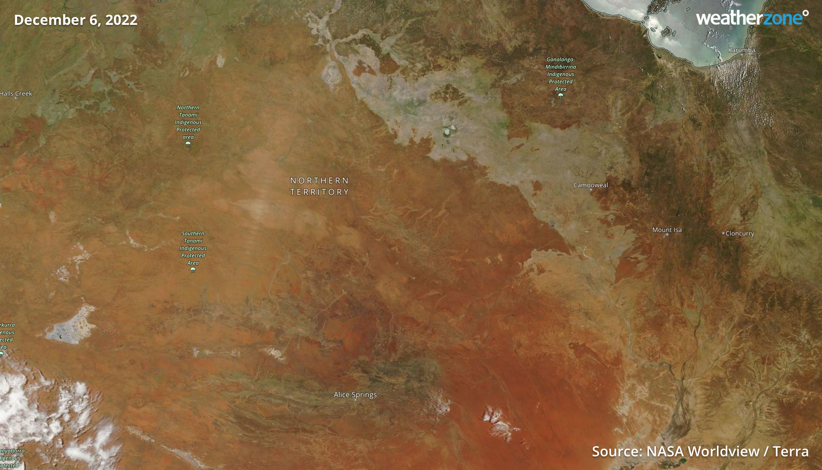
So why is the Red Centre so green?
Rain, obviously, and plenty of it. We told you back on January 9 that Alice Springs and Uluru had copped a drenching, with over 100 mm of rainfall at the Alice over two days – one of which was the wettest January day in 22 years.
That was a result of ex-Tropical Cyclone Ellie, which spent an unusually long amount of time wandering circuitously across outback regions after it had downgraded to a tropical low.
The path of Ellie is worth recreating in this story, as you can see how it lingered for several days in the Kimberley region delivering record rainfall and flooding there, before making a second visit to Central Australia.
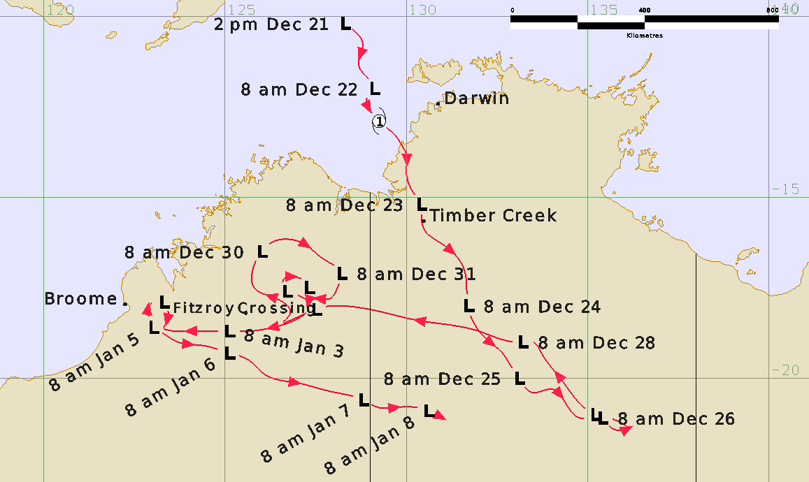
Image: Ex-TC Ellie just refused to quit. Source: BoM.
The green tinge in Central Australia is not just due to downpours during the last gasp of Ellie before it petered out on January 8, but also thanks to late December rain. Indeed Alice Springs saw rain on six of the last 11 days of 2022.
The flourishing desert landscape looks even more impressive in the enhanced image below. The images at the top of the story show the region pretty much as it would look with the naked eye from space. The one below uses false colours to highlight vegetation, with the green shading showing areas that have even the smallest hint of vegetation.
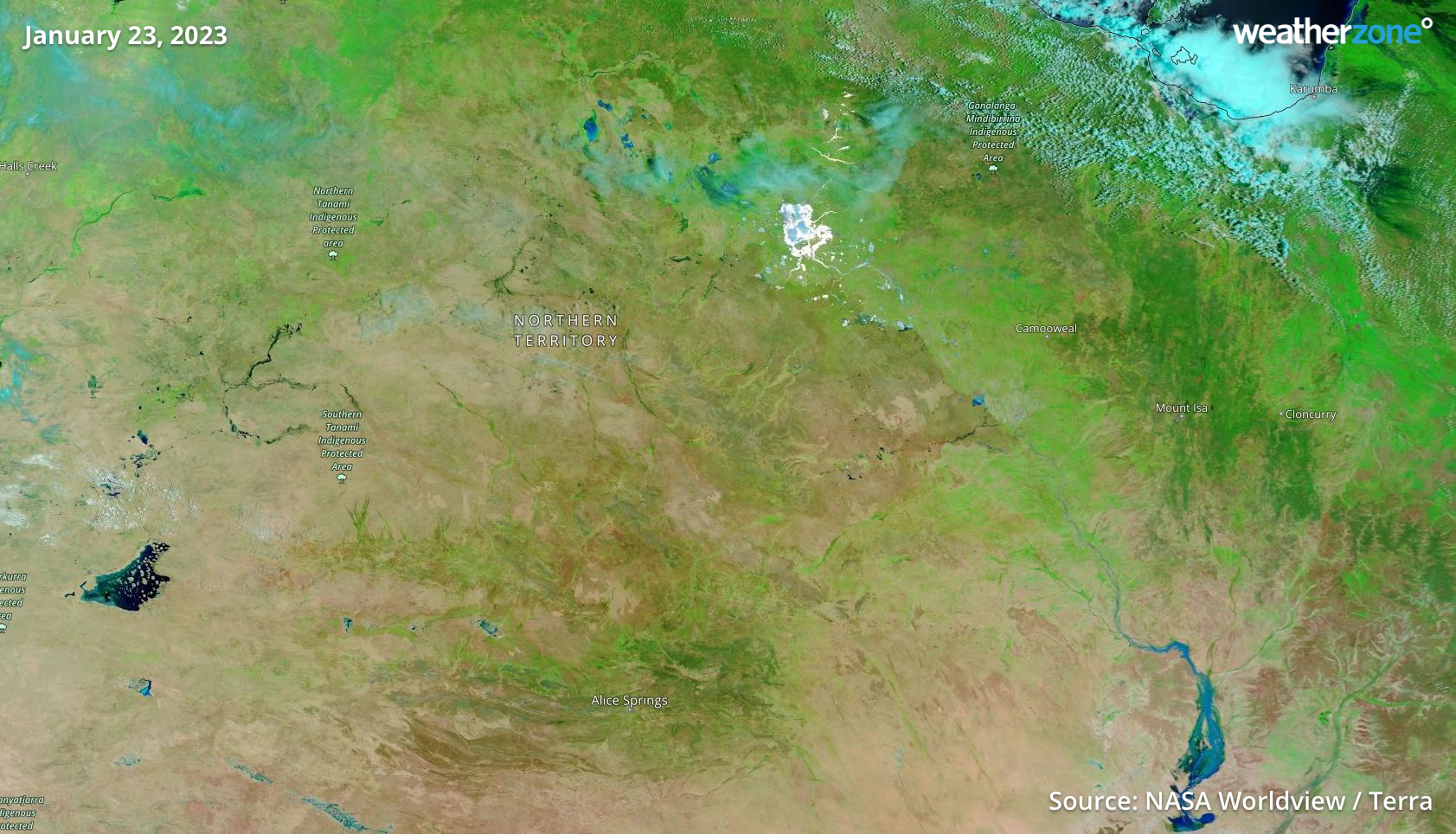
One more satellite image is worth sharing. This one from January 18 show innumerable little cloud dots in what’s technically called a “cumulus field”. We wrote about a similar situation in NSW in November, explaining that for clouds to form, you need heat and moisture – and the moisture source for these clouds is vegetation, through a process called “evapotranspiration”.
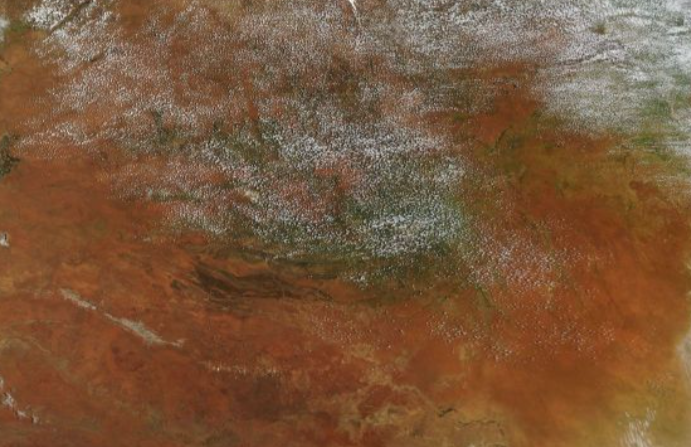
Image: Like a sprinkling of salt. Source: NASA Worldview.
Meanwhile Alice Springs is currently baking in a four-day run of temps around or just above 40°C for the rest of the working week (its average January max is 36.5°C). But more rain could fall over the region this weekend, as we wrote on Monday.
Don’t expect that green tinge to vanish any time soon.




