Australia saw its warmest sea surface temperatures on record in 2022, with an annual average sea surface temp that was 0.80°C above the long-term (1961 to 1990) average.
What’s remarkable about the 2022 sea surface temperatures (SSTs) is that:
- They were very much higher than average around almost the entire Australian coastline for the year as a whole.
- They were the highest on record across areas as geographically diverse and far apart as the waters off southwest Tasmania, to the Arafura and Coral Seas.
- Temps were high throughout the year. There weren’t just a few “spike” months that bolstered the overall average.
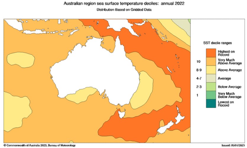
Image: Source: BoM.
Why so warm?
In the Bureau of Meteorology’s Annual Climate Statement 2022 which was released this week, it said that in addition to climate-change related background warming, the record ocean warmth was most likely related to several climate drivers, including:
- La Niña in the Pacific Ocean
- The negative Indian Ocean Dipole in the Indian Ocean
Both of these climate drivers tend to push warmer waters towards Australia.
What are the effects of such warm water?
Warmer waters obviously make it more pleasant to go for a dip in the sea in the southern half of Australia, but there is more than our comfort at stake here. Marine life can be affected, and there are also meteorological side-effects.
As the Bureau of Meteorology said in its Annual Climate Statement 2022:
“These warm waters around Australia also have an influence on our climate as they act as a source of moisture through evaporation, increasing humidity, cloudiness, and the chance of rainfall.”
The BoM went on to cite the example of the northwest cloudbands that drew tropical moisture far into the southern and eastern states of Australia in March 2022, giving Sydney and many other places their wettest March on record.
It just so happens that we here at Weatherzone mentioned another example in a story this very Thursday: namely the very heavy rainfall just south of Sydney, which was exacerbated by extremely warm waters off the NSW coast.
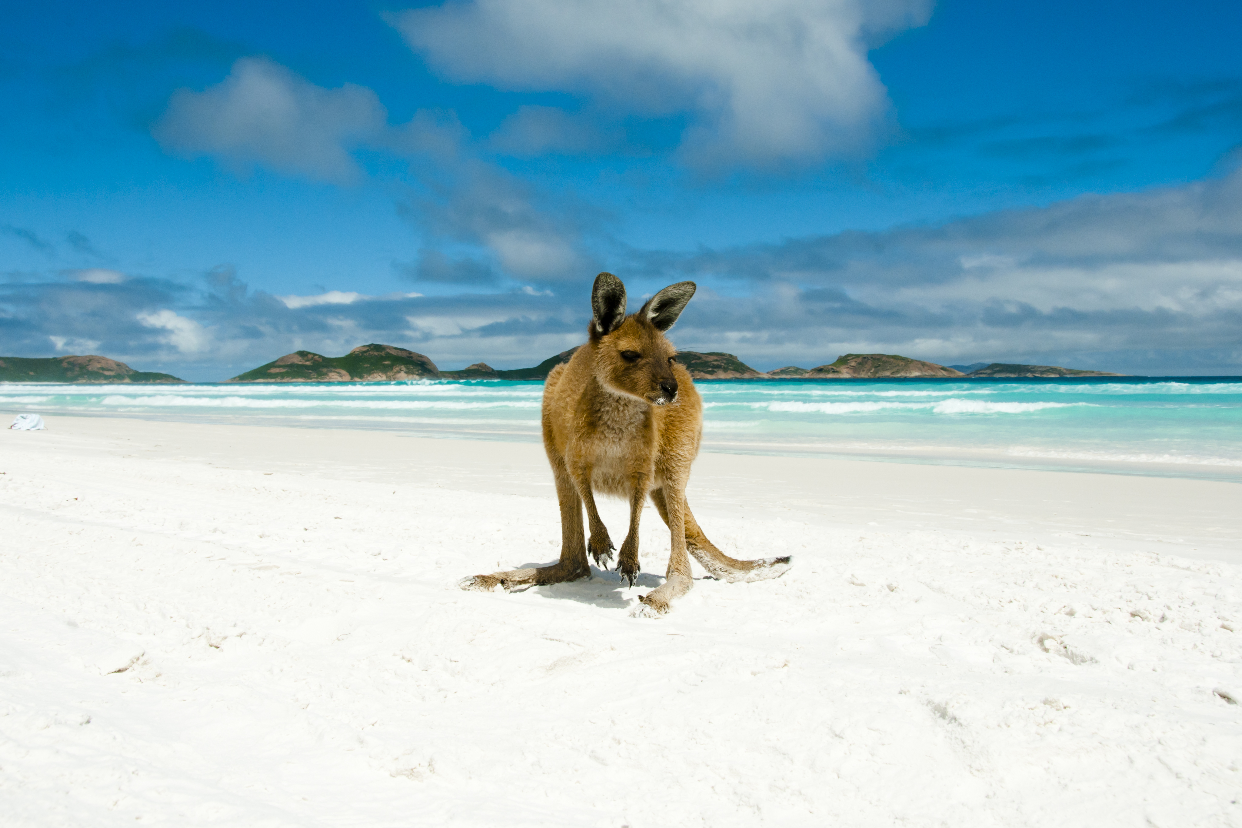
Image: Go on mate, you know you want to have a surf in those lovely warm waters. Source: iStock.
You can read the rest of the BoM’s Annual Climate Statement 2022 here. It also states that 2022 was the 22nd-warmest and 9th-wettest year on record.


