Severe thunderstorms will develop over Australia’s eastern inland on Tuesday, possibly affecting solar and wind farms across parts of the National Electricity Market (NEM).
A broad low pressure trough stretching more than 3000 km across northern and eastern Australia triggered thunderstorms between the Top End to Tasmania on Monday. Total Lightning Network detected 783,514 lightning pulses within a 600 km radius of Tibooburra on Monday.

Image: Composite satellite and lighting strike observations, showing thunderstorms occurring between the Top End and Tasmania on Monday afternoon.

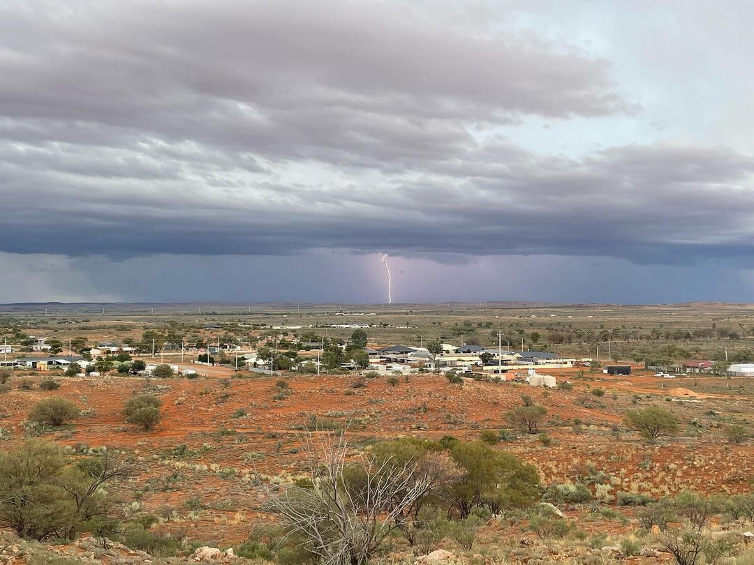
Image: One of Monday’s lightning strikes at Broken Hill, NSW. Source: @just_merce_ / Instagram
On Tuesday, this same low pressure trough will spark more showers and thunderstorms across parts of Vic, eastern SA, western NSW, western Qld and eastern and northern parts of the NT.
The map below shows the predicted accumulated rainfall on Tuesday from one computer model, which gives an indication of where the showers and storms will occur.

Image: Forecast accumulated rain on Tuesday, March 15, according to the ECMWF-HRES model.
Severe storms are possible across several states and territories on Tuesday, with heavy rainfall the most likely phenomena. In NSW and Qld, damaging winds are also a risk.
Rainfall totals on Tuesday will largely depend on where showers and storms develop. Some areas are likely to pick up more than 20 mm and other places nearby could see little, if any rain.
Drier weather will return to Australia’s eastern inland from Wednesday as a high pressure ridge develops across the region.
Impacts on renewable energy infrastructure
Severe thunderstorms and wind farms are a dangerous mix, so it is imperative that crews are aware of rapidly changing weather conditions to have sufficient time to get to safety. Lightning is a significant risk to personnel on the ground working in both wind and solar farms, which is why accurate and timely lightning detection and alerting are paramount.
Weatherzone owns and operates the Weatherzone Total Lightning Detection Network, one of the most advanced networks of its kind in the world. The capability to detect strike accuracies down to 100m, supports dangerous thunderstorm alerting, which is imperative to outdoor operations and infrastructure. The dangerous thunderstorm tracking and alerts are issued for severe storms when the total lightning network detects high rates of lightning. This indicates not just potentially dangerous thunderstorm activity but gust front winds, rain and occasionally damaging hail.
While safety is the highest priority, severe storms can also damage turbines and solar panels, with damaging wind gusts, large hail and bushfires of most concern. If there is adequate warning of an impending storm, wind farms can shut off or change the angle of the blades to prevent damage to the turbines. Wind farm operators can also access Weatherzone’s post event reporting tool, StormQuery, to understand the precise timing and magnitude of a lightning strike that may have damaged the turbine.
Solar farms not only can change the modules so they receive the most sun but they can also change the angle of the modules to prevent damage. Weatherzone provides solar and wind farms with forecasts and risk analysis which helps the farms plan operation and maintenance schedules up to a week in advance. For more information, please contact us at apac.sales@dtn.com.


