Prosper in a dynamic world
Search

Best start to Aussie hydropower season since 1968


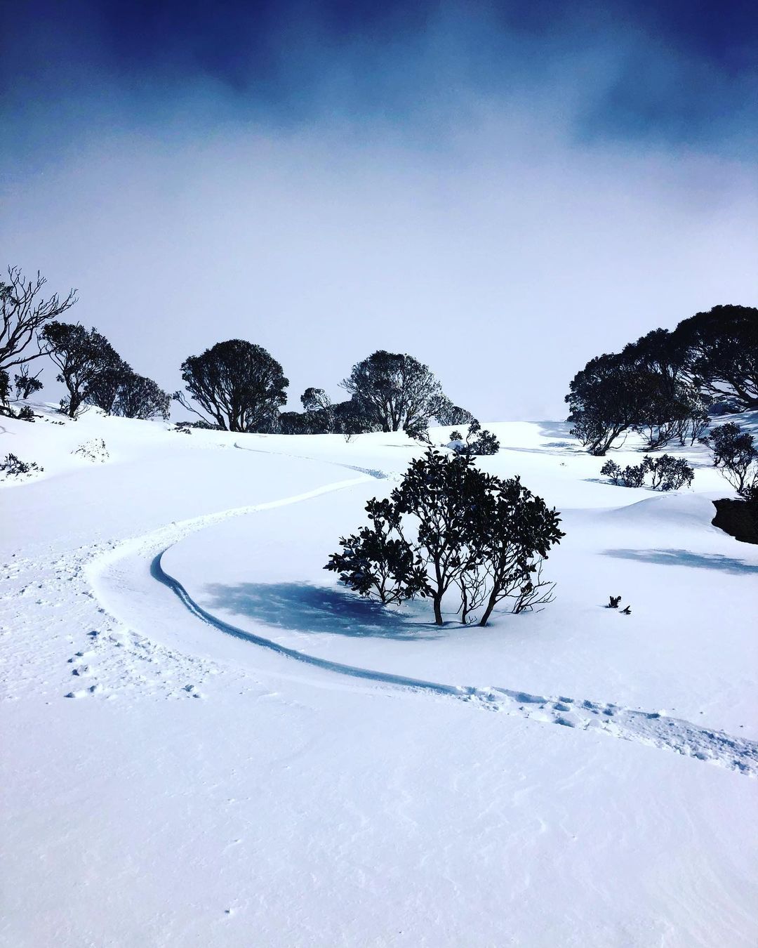
Australia’s Alps just had their best start to a snow season in 54 years , according to this year’s first official natural snow depth measurement at Spencers Creek in the NSW Snowy Mountains. This early season snow will provide a decent injection of water into the hydro lakes in NSW, VIC and TAS, increasing lake levels and supplying water for future hydropower generation.

 Snowy Hydro has been manually measuring the natural snow depth at Spencers Creek in NSW since 1954. This site, located at 1,830 metres above sea level between Perisher and Charlotte Pass, is widely regarded as Australia’s most reliable historical record of natural snow depths in the Aussie Alps. 

 So, how much snow is on the ground? 

 This week’s measurement was always going to be a big one, thanks to a procession of cold fronts that delivered multiple rounds of snow in late May and early June. 

 According to data published on Snowy Hydro’s website, the natural snow depth at Spencers Creek on Thursday, June 15 was 118.3 cm. This is the highest snow depth measured at the site this early in the season since 1968.  

 In 2021, this snow depth wasn’t reached until late-July, so we are currently running more than one month ahead of last winter based on the raw snow depth. 

 This week’s impressive snow depth reading is in line with other cold weather statistics that Weatherzone published earlier this week, including Canberra just enduring its coldest start to winter since 1964. 

Hydro operators can more accurately predict hydro plant output and manage water flows through accurate long-term catchment rainfall and snowfall forecasts. Rainfall forecasts from one hour to one year ahead are crucial for effective management of hydro assets. For more information, please contact us at apac.sales@dtn.com.

Latest news

Satisfy your weather obsession with these news headlines from around the nation, and the world.

How does DTN help businesses monitor bushfire induced pyrocumulonimbus thunderstorms that ignite more fires?

Intense heat from bushfires during elevated fire danger days can trigger fire-induced pyrocumulonimbus thunderstorms that ignite additional fires. In early January 2026, an extreme heatwave sweeping over southeastern Australia brought catastrophic fire danger to Victoria. Intensely hot bush and grass fires spread erratically and quickly in hot, dry and gusty winds, with pyrocumulonimbus generating lightning, […]

Active seas to the north and east of Australia disrupting port and maritime operations

Seas to the north and east of Australia are experiencing periods of increased activity this week, leading to disruptions to port, maritime and offshore operations. Intense and hazardous Tasman Sea Ocean conditions across NSW’s South Coast rapidly deteriorated last Friday as a deep feed of easterly winds whipped up large and dangerous seas. The Batemans […]

Transport, emergency and energy industries flooded across Greater Sydney with weekend deluges

Transport, emergency, energy and port industries in eastern NSW and Sydney were impacted by significant flash flooding with intense and heavy rainfall this weekend. Rainfall rates between 80 and 140mm in one to three hours were registered across parts of Sydney’s Northern Beaches and Central Coast on Saturday afternoon and evening. In some areas, these […]

DTN Dangerous Thunderstorm Alerts in action with severe thunderstorms disrupting Perth industries

Severe thunderstorms impacted southwest WA and the Perth region on Sunday, December 14, 2025, triggering Dangerous Thunderstorm Alerts (DTA) by DTN for industries and businesses in the region. DTN operates Dangerous Thunderstorm Alerts (DTA) which alert businesses and industries to thunderstorms based on intensity and movement. These alerts provide advanced notice of thunderstorms moving into […]