Prosper in a dynamic world
Search

Another hot week in Perth


This summer has been exceptionally hot in Perth and the final week of the season won’t be any different.

Perth is certainly no stranger to heat, with an average maximum temperature of 31 to 32ºC in January and February.

This summer, however, has seen a record-breaking number of very hot days in the city.

Sunday, February 20th, was Perth’s 31st day at or above 35ºC so far this summer. This is the equal highest number of 35ºC days on record for a single summer, matching the same feat in 1977/78.

There have also been 13 days at or above 40ºC this season, smashing the previous summer record of seven 40ºC days in the summer of 2015/16.

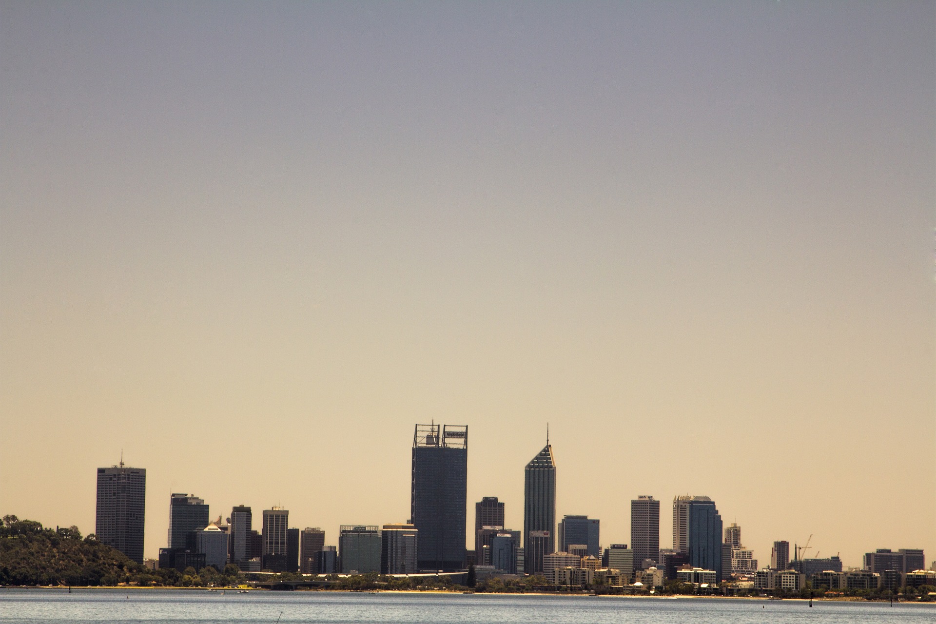
Image: One of this season’s many sunny days in Perth, this one from the middle of February. Source: @mpb_photos / Instagram

With more hot weather in the cards for Perth in the coming week, the final week of summer, some of these records are likely to be extended.

While another 40ºC day looks unlikely before the end of summer, there could be another one to four days above 35ºC this week. This means Perth could see anywhere between 32 to 35 days at or above 35ºC this summer, which will comfortably beat the previous record of 31 days.

Unsurprisingly, this hot summer has also been abnormally dry in Perth.

As of 9am on Monday, February 21, the city had only received 4.4mm since the start of December. This is well below the seasonal average of 42.6mm and the driest summer in eight years.

Unfortunately for parched parks and gardens across Perth, rain is unlikely during the final week of summer. For more information on Weatherzone’s seasonal extreme heat forecasting or 14 day temperature forecasts, please contact us at apac.sales@dtn.com.

Latest news

Satisfy your weather obsession with these news headlines from around the nation, and the world.

DTN Dangerous Thunderstorm Alerts in action with severe thunderstorms disrupting Perth industries

Severe thunderstorms impacted southwest WA and the Perth region on Sunday, December 14, 2025, triggering Dangerous Thunderstorm Alerts (DTA) by DTN for industries and businesses in the region. DTN operates Dangerous Thunderstorm Alerts (DTA) which alert businesses and industries to thunderstorms based on intensity and movement. These alerts provide advanced notice of thunderstorms moving into […]

How Australian East Coast port and maritime operations could be disrupted by tropical cyclones over the next two weeks

Port and maritime operations across Australia’s East Coast could be disrupted by increased tropical cyclone activity in the Coral Sea and southwest Pacific Ocean over the next two weeks. Meteorologists reference a large selection of Numerical Weather Prediction (NWP) models to forecast weather. A number of these NWP models are forecasting the development of tropical […]

Extreme fire danger and severe heatwave conditions spreading across SA, Victoria and NSW

Hot, dry and windy weather causing elevated fire danger and severe heatwave conditions are sweeping across southeastern Australia over the next three days, driving high energy demand and disruption to operations. Clear skies associated a large and slow-moving high pressure system have allowed hot air to build up over parts of northern, western and central […]

Heightened bushfire risk during the 2025-26 summer for WA, Victoria and NSW in latest AFAC Outlook

The Australian and New Zealand Council for fire and emergency services (AFAC) identified western and southern WA, Victoria and inland NSW as key regions that are at risk of heightened bushfire risk this summer. Parts of Australia have experienced severe soil moisture and rainfall deficiencies over the past months and years, while high fuel loads […]