
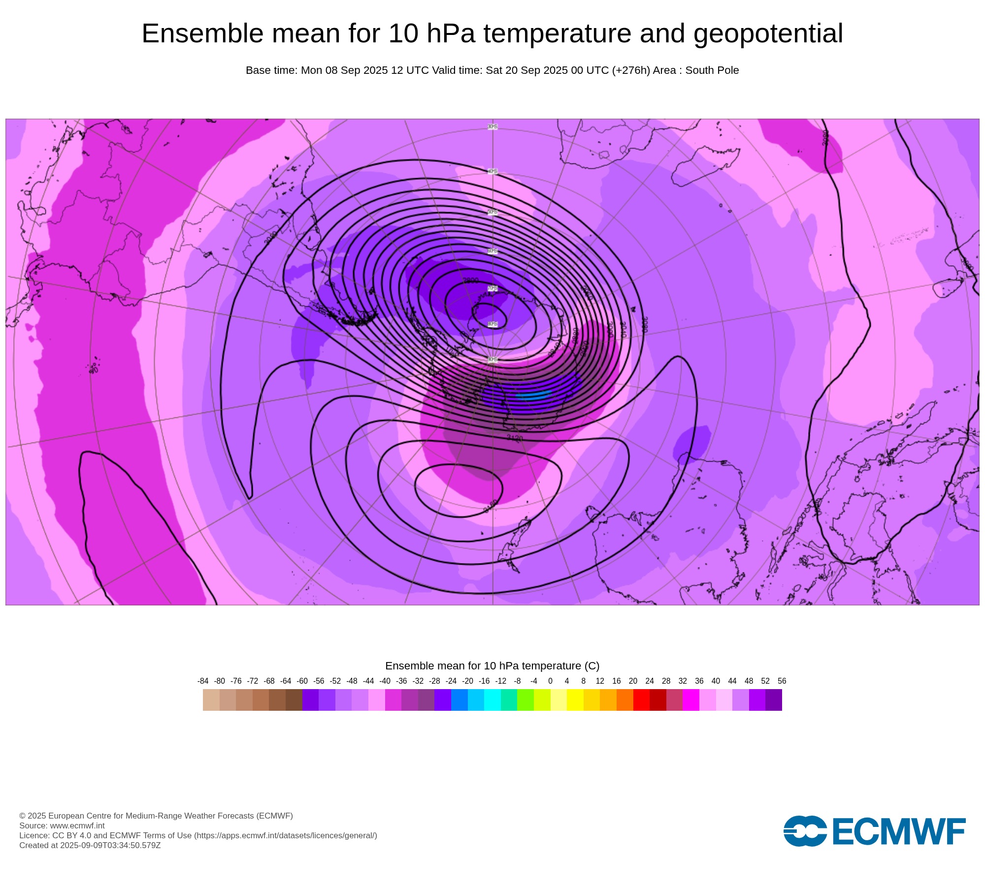
Stratospheric warming high above Antarctica could cause the Southern Hemisphere’s polar vortex to weaken at an unusually fast pace over the coming weeks. This weakened polar vortex has the potential to affect weather patterns across Australia and other parts of the Southern Hemisphere.
What is the polar vortex?
The polar vortex is a large circulating mass of cold air that sits above Earth’s polar regions in both the Northern and Southern Hemispheres. It extends from the ground right up to the stratosphere and its size, strength and shape can influence weather patterns across the planet.
While the polar vortex extends from the surface up to the stratosphere, it is typically separated into two distinct sections:
- The stratospheric polar vortex sits about 15 to 50 km above the surface. This portion of the polar vortex usually forms in autumn, reaches its peak strength during winter and then breaks down in spring.
- The tropospheric polar vortex refers to the lowest portion of the vortex, typically between the surface and about 10 to 15 km altitude. Unlike the stratospheric polar vortex, the tropospheric vortex is present throughout the year, although it too peaks in strength during the winter months.
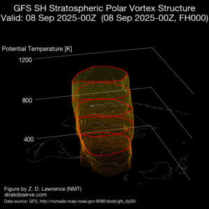
Image: A 3D representation of the Southern Hemisphere’s polar vortex on September 8, 2025. Source: stratobserve.com
Both sections of the polar vortex are connected, which means changes in the stratospheric vortex can propagate downwards and affect the behaviour of the tropospheric vortex below.
Why do we care about the polar vortex?
Meteorologists closely monitor the tropospheric polar vortex because it directly influences weather patterns across the planet. It does this by altering the position and shape of the polar jet stream, which affects the movement of weather systems in the planet’s mid-latitudes.
When the Southern Hemisphere’s tropospheric polar vortex is stronger than usual, cold air and powerful winds surrounding Antarctica typically contract towards the south. This causes cold fronts and low pressure systems located in the planet’s mid-latitudes to also shift southwards, which can reduce the frequency and strength of fronts and lows passing over Australia. This southward shift in westerly winds, cold fronts and low pressure systems is also referred to as a positive phase of the Southern Annular Mode (SAM).
By contrast, a weakened tropospheric polar vortex can allow cold air and powerful winds to spread further away from the polar region. This can cause cold fronts and low pressure systems to push further north and become stronger and more frequent over Australia. This northward shift of westerly winds, cold fronts and low pressure systems is also referred to as a negative phase of the SAM.
What is the polar vortex doing now?
The Southern Hemisphere’s polar vortex always weakens during spring as part of its normal seasonal cycle. However, the stratospheric polar vortex has started to weaken faster than usual over the past week due to abnormally warm air entering the polar stratosphere. Some forecast models suggest that further stratospheric warming could occur through the middle of September as well.
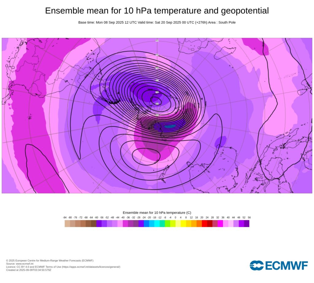
Image: Modelled 10hPa temperature and geopotential height at 00 UTC on September 20, 2025, showing a large area of relatively warm air (pink and blue shading) interacting with the stratospheric polar vortex. Source: ECMWF
Sudden warming in the polar stratosphere can have a flow-on effect that filters down through the atmosphere and causes the tropospheric vortex to weaken, typically in the days and weeks following the initial stratospheric warming.
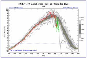
Image: Modelled zonal wind for the 10 hPa level of the atmosphere at 60°S latitude. The red line shows that winds associated with the stratospheric polar vortex have weakened to abnormally low speeds in the past week and further weakening is possible in the coming weeks (green lines). Source: NOAA
A stratospheric warming episode in July 2024 caused the tropospheric polar vortex to weaken in late July and early August. That event contributed to abnormally high temperatures over large areas of Australia, which resulted in the country’s warmest August on record.
It’s difficult to predict how each stratospheric warming episode will impact weather patterns closer to the ground. This is because stratospheric warming events in the Southern Hemisphere are rare, and no two events are the same. However, if the tropospheric polar vortex does weaken in the coming weeks, it will make the following weather patterns more likely in Australia during mid-to-late spring:
- Cold fronts and low pressure systems may become more active over southern Australia.
- This enhanced front and low activity may increase the potential for northwest cloudbands to develop over Australia.
- Rainfall would become more likely in southern Australia but less likely in eastern Australia.
- Early-season heatwaves and abnormally hot days will become an increased risk over southern Australia.
DTN APAC meteorologists will continue to keep a close eye on the polar vortex in the coming weeks.
How DTN APAC can help
The shifting climate is bringing increased complexity and greater risks to businesses worldwide. We are here for you, delivering trusted weather solutions to optimise your operations and profitability.
DTN APAC is a diverse team, with global forecasting, product development and analytics expertise. Couple this with extensive industry experience spanning Aviation to Energy, and we are primed to assist you in strengthening your response to weather impact.
We work hard to identify your operational pressures and tailor our services and products to meet your needs. Concise communication, giving you full situational awareness exactly when you need it, is our focus. We want to reduce weather risk in your operations, every day.
We deliver clear and comprehensive weather data that you can’t get anywhere else, personalised risk assessments and briefings to you and your team, so that your critical decisions can be made with confidence.
We are available 365 days a year, so you always have the timely guidance you require, especially when severe conditions hit.
You have our insights to rely on to see you through complex situations, minimising potential loss of profit and maximising the safety of your staff and assets.
Learn more about our large range of industry leading products and services or email us at sales.apac@dtn.com




