
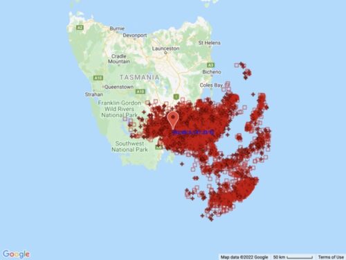
Dangerous rain and thunderstorms continue to lash parts of Tasmania this morning as a complex low pressure system drives a vigorous stream of moisture-laden air across the state. The developing low has already dumped more than 100mm of rain and produced wind gusts above 100 km/h in parts of southern Tasmania during the last […]
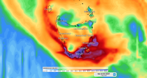
A dangerous mix of heavy rain and damaging winds will batter parts of Tasmania during the next few days, with flooding likely to develop in some river catchments. A pool of cold upper-level air passing over southeastern Australia this week will cause a low pressure system to deepen near Tasmania from today. The low is […]
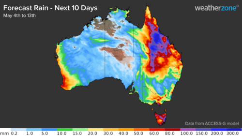
Widespread and heavy rain could spread over a large area of QLD next week, possibly challenging records in some parts of the state. Several forecast models are predicting a prolonged period of rain over QLD during the next 10 days, which will include several days of intense rainfall and flooding mid-to-late next week. The […]

The first proper snow of 2022 will fall across Australia’s alpine regions later this week. So, how much will fall and how low will it snow? A large pool of cold air from the Southern Ocean will surge across southern, central and south-eastern Australia during the next several days. This frigid air mass will […]
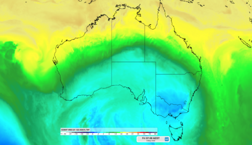
A blast of cold air will move over southern Australia this week causing a wintry mix of snow, hail, rain and blustery winds. A large mass of cold air originating from water near Antarctica is moving towards Australia from the south. The satellite image below shows this polar air mass over the Southern Ocean […]
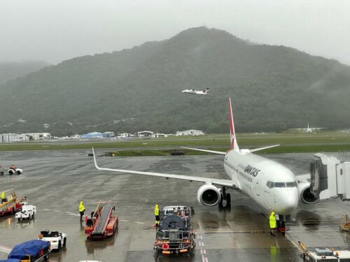
Late on Thursday afternoon, a dense fog crept over the NSW Southern Highlands neighbourhood of Weatherzone meteorologist Jess Miskelly. Or wait a second, was that just low cloud? That might sound like a meaningless distinction to many of you – a bit like arguing whether Anzac cookies and Anzac biscuits are different things, when […]
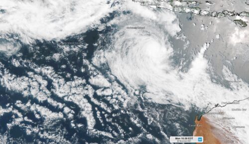
Australia has just had another quieter-than-average tropical cyclone season despite La Niña, which usually helps boost cyclone numbers in the region. Australia’s tropical cyclone season runs from start of November until the end of April. This season, there were nine tropical cyclones that formed in or moved through Australia’s area of responsibility, two of which made […]
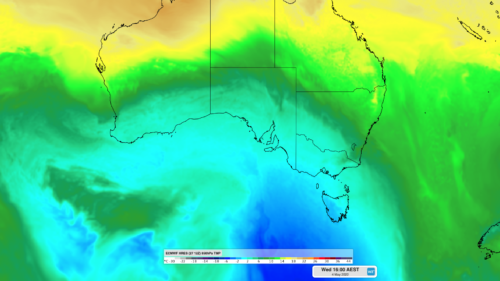
Two cold fronts are about to sweep across southern Australia, with the second front bringing a lengthy spell of wintry weather in the opening week of May. The satellite image below shows the sun rising over a cold air mass approaching southwestern Australia, indicated by the broad area of speckled cloud to the south of […]
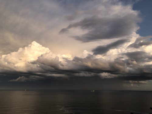
Australia could be about to feel the impacts of a negative Indian Ocean Dipole (IOD) for a second consecutive year, for the first time in more than 60 years of records. After three years of crippling drought between 2017 and 2019, Australia has been under the influence of wet-phase climate drivers in the both […]
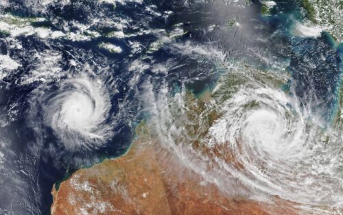
Australia’s tropical cyclone season is officially underway, but we may not see much activity for few months yet. The season runs from November to April, and for mining operators and businesses across northern Australia, 2026-27 is shaping up to be a season where the headline numbers and the real risk may not line up. On […]

A positive Indian Ocean Dipole is underway, but this one is unlikely to deliver the textbook dry spring and summer that businesses have come to expect from the pattern. The Bureau of Meteorology officially declared a positive IOD on Tuesday, October 27, which typically like El Niño can cause drier and warmer conditions over parts of […]
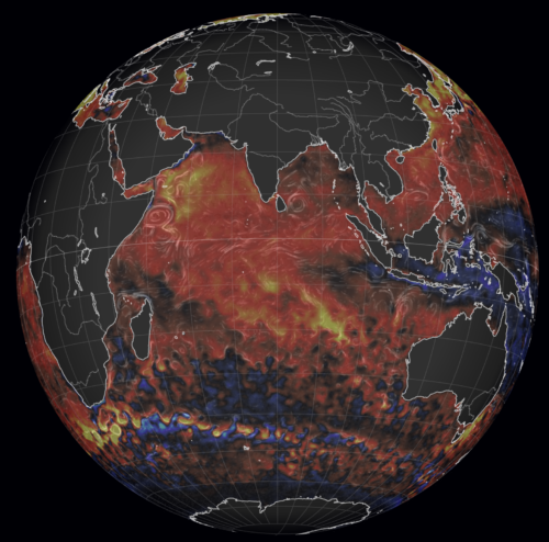
Waters off Indonesia have cooled in recent weeks, an indication that a positive Indian Ocean Dipole (IOD) event could be developing. It’s an important climate driver for Australia, and it could shape rainfall and temperatures heading into summer, with flow-on effects for farmers, energy and other industries. What is the Indian Ocean Dipole? The IOD […]

Leonora, WA, had its wettest September day on record earlier this month. Three weeks later, more than 1.3 million lightning pulses were detected within 800 km of the town in 48 hours. Why is a stalled trough delivering storms to mining country, and what it could mean for operations? The DTN Total Lightning Network detected […]