Prosper in a dynamic world
Search

Equatorial Rossby wave brings increased tropical cyclone risk to northern Australia

A pulse in a lesser-known tropical wave will bring increased risk of tropical cyclone activity over northern Australia in the coming week. What are tropical waves? Earth’s tropical atmosphere contains a number of large-scale waves that influence cloud and rainfall patterns throughout the year. The most well-known tropical wave is called the Madden-Julian Oscillation (MJO), […]

Why Queensland has been getting all the rain

Multiple flooding events have occurred in Queensland since the start of 2025, but why? Last month was Australia’s hottest and 4th-wettest March on record. Queensland was especially wet, registering its 3rd wettest March on record. This moisture combined with the very warm temperatures around the country to bring the warmest March minimum temperatures on record […]

How DTN’s Flood Risk System helps businesses across Queensland

A deep feed of moisture streaming from a monsoonal burst has brought widespread flooding to much of Queensland this week. Moisture started streaming over the north of Queensland last week. With a 301mm rain day last week, Townsville has now set monthly station records with: 1198mm in February (nearly four times the monthly average of […]

Tropical Cyclone Courtney has developed northwest of WA

Tropical Cyclone Courtney, currently a Category 1 system, developed in the early morning of Wednesday, March 26, marking the eighth tropical cyclone of the Australian season. Tropical Cyclone Courtney was slow to develop from a tropical low located south of Bali over the weekend, gradually tracking west-southwest over the past few days. Early on Wednesday, […]

Tropical cyclone potential increasing near Australia

Australia’s tropics will be invigorated by a pulse of the Madden-Julian Oscillation (MJO) this week, increasing the risk of tropical cyclone activity near Australia. A surge of monsoonal winds crossing the Maritime Continent will cause an injection of moisture-laden air into the tropics near Australia over the coming week. This monsoon burst will coincide with […]

How cold winds in Hong Kong spawn monsoonal rain and tropical cyclones around Australia

East Asia experienced significant drops in temperatures this weekend, which could lead to flooding rainfall over Indonesia and tropical cyclones in the Australian region. But how? After reaching maximum temperatures of about 25°C during the day, Hong Kong experienced a cool change on Saturday evening as a cool and dry northerly wind reached the territory. […]

Explainer: The Indian Monsoon

After months of intense heat, the Monsoon’s rains bring joy and prosperity to India, but its seasonal downpours can disrupt transport, mining, and energy industries. As the Northern Hemisphere summer comes around, the Indian interior heats up significantly, leading to an area of low pressure over India’s north. Moist winds from the Indian Ocean, to […]

Two cyclones swirling near Australia

Tropical Cyclone Alfred and Bianca formed near Australia on Sunday, with businesses across northern Australia on high alert. The video below shows Bianca over the Indian Ocean to the west of Australia and Alfred in the Coral Sea to the east of Qld.   Video: Himawari-9 infrared satellite image at 10am AEDT on Monday February […]

Businesses across northern AUS on alert with high risk of two cyclones

Two tropical cyclones could form in the Australian region by the start of next week, one in the Coral Sea and the other off the north coast of WA. Our team of meteorologists have been helping our clients assess the potential risks to their businesses in the coming week. It has been one week since […]

Latest news

Satisfy your weather obsession with these news headlines from around the nation, and the world.

Rapid El Niño signal accelerating risk for Australian businesses

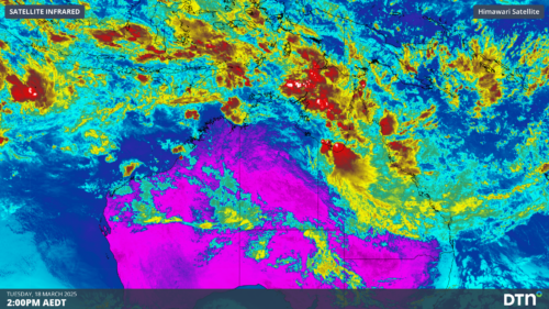
El Niño–favourable conditions are gathering pace across the tropical Pacific, with key ocean indicators approaching threshold levels and early atmospheric responses emerging.  While uncertainty remains around final El Niño strength, historical analogues show that even weak events can generate widespread impacts, including reduced rainfall, warmer daytime temperatures, increased frost risk, elevated fire danger, reduced tropical cyclone activity, and more. Industries including […]

Australia’s 2025–26 Cyclone Season: Slightly Above Average, Dominated by Severe Systems

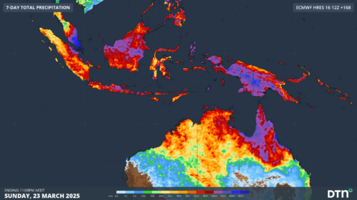
Australia has just experienced a highly impactful tropical cyclone season, with more than 60% of systems reaching severe intensity, causing widespread disruption and damage to communities and multiple industries across northern Australia.  The 2025–26 Australian tropical cyclone season officially ran from 1 November 2025 to 30 April 2026. During this six-month period, Australia saw 11 tropical cyclones, with nine […]

What does a ‘super El Niño’ mean for Australia’s businesses?

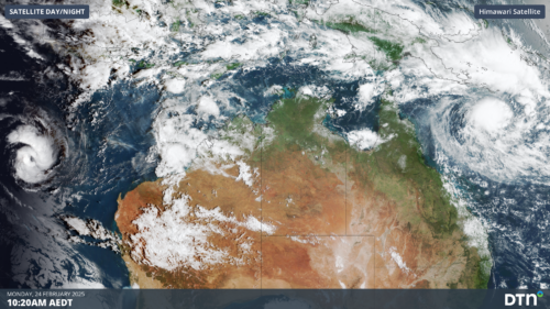
There are signs that a very strong, or ‘super’ El Niño could develop in the tropical Pacific Ocean later this year. So, what does this mean for Australia’s weather during the second half of 2026? El Niño on the horizon The tropical Pacific Ocean is currently in a neutral state, meaning neither El Niño nor […]

How does DTN help businesses monitor bushfire induced pyrocumulonimbus thunderstorms that ignite more fires?

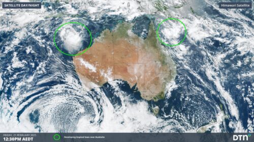
Intense heat from bushfires during elevated fire danger days can trigger fire-induced pyrocumulonimbus thunderstorms that ignite additional fires. In early January 2026, an extreme heatwave sweeping over southeastern Australia brought catastrophic fire danger to Victoria. Intensely hot bush and grass fires spread erratically and quickly in hot, dry and gusty winds, with pyrocumulonimbus generating lightning, […]