
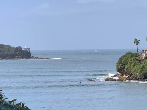
A powerful Tasman low will send damaging surf to NSW later this week, with waves expected to radiate into ports and harbours. A tropical disturbance (TD11F) currently being monitored by the Fiji Meteorological Service is located between New Caledonia and Vanuatu. This tropical low could briefly become Tropical Cyclone Tam as it tracks south towards […]
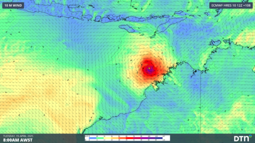
A tropical cyclone is likely to form off the north coast of WA in a matter of days, with signs that it could become a severe tropical cyclone next week. A tropical low is currently developing over the Timor Sea to the north of Darwin. The circulation centre of this developing low can be clearly […]
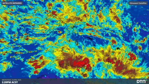
A pulse in a lesser-known tropical wave will bring increased risk of tropical cyclone activity over northern Australia in the coming week. What are tropical waves? Earth’s tropical atmosphere contains a number of large-scale waves that influence cloud and rainfall patterns throughout the year. The most well-known tropical wave is called the Madden-Julian Oscillation (MJO), […]
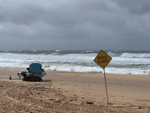
A powerful Tasman Low spinning off Australia’s East Coast is whipping up large waves along coastal NSW. A low pressure trough that slowly made its way from outback Queensland and over NSW over the past week, delivering widespread flooding, moved off the NSW coast this weekend. Very warm sea surface temperatures, along with support from […]
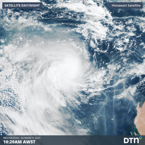
Tropical Cyclone Courtney, currently a Category 1 system, developed in the early morning of Wednesday, March 26, marking the eighth tropical cyclone of the Australian season. Tropical Cyclone Courtney was slow to develop from a tropical low located south of Bali over the weekend, gradually tracking west-southwest over the past few days. Early on Wednesday, […]

A series of very long period swells will bring deceptively powerful waves to NSW ports. Image: Satellite loop of powerful lows well to the south of Australia on Monday, March 17. A very active period with powerful low pressure systems crossing well to the south of Australia over the past weekend and early week have […]
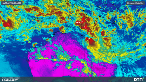
Australia’s tropics will be invigorated by a pulse of the Madden-Julian Oscillation (MJO) this week, increasing the risk of tropical cyclone activity near Australia. A surge of monsoonal winds crossing the Maritime Continent will cause an injection of moisture-laden air into the tropics near Australia over the coming week. This monsoon burst will coincide with […]
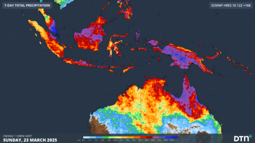
East Asia experienced significant drops in temperatures this weekend, which could lead to flooding rainfall over Indonesia and tropical cyclones in the Australian region. But how? After reaching maximum temperatures of about 25°C during the day, Hong Kong experienced a cool change on Saturday evening as a cool and dry northerly wind reached the territory. […]

Ports across NSW and Qld are on high alert as Tropical Cyclone Alfred is set to produce damaging winds, large and powerful surf and coastal erosion in the coming days. Tropical Cyclone Alfred is currently sitting around 600km off Brisbane and is travelling southeast but is expected to make a right turn towards southeast Qld later […]

Australia’s tropical cyclone season is officially underway, but we may not see much activity for few months yet. The season runs from November to April, and for mining operators and businesses across northern Australia, 2026-27 is shaping up to be a season where the headline numbers and the real risk may not line up. On […]

A positive Indian Ocean Dipole is underway, but this one is unlikely to deliver the textbook dry spring and summer that businesses have come to expect from the pattern. The Bureau of Meteorology officially declared a positive IOD on Tuesday, October 27, which typically like El Niño can cause drier and warmer conditions over parts of […]

Waters off Indonesia have cooled in recent weeks, an indication that a positive Indian Ocean Dipole (IOD) event could be developing. It’s an important climate driver for Australia, and it could shape rainfall and temperatures heading into summer, with flow-on effects for farmers, energy and other industries. What is the Indian Ocean Dipole? The IOD […]

Leonora, WA, had its wettest September day on record earlier this month. Three weeks later, more than 1.3 million lightning pulses were detected within 800 km of the town in 48 hours. Why is a stalled trough delivering storms to mining country, and what it could mean for operations? The DTN Total Lightning Network detected […]
