




Prosper in a dynamic world
Search

Thunderstorms and flooding to hit WA

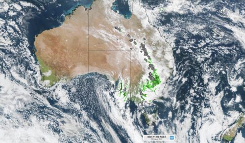
  Heavy rain, thunderstorms and flooding could impact parts of northwestern WA during the next 48 hours as moisture-laden air travels towards WA from the Indian Ocean.  The satellite image below shows thick cloud streaming across western WA on...

Warmer than usual winter in all states and territories

  Winter in Australia was warmer than usual across Australia, with all states and territories recording a mean temperature above the historical average.* Here’s a rundown of mean winter temperatures across the country, as compared to the historical average....

Spring 2022 outlook

  Tomorrow marks the first day of spring, a season which typically brings a mix of dynamic weather across Australia. But what will spring be like this year across the country?   When predicting how this spring will unfold,...

Sydney’s fastest 2000 mm amid record-wet start to 2022

  Sydney just experienced its wettest January to August period in 164 years of records, with the city also obliterating a long-standing record for the shortest time to amass two metres rainfall in a single year. The weather station...

Heaviest August rain in over a century hits outback QLD

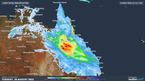
  A rare late-winter soaking has swept across outback QLD during the last 24 hours, with some places picking up their heaviest August rain in more than 100 years. The animation below shows rain, thunderstorms and thick cloud spreading...

Hobart hits rare winter 21ºC as storms brew over Tassie

  Tasmania is having a spring-like day, with Hobart hitting 21ºC and thunderstorms building over the state.  Northerly winds are carrying warm and relatively humid air over Tasmania today ahead of an approaching cold front.  Amid this pre-frontal northerly...

3000 km of thunderstorms hitting Australia today

  A late-winter thunderstorm outbreak is unfolding across eastern and southeastern Australia today, with severe thunderstorms likely in several states. As the sun rose on Monday morning, thunderstorms were stretching from the eastern inland of the NT down to...

Tropical cyclones becoming less frequent near Australia

  New data has revealed that tropical cyclone numbers have been declining in the Australian region in recent decades, including both severe and non-severe tropical cyclones.  The Bureau of Meteorology’s tropical cyclone database has reliable historical records of every...

Solar power on the rise

  The warm and sunny months of the year are fast approaching, with the potential for solar generation to increase in the coming months.  As we near spring, the days are slowly becoming longer and warmer as we approach the spring...

Latest news

Satisfy your weather obsession with these news headlines from around the nation, and the world.

Australia’s 2026-27 Tropical Cyclone Season: Late Start, Real Risk

Australia’s tropical cyclone season is officially underway, but we may not see much activity for few months yet.  The season runs from November to April, and for mining operators and businesses across northern Australia, 2026-27 is shaping up to be a season where the headline numbers and the real risk may not line up.  On […]

Positive IOD declared: Not a typical dry signal for Australia

A positive Indian Ocean Dipole is underway, but this one is unlikely to deliver the textbook dry spring and summer that businesses have come to expect from the pattern.  The Bureau of Meteorology officially declared a positive IOD on Tuesday, October 27, which typically like El Niño can cause drier and warmer conditions over parts of […]

Signs of a positive Indian Ocean Dipole, but it may not follow the textbook

Waters off Indonesia have cooled in recent weeks, an indication that a positive Indian Ocean Dipole (IOD) event could be developing. It’s an important climate driver for Australia, and it could shape rainfall and temperatures heading into summer, with flow-on effects for farmers, energy and other industries.  What is the Indian Ocean Dipole?  The IOD […]

1.3 million lightning strikes and a record September downpour: the storms testing WA’s Goldfields

Leonora, WA, had its wettest September day on record earlier this month. Three weeks later, more than 1.3 million lightning pulses were detected within 800 km of the town in 48 hours. Why is a stalled trough delivering storms to mining country, and what it could mean for operations?  The DTN Total Lightning Network detected […]
