
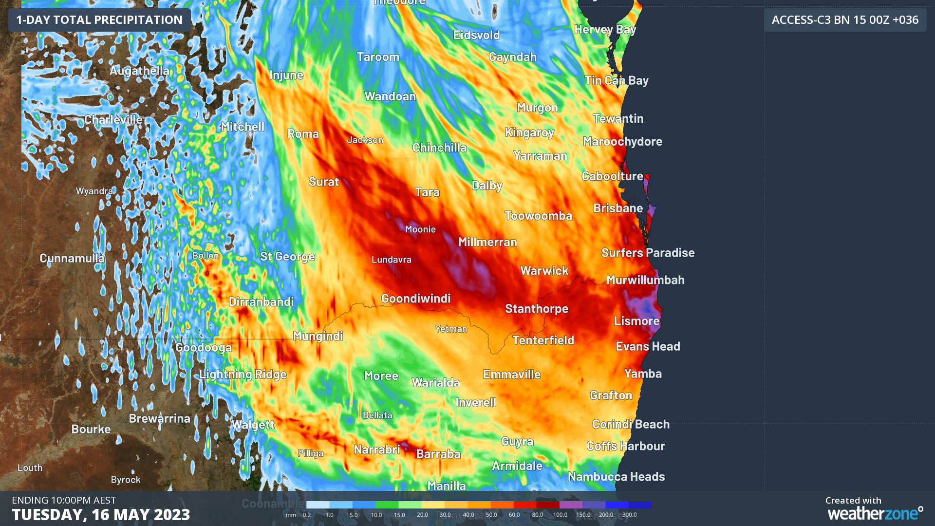
Heavy rain will soak parts of southeast Queensland and northeast New South Wales on Monday night into Tuesday morning, with some places at risk of flooding.
An upper-level trough passing over southern Qld on Monday will allow a surface trough to deepen across the southeast of the state. This deepening trough will tap into moisture-laden air already sitting over southeast Qld, and additional moisture flowing in from the east, resulting in widespread and locally heavy rain between Monday afternoon and Tuesday morning.
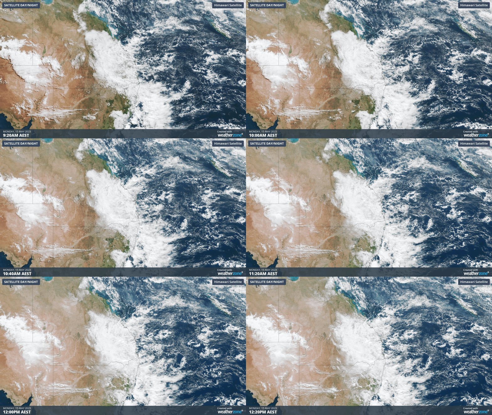
Video: Visible satellite images showing widespread cloud over southeast Qld on Monday morning.
The map below shows how much rain is being predicted by one high-resolution computer model during the 36 hours ending at 4pm AEST on Tuesday. Most of this rain will fall between early Monday evening and dawn on Tuesday.
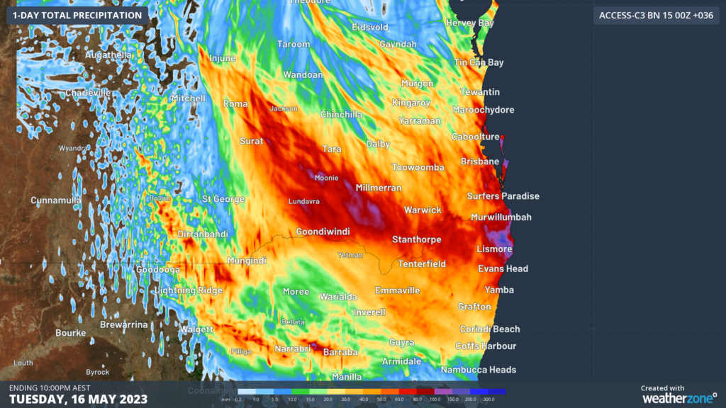
Image: Forecast accumulated rain during the 36 hours ending at 4pm AEST on Tuesday, May 16, 2023, according to the ACCESS-C model.
This brief burst of wet weather will affect parts of Qld’s Darling Downs, South East Coast and Wide Bay and Burnett Districts, and some eastern areas of the Maranoa and Warrego District. While most of these areas will see accumulated rainfall totals in the order of 10 to 40 mm, some places may pick up 60-120mm by late Tuesday morning. Similar falls are also expected over the NSW Northern Rivers districts.
This burst of rain may cause localised areas of flooding, particularly in areas that saw rain on Sunday and Monday morning. One area to watch will be the Sunshine Coast region, where some rain gauges collected 50 to 70 mm of rain during the 24 hours to 9am on Monday.
While no flood watches or warnings were in place at the time of writing this article, you can check the latest warnings here.
DTN APAC’s meteorologists can provide special, short-notice weather briefings when severe weather is expected for your business, explaining what will happen and its impact on you business. To find out more, please email us at apac.sales@dtn.com.




