New Year’s Eve is looking pretty good across most of Australia, but how likely are showers and strong winds where you live?
Overall, the introduction into 2023 will be fairly typical of an Australian summer night.
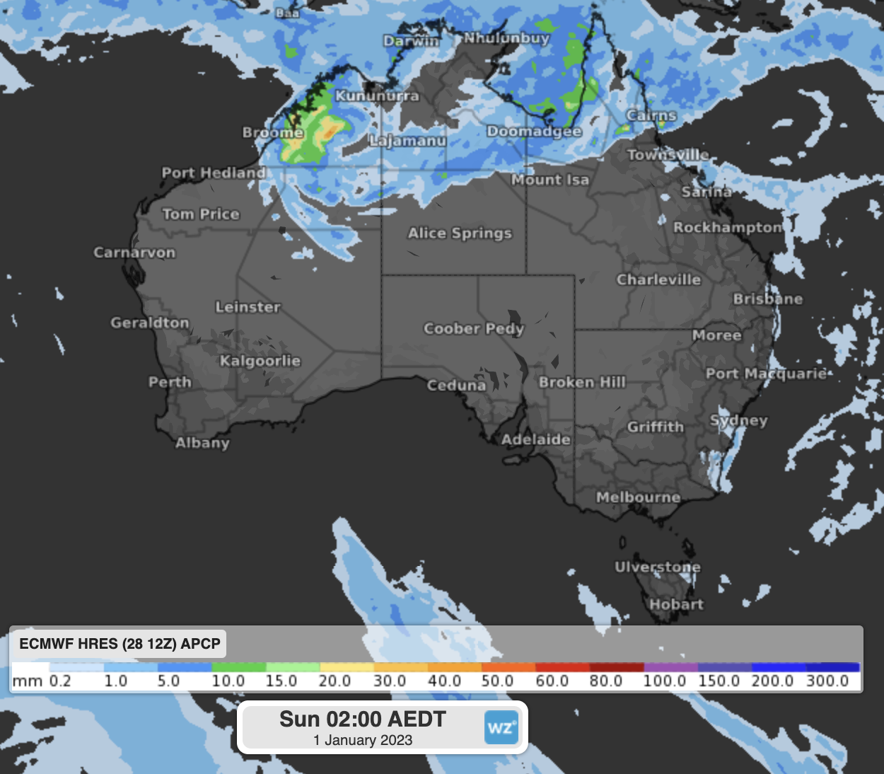
Image: 3-hour rainfall forecast over midnight on New Year’s Eve.
The monsoon will still be active over northern Australia, so natures fireworks with thunderstorms will have to suffice for many from Exmouth to the Red Centre and up to Townsville. Some isolated showers are on the cards for the east coast from Bundaberg down to Hobart earlier in the evening, but most will dry up by midnight.
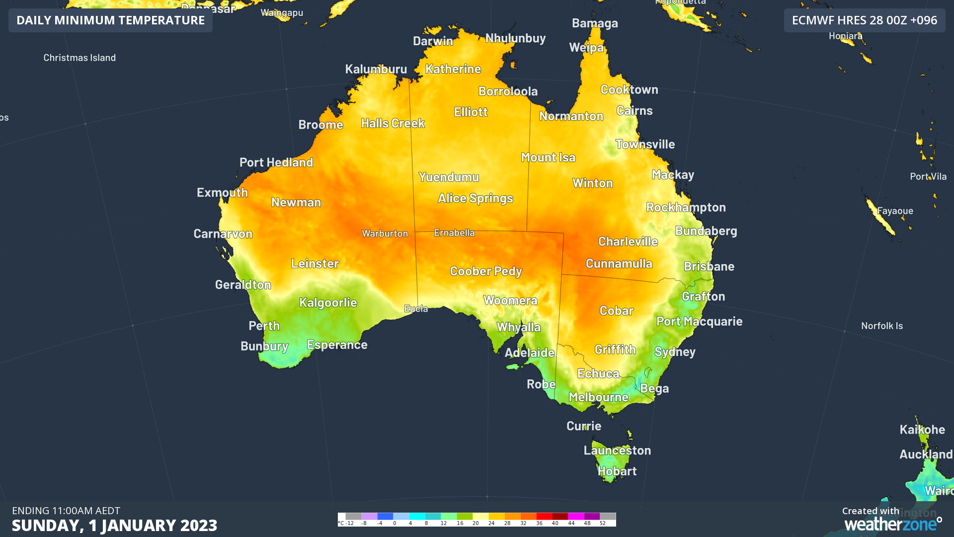
In the south, low-intensity heatwave conditions will stretch through western Queensland, western NSW, central Victoria, and most of Tasmania. While New Year’s Day will be a warm one, midnight will be mostly clear and dry.
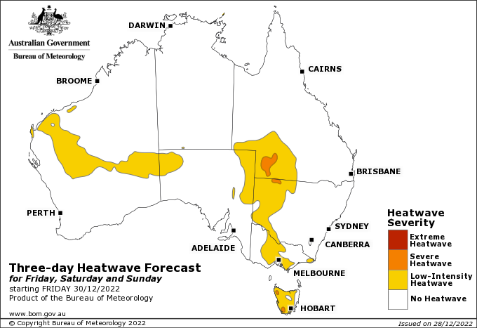
Image: BoM Heatwave forecast for Friday 30th to Sunday 1st
In the southwest of WA, some high cloud will be crossing but not anything to spoil the fun. The only consideration there will be the strong seabreeze, that could change some fireworks plans along the coastal fringe.
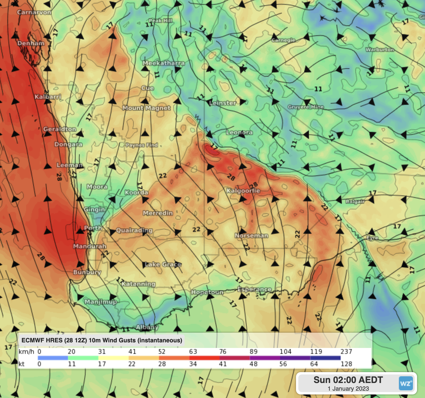
Image: Wind gusts at 11pm WST on NYE showing gusts of 40-60km/h just off the west coast
Here are how the capitals are looking at midnight:
| Darwin: | Windy. High chance of showers and thunderstorms. 27°C |
| Brisbane: | Partly cloudy. Slight chance of a shower. 22°C |
| Sydney: | Partly cloudy. Slight chance of a shower. 21°C |
| Canberra: | Mostly cloudy. Moderate chance of a shower. 18°C |
| Melbourne: | Dry and clear. 22°C |
| Hobart: | Dry and mostly clear. 19°C |
| Adelaide: | Dry and clear. 20°C |
| Perth: | Dry and mostly cloudy. Windy near the coast. 19°C |
Whatever your New Year’s plans are, we hope you all have a great 2023 from all of us at Weatherzone.


