August was a record-breaking month for wind power in the National Electricity Market, with Australia’s renewable energy sector continuing to grow at rapid pace.
August was a windy month with frequent cold fronts and low-pressure systems sweeping across southeastern Australia.
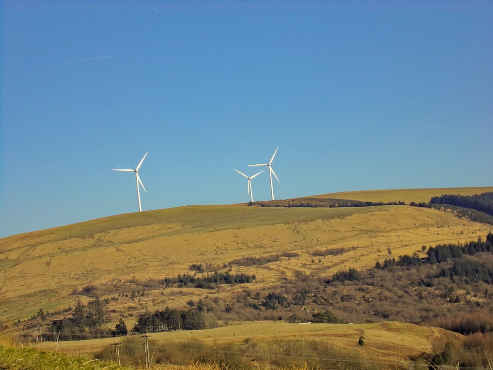
This abundance of wind created an ideal month for wind power generation in the National Electricity Market (NEM).
Wind power had a record-breaking month in the NEM in August, with 2,752 GWh of generation beating the previous monthly record of 2,574 GWh set in June 2022. The last three months have all been in the top four most productive months on record for wind power in the NEM.

The graph above shows that monthly wind power generation has been increasing at a steady rate since 2007, driven by a boom in wind farm installations across Australia.
The windiest day in August 2022 was on Thursday, August 4, when wind power contributed 14.6 GWh to the grid, which was around 25% of demand that day.

August 4 also set a new record for instantaneous wind production in the NEM, with contribution to the grid peaking at nearly 30% of total demand. The new record was set at 8:40pm pm Thursday, August 4, when 7,305 GWh was being contributed to the grid.
The satellite image below shows a complex low-pressure system sitting in the Great Australian Bight on August 4, extending a series of cold fronts and troughs over southeastern Australia. .

Image: Enhanced visible/infrared satellite image showing a northwest cloudband over southeastern Australia at 2pm AEST on Thursday, August 4
The series of systems moving over southeastern Australia kept winds strong all day, producing a day of record-breaking wind power.
How DTN APAC forecasts wind energy and its power.
DTN APAC, a DTN company, offers wind and power generation forecasting to assist in determining your wind farm’s output, reducing costly errors.
Whether you have an existing windfarm, or looking for an optimal wind farm location, we provide crucial data to give you greater awareness of your generation capacity. From vertical wind profiling, to identifying alternative scenarios and RAMP events, we have you covered. We can assist with:
Rapid Update Forecasting– 5-minute forecasting up to 72 hours and hourly forecasting out to 10 days for full awareness.
RAMP Event Prediction- Understand when significant generation impacts will occur so you can mitigate risk.
Advanced Generation Forecasting-Multi-level wind profiles, meta-data management and input data QC ensures precision.
We work closely with you, pushing the boundaries of science and technology, to identify and fulfil your individual business needs. A tailored and consolidated solution, making your everyday more effective. For more information, please contact us at apac.sales@dtn.com.


