Prosper in a dynamic world
Search

Brisbane’s coldest July in over 30 years


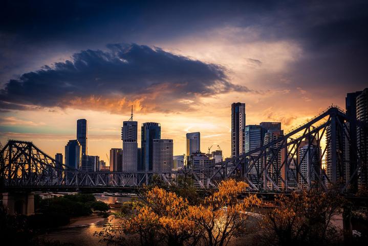
Brisbane is on track to register its coldest July in more than 30 years based on daytime temperatures, as southern QLD braces for another cold snap in the coming days.

Southeast QLD has been unusually cold this month thanks to frequent burst of cold air travelling up from the Southern Ocean, and a few days of thick clouds and persistent rain.

Brisbane’s two coldest days of this month were July 4th and 5th, which only reached 14.2ºC and 14.0ºC respectively. These maximum temperatures were well below the city’s long-term average of 22ºC and were its coldest pair of days since 1956.

As of 5pm on July 26, only five days of this month had exceeded the city’s long-term July average of 22ºC.

Based on the observed temperatures up to 5pm on July 26 and the forecasts for the rest of the month, Brisbane is on track to have a monthly average maximum temperature of around 19.9ºC. This would be Brisbane’s coolest July since at least 1989 based on daytime temperatures.

The rest of this week will also be noticeably cold over a broad area of southern and central QLD as a cold air mass spreads across the state from the south.

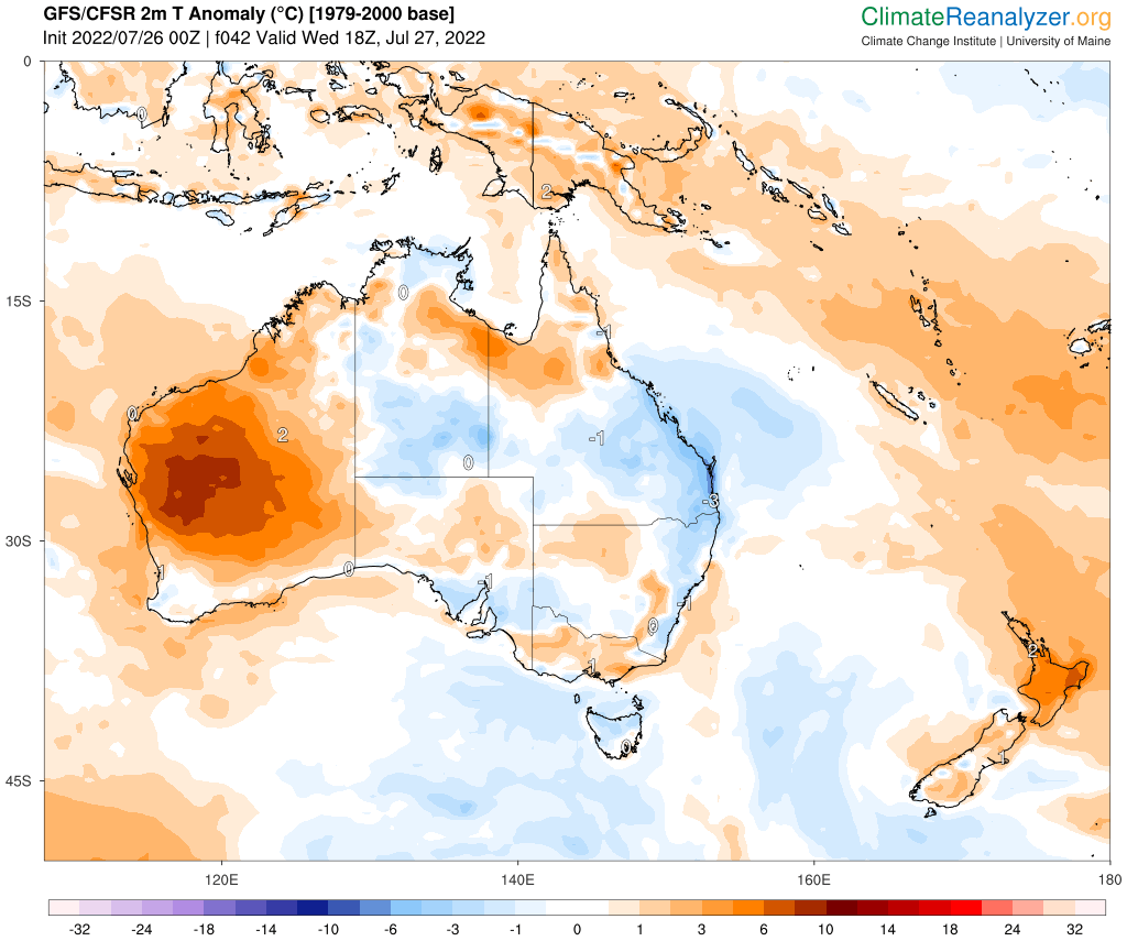
Image: Predicted surface air temperature anomaly on Thursday morning, according to the GFS model. Source: ClimateReanalyzer.org

The combination of this cold air with clear skies and light winds will allow morning frost to develop over parts of southern inland QLD from Wednesday to Saturday. During this cold snap, temperatures in Stanthorpe could dip to around -1ºC to -2ºC for four to five mornings in a row. For more information, please contact us at apac.sales@dtn.com.

Latest news

Satisfy your weather obsession with these news headlines from around the nation, and the world.

Lightning Tracker WA: Real-Time Tracker for Western Australia | Radar, Alerts & Weather Map

Lightning tracker WA technology by DTN APAC helps industries across Western Australia stay one step ahead of severe weather events. From mining to aviation, we deliver precision insights through real-time lightning detection tools. Visualise strikes, monitor thunderstorms, and respond faster with radar and satellite intelligence tailored to the region’s unique weather risks. Track Lightning Strikes […]

Why have NSW businesses flooded and when will the rain stop?

An unprecedented May deluge has impacted businesses across eastern NSW this week, with some rain gauges eclipsing their previous monthly records in the space of just three days. So why is eastern NSW seeing so much rain this week? In an average May, the NSW Mid North Coast and Hunter regions would see about 50 […]

Historic flooding as eastern NSW deluge continues

Flood records are being broken in parts of eastern NSW this week as relentless rainfall continues to dump water into already overflowing rivers and creeks, affecting businesses and industries through road and transport closures and disruptions due to flooding. A steady stream of moisture-laden onshore winds has been causing persistent rain over eastern NSW since […]

Indian monsoon onset on the doorstep

Heavy rainfall and squally thunderstorms will intensify over southern India with the arrival of the southwest Indian monsoon this week. The Indian Meteorological Department (IMD) is responsible for tracking the advance of the monsoon over the Indian sub-continent. The latest map issued by the IMD shows the northern limit of the southwest monsoon just to […]