Prosper in a dynamic world
Search

Australia’s 2021/22 tropical cyclone season is here

November 2nd 2021

MicrosoftTeams-image (92)

Monday, November 1st, marked the start of Australia’s 2021/22 tropical cyclone season, which will run for the next six months until the end of April.

As we pointed out last week, Australia can expect a near to slightly above average number of tropical cyclones this season, which means about 12 to 13 instead of the usual 9 to 11.

This above-average cyclone outlook is being driven by abnormally warm waters near northern Australia, a decaying negative Indian Ocean Dipole (IOD) and a developing La Niña in the Pacific Ocean.

MicrosoftTeams-image (94)

Image: Observed sea surface temperature anomalies on October 30th, showing abnormally warm water near northern Australia and a distnictive La Niña-like pattern in the Pacific Ocean. Source: NOAA

While there aren’t any sings of tropical cyclone development near Australia in the next week, the current setup does raise the likelihood of early-season cyclone development.

Both La Niña and a negative IOD typically cause the season’s first tropical cyclone to develop around three weeks earlier than average, which statistically means mid-November instead of early December.

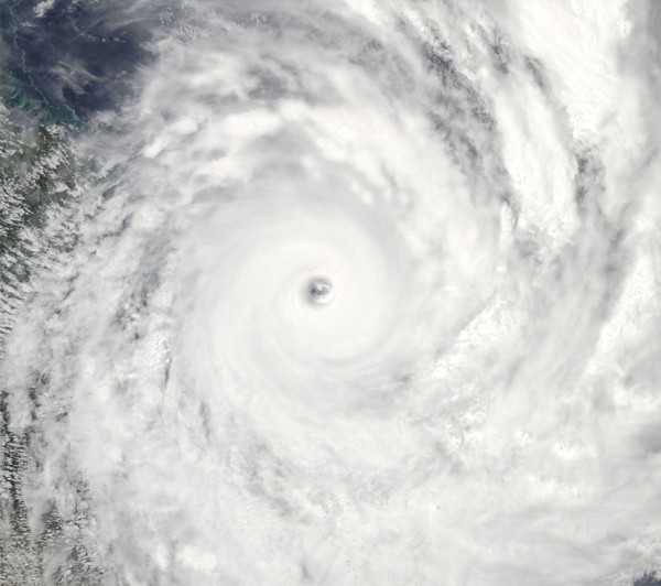
Regardless of when it develops, the first tropical cyclone to form in Australian waters this season will be named Paddy.

MicrosoftTeams-image (95)

The Bureau of Meteorology maintains a list of names that it assigns to tropical cyclones that develop in Australia’s area of responsibility. This list runs alphabetically and alternates between male and female.

Weatherzone will bring you regular updates on tropical cyclone activity in the Australian region during the next six months.

If you have any questions or would like more information on Weatherzone’s forecasting services, please contact us at apac.sales@dtn.com.

Latest news

Satisfy your weather obsession with these news headlines from around the nation, and the world.

High tropical cyclone risk near northern Australia this week

A tropical low currently developing over the Timor Sea has a high chance of becoming a tropical cyclone later this week, with a possibility of landfall somewhere in the Northern Territory or Western Australia. Key industries could be impacted including Ports, Mining, Transport, and Agriculture. The satellite images below show cloud circulating around the developing […]

Madden-Julian Oscillation increasing tropical cyclone potential for northern Australia industries

Sea surface temperatures exceeding 31°C off the coast of northern Australia and an active phase of the Madden-Julian Oscillation (MJO) are increasing the likelihood of early-season tropical cyclone activity, with hints of the season’s first tropical cyclone coming as early as next week. Tropical cyclones require sea surface temperature of 26.5°C or warmer to develop, […]

Tropical cyclone season begins with warm oceans surrounding northern Australia

The 2025-26 tropical cyclone season has begun with abnormally warm oceans surrounding northern Australia, signalling an increased risk for severe tropical cyclones in the coming months. The Australian tropical cyclone season runs from November 1 to April 30. During this six-month period, there are usually about 9 to 10 tropical cyclones in the Australian region, […]

7.8 million lightning pulses detected by DTN’s Total Lightning Network over Australia in one week

A barrage of thunderstorms battered large areas of eastern and northern Australia over the past week, producing close to 8 million lightning pulses across the country and more than 4 million over Queensland alone. DTN’s Total Lightning Network (TLN) detected around 7.79 million lightning pulses above Australia last week. This lightning was observed over every […]