Prosper in a dynamic world
Search

Australia on La Nina Alert


The likelihood of La Niña occurring this summer has increased to 70 percent, prompting the Bureau of Meteorology to issue a La Niña Alert on Tuesday.

Over the past few months, sea surface temperatures in the central and eastern equatorial Pacific Ocean have been getting abnormally cool.

This oceanic cooling has also been accompanied by a response in the atmosphere, which has included trade winds strengthening over the central and western Pacific Ocean in the last few weeks.

Both the atmosphere and the ocean are now showing clear signs of being in a La Niña-like pattern and a number of forecast models suggest that this trend will continue in the months ahead.

Back in mid-September, the Bureau of Meteorology issued a La Niña Watch, indicating that there was a 50 percent chance of La Niña forming later this year.

This week, the Bureau has increased this to a La Niña Alert, which means the odds of La Niña have increased to 70 percent.

While it’s still possible that La Niña won’t develop in the coming months, this is now increasingly unlikely.

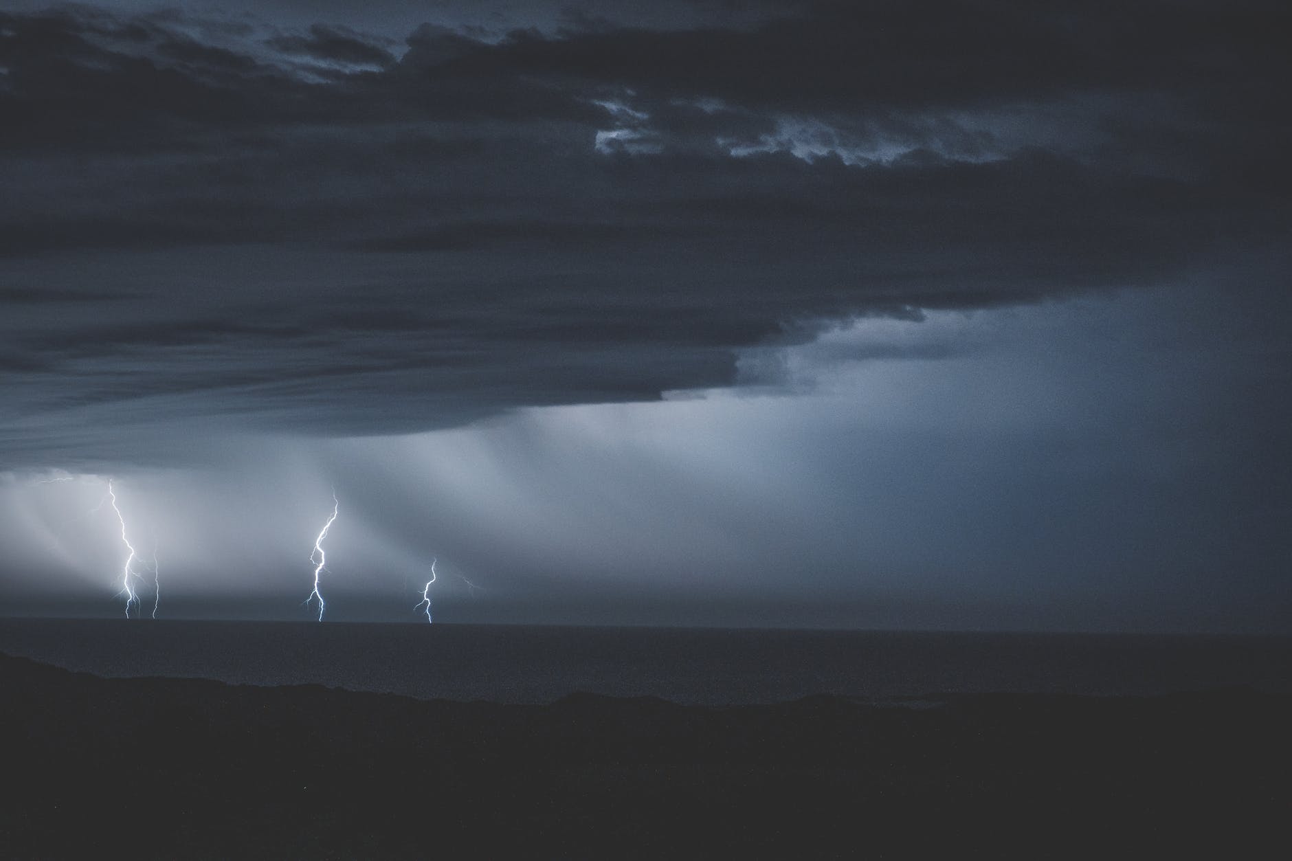
La Niña typically brings above average rainfall, below average maximum temperatures and above average overnight temperatures across large areas of Australia. It also typically produces more tropical cyclones during Australia’s cyclone season, which runs from November until April.

If we do see a fully-fledged La Niña forming in the next few months, this would be the first back-to-back La Niña event in a decade.

Latest news

Satisfy your weather obsession with these news headlines from around the nation, and the world.

Perth sets rainfall streak not seen in 18 years as water storage levels fall

For four months in a row, Perth has exceeded its average monthly rainfall – the first time this has happened in the traditionally wet winter and spring period since 2007. Perth reached its September average of 79.3mm during light showers on Tuesday and Wednesday. Another 13.2mm of rain then fell in the 24 hours to […]

DTN remote sensing captures rain and thunderstorms lashing Solomon Islands

Aviation, mining and shipping industries in the Solomon Islands and other South Pacific nations are often unable to use traditional radar to warn of incoming storms that disrupt operations and put workers in harm’s way. DTN APAC offers a suite of remote sensing weather solutions that give businesses and industries in remote areas around the […]

Negative Indian Ocean Dipole officially underway – here’s what it means for Australian businesses and industries

A negative Indian Ocean Dipole (IOD) event is now underway, increasing the likelihood of above average rain over large parts of Australia in the coming months. What is the Indian Ocean Dipole (IOD)? The IOD is an index used to monitor sea surface temperatures across the tropical Indian Ocean. It’s an important index for the […]

La Niña more likely this year after BoM switches to new index – what does this mean for Australian businesses?

The likelihood of La Niña occurring in 2025 has increased due to a change in the way the Bureau of Meteorology calculates sea surface temperature anomalies in the tropical Pacific Ocean. What is La Niña? La Niña refers to a distinct pattern of sea surface temperatures across the tropical Pacific Ocean. When La Niña is […]