

Parts of eastern Australia just sweltered through one of the warmest nights in years, with temperatures in some towns failing to drop below 30ºC.
The infrared satellite image below shows thick cloud encompassing the southeast in the early hours of Monday morning, as ex-Tropical Cyclone Kirrily impacts southwestern Queensland and western NSW.
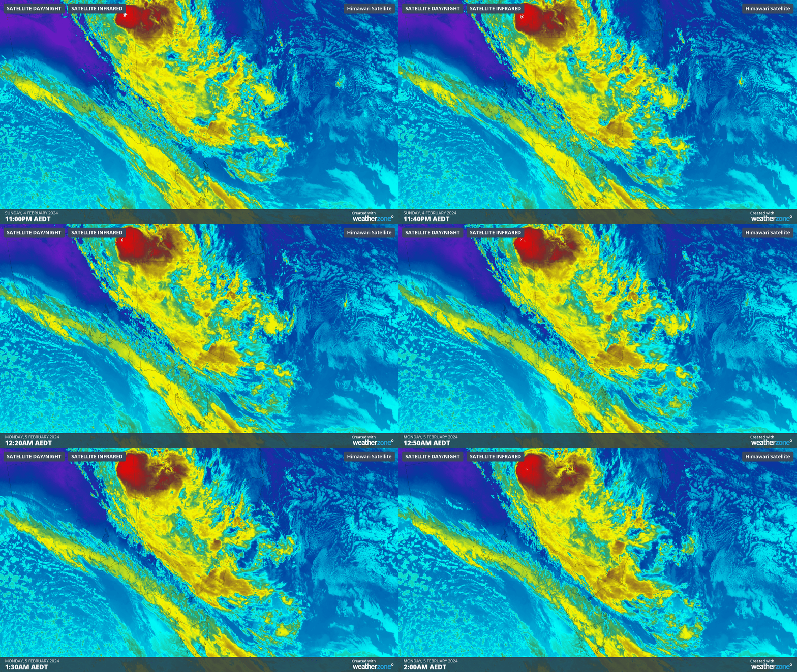
Image: Infrared satellite image for 3 hours from 11pm AEDT on Sunday, February 4.
This cloud acted as a blanket overnight and trapped the heat from Sunday, bringing above average temperatures to most locations in NSW and Victoria.
Some of the notable observations in NSW on Sunday night were:
- Montague Island lighthouse recorded their warmest February night in 51 years, with a minimum temperature of 22.5ºC
- Dubbo’s temperature failed to drop below 30.0ºC, which is 12.5C above the February average.
- Sydney’s minimum temperature was 24ºC, which was around 5ºC above average, the city’s warmest February night in 4 years.
- Mudgee Airport had the warmest February night in 32 years with the minimum dropping to 26.3ºC, which is 10.7ºC above average.
- The last time Taree saw minimum temperatures of 24.2ºC and higher in February was in 1998.
Over the border in Victoria, some standouts were:
- Kyabram equalled their February record of 26.5ºC set in 1997 (59 years of records)
- Mount Nowa Nowa had their hottest February night in at least 28 years, failing to cool below 25.9ºC
The map below shows the warm overnight temperatures across NSW and Vic on Sunday night.

Image: Minimum temperature observations on Sunday night, February 4.
These warm overnight temperatures gave Monday’s heat a head start, with Sydney’s temperature already 33.5ºC at 11am AEDT. The ‘feels like temperature’ at this time was 38.8ºC, thanks to this heat combining with high humidity.
Despite this warm morning, temperatures should cool in the early afternoon, with a cooler southeasterly change moving through the state.
While nighttime and daytime temperatures should cool in Victoria and southern NSW from Monday evening, warm temperatures will continue in northeast NSW and southeast Qld. For more information on our energy forecasts, please contact us a apac.sales@dtn.com.




