
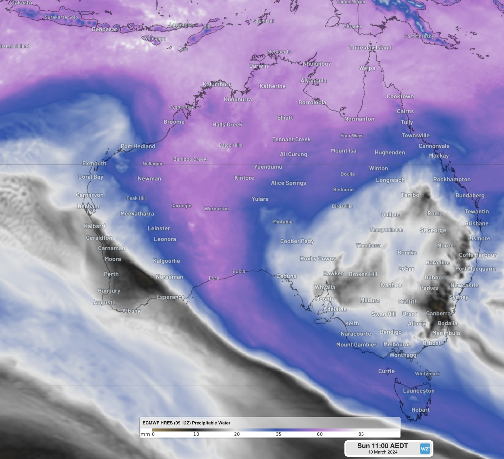
Over 4 months of rainfall has fallen in a single day in southeastern parts of WA, with the chance of over a years’ worth of rainfall falling by the end of the week.
Eyre, along WA’s southern coast, experienced unprecedented heavy rainfall, with 141mm of rainfall was recorded in the gauge to 9am WST Sunday. This rain is exceptionally heavy for the region and is:
- Their wettest day in 136 years of rainfall records
- Nearly equal to the 2 previous wettest days on record combined: 81.2mm on 17/03/2011 and 75.8mm on 17/03/2000
- 4.6 times the average monthly rainfall for March, which is 30.6mm
- Nearly half of their entire average annual rainfall of 326.2mm
Laverton, about 550km to the northeast, also saw their wettest March day in 125 yeas of rainfall records, recording 72.6mm in the 24 hours to 9am (about one third of their annual average). This also included a months’ worth of rain in just 3 hours, with 37mm falling between 9pm and midnight.
Other significant 24-hour totals in the region included 126mm at Tropicana Airport, 51mm at Gruyere Airport, and 24mm at Red Rocks Point. Note that rain gauges are very sparse in that portion of the world, and there are locations estimated to have seen up to about 200mm in the last 24 hours.
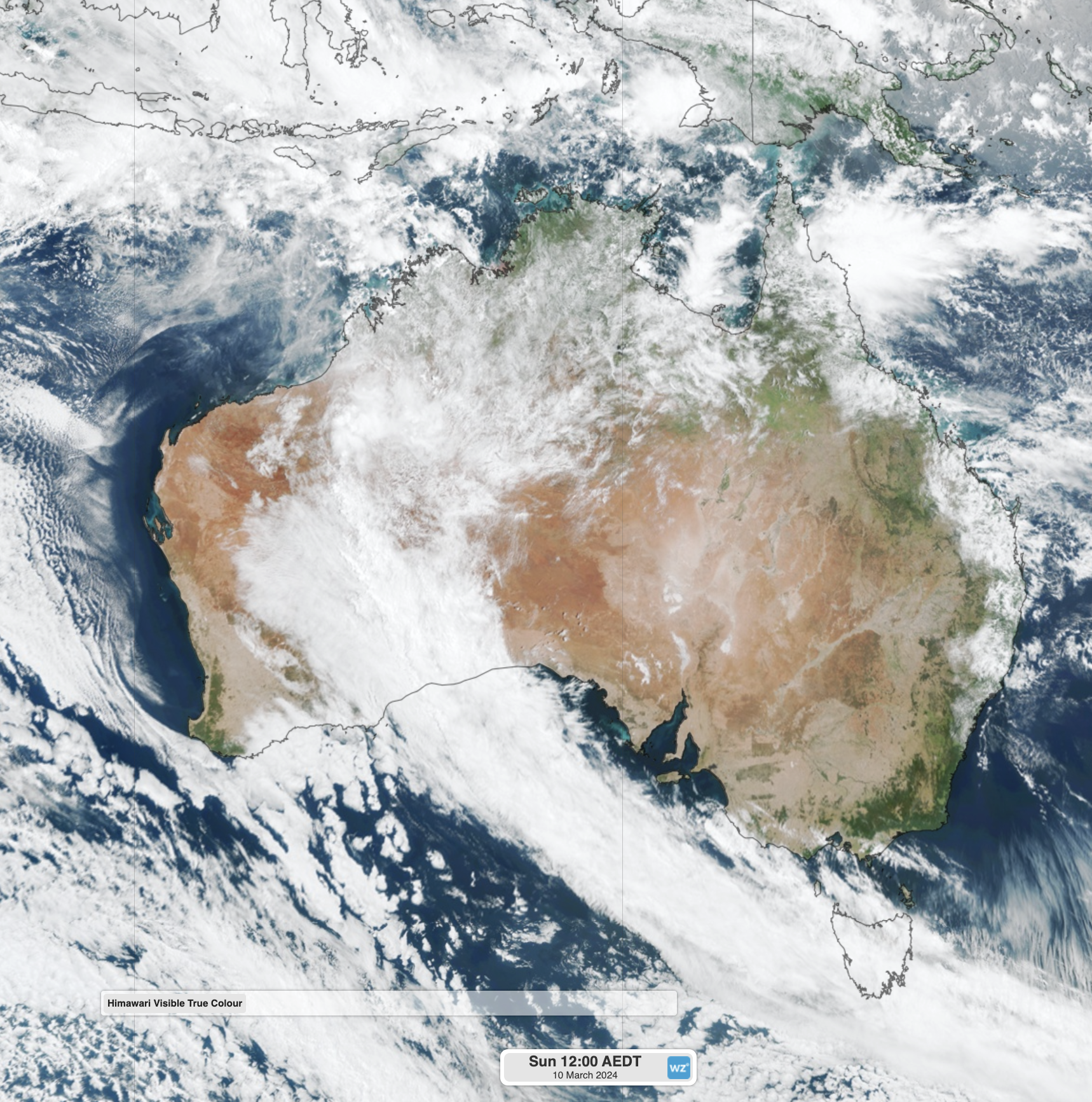
Image: Satellite image, showing a large mass of cloud over southeastern WA (also crossing Tasmania)
Incredibly, these enormous deluges are only the start of the rainfall that the Nullarbor and Australia’s largest desert, the Great Victorian Desert, will see over the next four days. Between midday Sunday and midday Thursday, another 100-300mm is expected to fall.
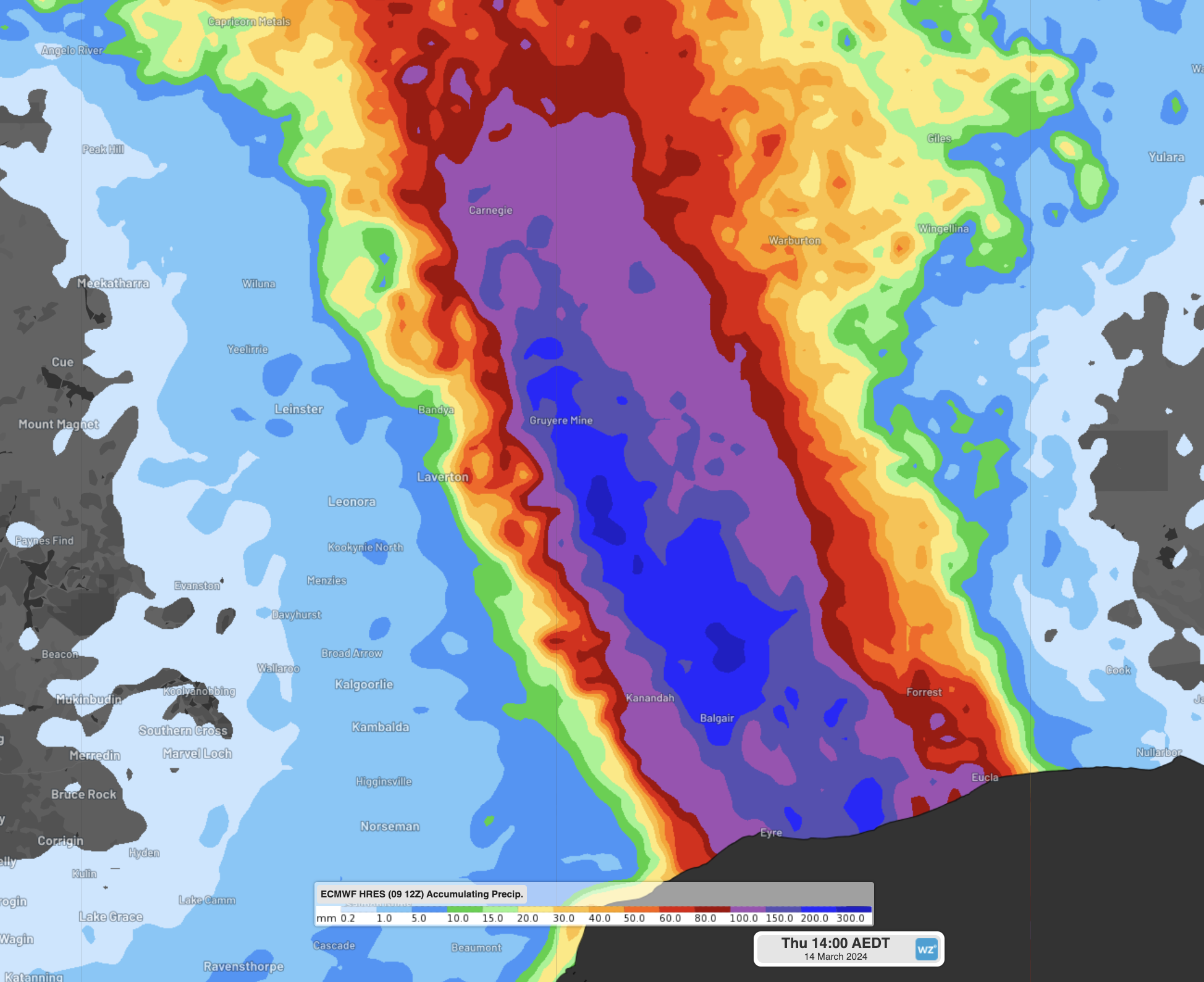
Image: Forecast rainfall to 11am Thursday from ECMWF, showing large areas expecting another 100-300mm of rain to fall
Adding this rainfall to what has already fallen, several locations are expected to exceed their annual average rainfall by Thursday, potentially even doubling it.
This record-breaking rainfall is occurring due to the setup of a blocking high over the eastern states that is triggering a heatwave. This high is preventing a trough, along with the jetstream overhead, from tracking east, thereby forcing it to remain virtually stationary over the coming days.
The location of the jetstream is right in the path of the developing monsoon over northern Australia. This is acting as a giant funnel, forcing moisture from the Coral Sea, Arafura Sea and the Indian Ocean into an atmospheric river over the region.
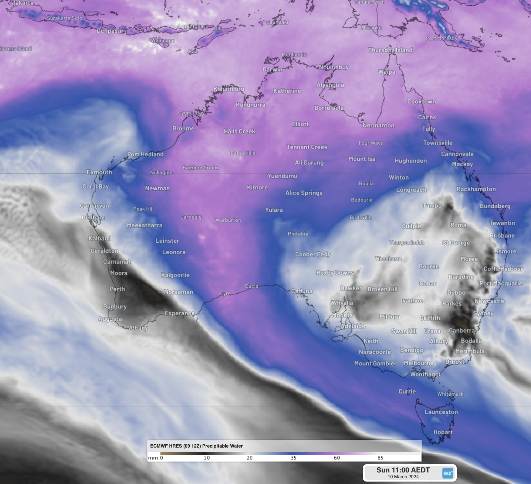
Image: Precipitable Water on Sunday morning, showing massive amounts of moisture flowing from northern Australia to the Nullarbor
The Nullarbor is notoriously flat, so the mammoth amounts of water that has fallen and will fall over the coming days is unlikely to leave the area anytime soon. This will likely lead to transportation problems over the coming weeks and perhaps months. You can see all WA road closures and incidents here and keep up to date with the latest warnings at Weatherzone.
DTN APAC has heavy rainfall and flooding alerts to help you keep track and prioritise assets that require attention, as well as specialised resources to support the mining and transport sectors. To find out more, please email us at apac.sales@dtn.com.




