")
DTN APAC, delivers the Flood Risk System (FRS) to provide flood risk visibility. You can now easily visualise precipitation, and access rapid-update forecasting, across multiple sections of your site with the FRS geofenced alerting system. Gain a more precise determination with DTN APAC’s advanced geospatial technology creating hundreds of virtual ‘weather stations’ for each monitored section or culvert.
Rainfall is measured across each of your established catchments, with alerting calibrated to their individual thresholds. Alerts are raised when thresholds for any section are approaching or have been breached. This gives you targeted risk visibility to inform your assessment, operational response and emergency management.
The FRS can be integrated into your existing DTN APAC interface, or your own monitoring and control systems. Real-time monitoring of each catchment’s predefined thresholds is coupled with forecasting of rain, so you can provide your team with the most up-to-date information on whether conditions will ease, continue, or worsen.

The FRS gives you an overview of every catchment on your site on one, easy-to-interpret API. Don’t waste time analysing complex water level and meteorological data. This monitoring system delivers local evaluation and notifications in real time, in a simple format that supports your situational awareness. Optimise your preparedness and proactive assessment with a clear overview of on-site conditions, both current and forecast.
Enhance measurement systems and heighten risk visibility by sharing the FRS rainfall monitoring data with a third party to integrate hydrology and culvert alerts for your site.
Protect your team with audible and visual advanced warnings delivered through the summary interface, as well as by SMS, email and our WeatherGuard app for those in the field.
Maintain flood risk awareness and improve communications with trusted local information, flood monitoring and alerts, and team-wide access to FRS data.
")
The FRS is driven by Oracle – our satellite-derived, gridded nowcasting system: forecasting at a 1-2km resolution and updating every 10 minutes. Oracle has the upper hand in capturing hyper-local temperature, lightning, cloud cover, wind and amount of rainfall for your location, no matter how remote. DTN APAC uses local and on-site weather stations to benchmark the radar system, helping remove model bias, and improving overall accuracy.
As your business integrates the FRS, it is trained to increase precision. Based on your feedback, catchment thresholds can be altered. If your business observes that the system may be under-playing or over-playing flood event risk based on information on site, we adjust accordingly. Alterations can be made quickly and, over time, the system can be continually optimised to flood conditions on-site.
One of Australia’s main climate drivers the IOD may be shifting into a phase that could impact the energy market, fire and emergency services and mining operators in the late winter and spring. What is the Indian Ocean Dipole? Australia’s weather is shaped by the seasons – cooler winters, warmer summers, and rainfall patterns that […]

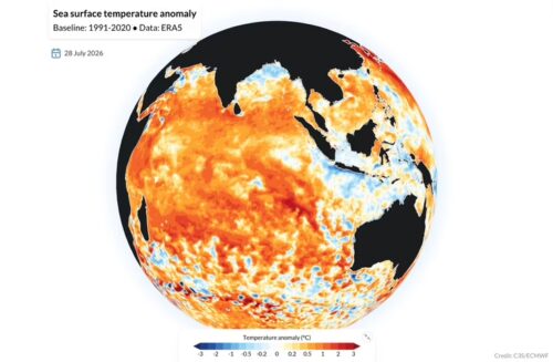
The 2026 El Niño has the potential to become one of the strongest on record, raising the likelihood of a warm and dry spring and summer across much of Australia. With the risk of elevated bushfire conditions later this year, fire and land management agencies are being urged to begin seasonal preparedness early. Potential record-breaking El Niño Beneath the surface of the tropical Pacific Ocean, a pool of abnormally […]

A positive Indian Ocean Dipole (IOD) could develop in the coming months, a signal mining and energy operators and fire agencies will want on their radar with it potentially increasing the likelihood of warm and dry weather over large areas of Australia in late winter and spring, with flow-on effects for water availability, dust/heat exposure, […]

For most of June, the Snowy Mountains looked like they’d skipped winter altogether. Now, 28 cm of fresh snow has fallen at Thredbo, providing a promising sign for the season’s eventual snowmelt contribution to hydropower. Thredbo in New South Wales was reporting 28 centimetres of snow overnight with snowfalls continuing this Friday morning, its nearby neighbour Perisher reported 25 cm, while Mt Hotham […]
