
In a landscape covered with frost as far as the eye can see, how can a ring of grass remain completely frost-free?
The photo below shows an unusual phenomenon that occurred in Exeter, NSW on a cold morning in the middle of this month.
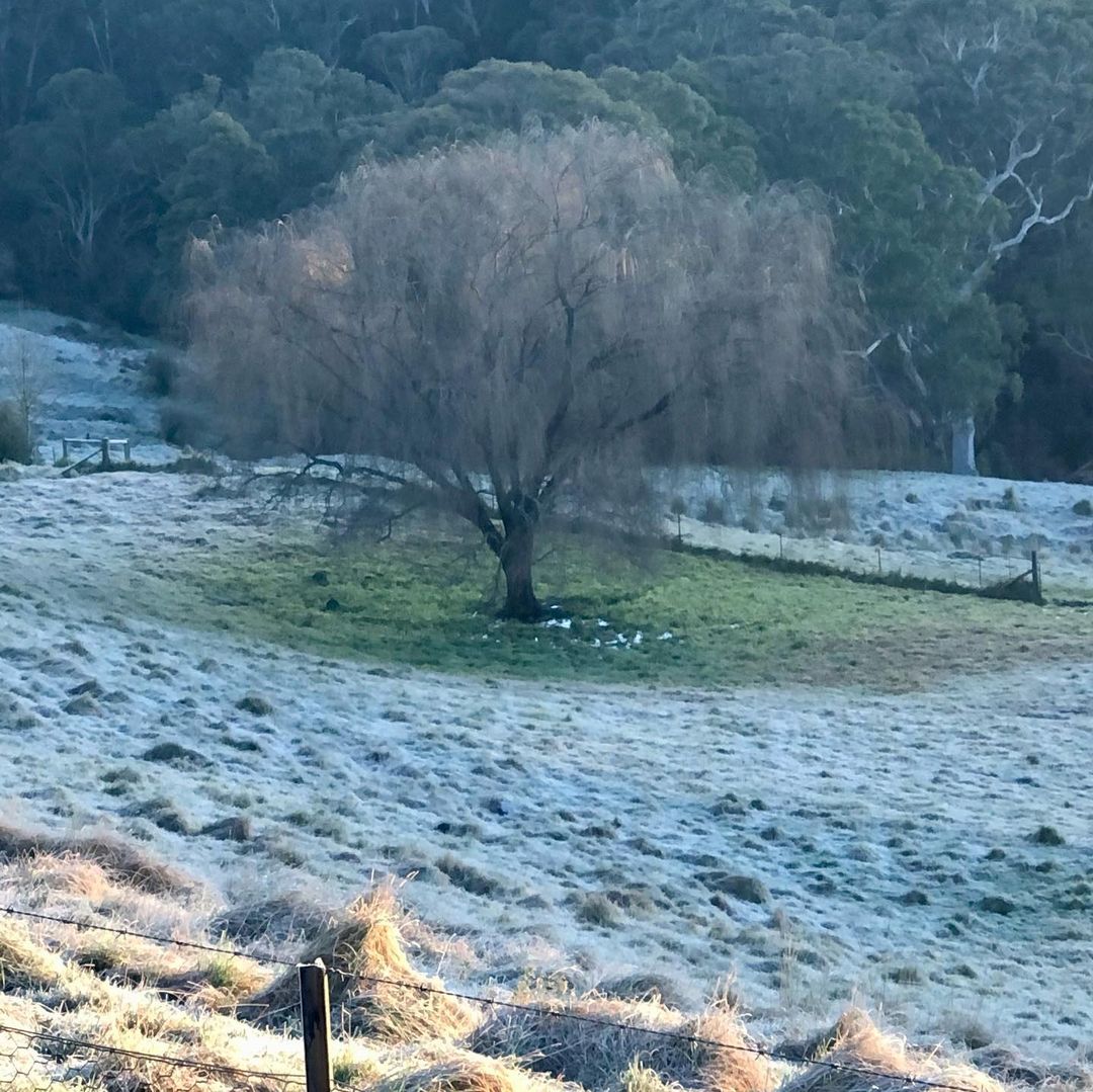
Image: A frosty morning in Exeter, NSW on July 15. 2022. Source: @citygirlcountrychallenge / Instagram
The picture shows a frost-covered field with a large ring of exposed frost-free grass beneath a tree. Somehow, frost hasn’t formed below the tree, even though frost appears to cover almost every other part of grass in the picture.
So, what happened?
There are a couple of things in the photo that are likely to have prevented frost from forming on the grass beneath the tree.
If you look closely, you can see what looks like small pools of water at the base of the tree. This is not surprising in low-lying areas of the landscape because the Exeter region of NSW is having its wettest July on record, with close to 400mm of rain hitting the ground this month.
Water is better at retaining heat than the land. So, when the ground loses heat at night, areas of earth that are covered by water don’t get as cold as the surrounding landscape. In this case, the higher ground managed to get cold enough for frost and the lower, water-covered ground didn’t.
The second factor that likely helped prevent frost was the tree.
At night, heat radiates away from the ground into space. This radiative cooling is more extreme on clear and calm nights because the heat can escape more freely into space.
However, if you place an object above the ground at night, this object will reflect some of this heat back towards the ground, as well as emitting its own radiation towards the ground. This is why cloudy nights aren’t as cold as clear nights.
You can experience this phenomenon yourself by going outside on a cold, clear and calm night and looking up at the stars. Under clear skies with no wind, you should start to feel your face getting colder as heat radiates away from your skin. However, if you hold a piece of paper above your face, you should feel some of the warmth reflected and emitted by the paper on your skin.
In the photo above, the tree may have hindered the ground’s ability to lose heat through overnight radiative cooling, which prevented frost from developing.
Unfortunately, these Highland Cattle in Jindera weren’t so lucky on the same morning.
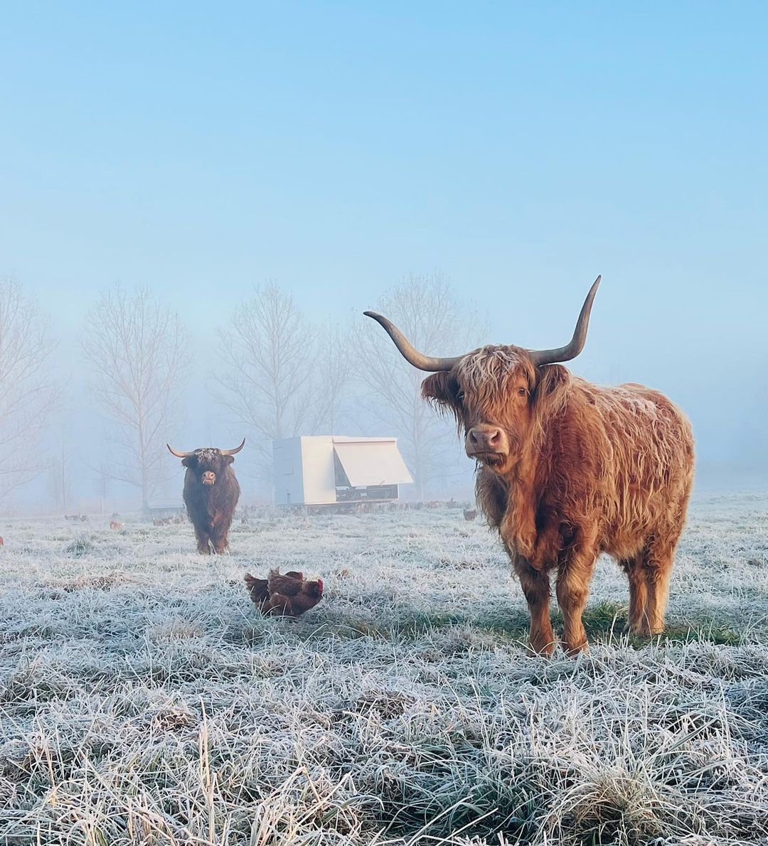
Image: A frosty morning in Jindera on July 15, 2022. Source: @pink_paddock_eggs / Instagram
For more information, please contact us at apac.sales@dtn.com.


