
Rain and thunderstorms will affect large areas of Australia this week as increasing tropical moisture feeds into several low pressure troughs across the country.
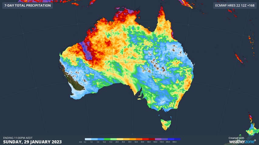
The map below shows how much accumulated rain one computer model is predicting across Australia this week. Based on this model’s forecast, we are likely to see rain in part of every state and territory, and heavy falls are possible in northern areas of the NT and WA.
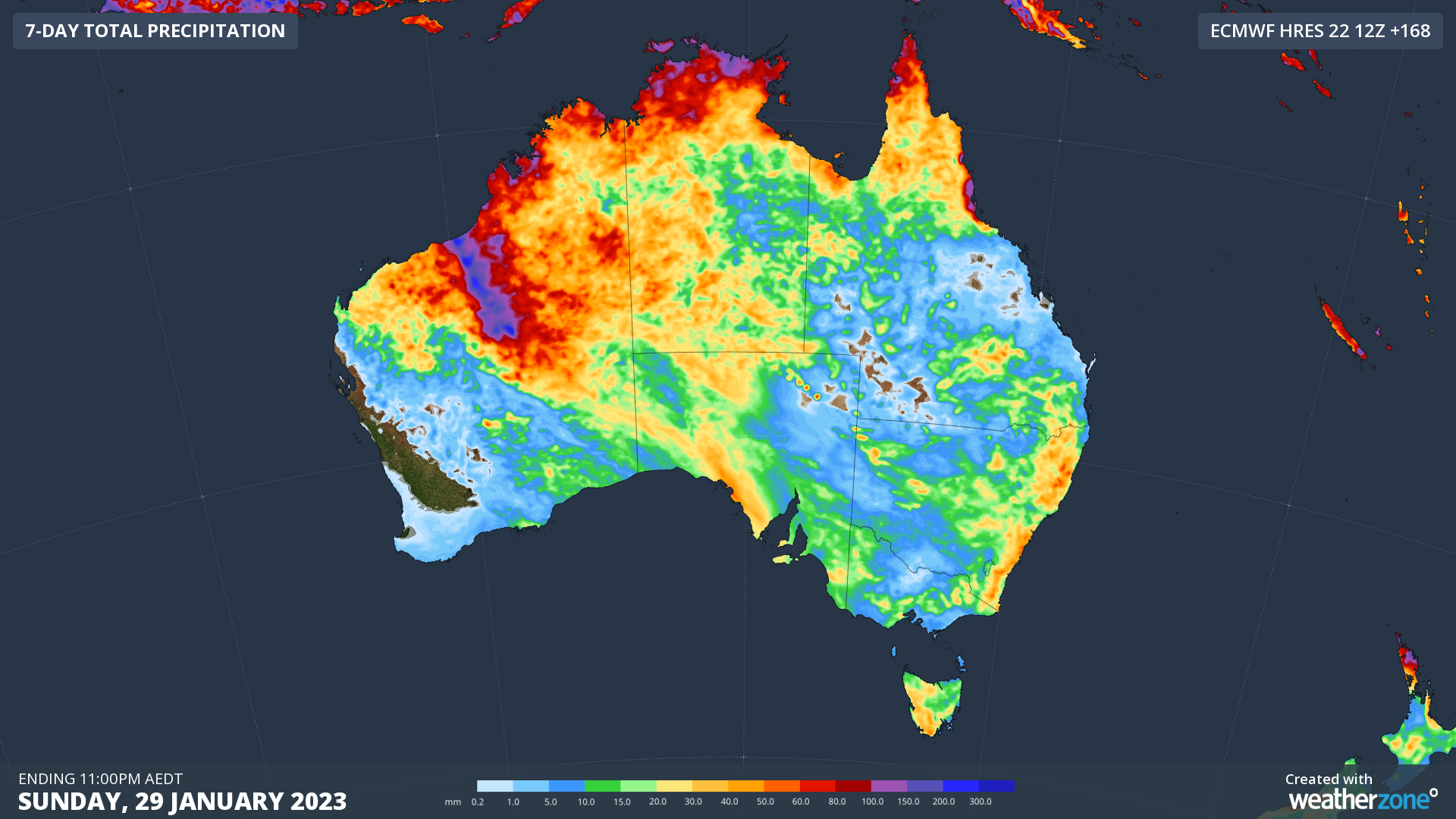
Image: Forecast accumulated rain this week, according to the ECMWF-HRES model.
While there is some uncertainty between forecast models regarding exactly where and how much rain will fall, there is good agreement that Australia will see widespread and locally heavy rain over the course of this week.
The rainfall being predicted over eastern and southeastern Australia this week will come from daily shower and thunderstorm activity. This means that some places could see more than 30 mm of rain falling over several days, while others are likely to miss out on any wet weather.
There will also be severe thunderstorms in eastern and southeastern Australia’s this week, so be sure to check the latest forecasts and warnings each day.
More sustained and heavier rainfall is likely to affect northern Australia this week, thanks to a slow-moving low pressure trough and embedded low pressure system. There are indications that the low may even strengthen into a tropical cyclone to the north of WA around Friday or Saturday. This increases the likelihood of severe weather in the Pilbara, Kimberley and northern Interior towards the end of the week.
This weekend could also see a relatively strong cold front interacting with a stream of tropical moisture to cause a broad band of rain over central and southern Australia. The development of this rainband will be strongly influenced by the behaviour of the tropical low/cyclone in the north, so more accurate details will become available later in the week.
One final thing to watch out for this week will be a bout of hot weather in southern and southeastern Australia around Friday and Saturday, ahead of the developing rainband. It is common to see extreme heat in the nation’s southeast when a tropical cyclone is active near northwestern Australia.
To find out more about DTN APAC and its weather forecasts and alerting services, please email us at apac.sales@dtn.com.




