
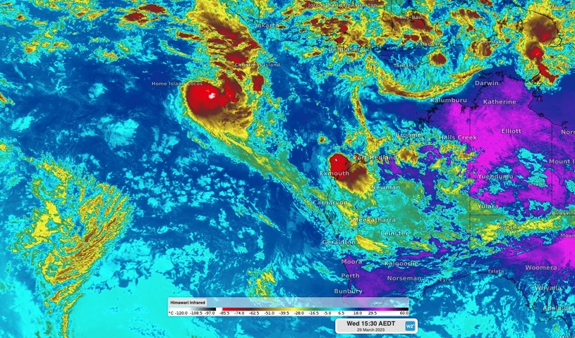
A low pressure system located off the northwest coast of Australia is expected to become a tropical cyclone within the next 24 hours.
The animation below shows a tropical low located near the Cocos-Keeling Islands on Wednesday morning. At 8am AWST, the centre of this low was roughly 380 km east of Cocos Island and just under 1,800 km northwest of Exmouth.
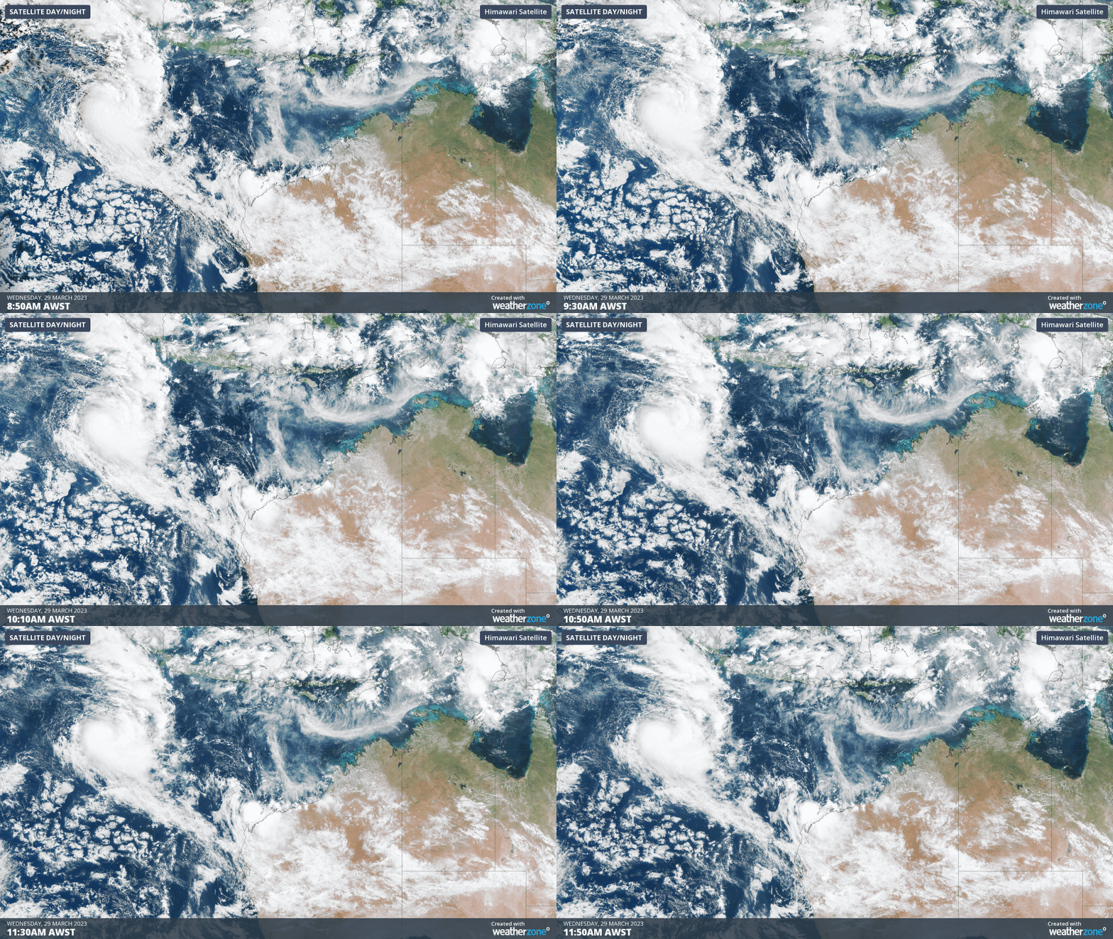
Video: Visible satellite images showing a large mass of cloud near a tropical low located to the northwest of Australia on Wednesday morning.
Earlier this week, most forecast models suggested that this low didn’t have much chance of becoming a tropical cyclone. However, it is about to move into a region of low vertical wind shear that should allow it to quickly gain strength.
The Bureau of Meteorology expect this low to become a tropical cyclone on Wednesday night or Thursday morning as it moves towards the southeast. This outlook is backed up by the Joint Typhoon Warning Center, which gives a high potential for tropical cyclone development within the next 24 hours.
If this system does become a tropical cyclone, it will take the next available name on Australia’s pre-determined list of tropical cyclone names, which is Herman.
At this stage, Herman is expected to remain well off the WA coast and may only last as a tropical cyclone for a day or two, posing no direct threat to the Australian mainland.
You can find the latest tropical cyclone advisories and track maps here.
How Weatherzone can help you prepare for Tropical Cyclones
DTN APAC has a suite of tropical cyclones services we provide to deliver our clients with as much forewarning of tropical cyclones as we can. We have 4 levels of forecasts timeframes:
- Tropical cyclone seasonal outlooks
- Weekly tropical update
- Daily 7-day tropical cyclone forecast
- Detailed tropical cyclone impacts (issued every 1-6 hours aligning with offical advisories)
Through these products you can have as much preparation as possible for tropical cyclones and their impacts. To find out more, please visit our website or email us at apac.sales@dtn.com.




