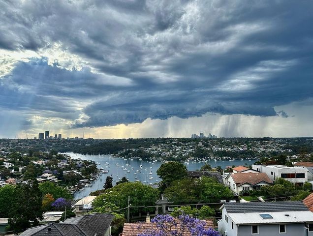
More than 2.5 metres of rain has fallen on Sydney this year, obliterating the city’s previous annual rainfall record by more than 300 mm.
Sydney just had an exceptionally wet year thanks to the rain-boosting influence of thee wet-phase climate drivers:
- Back-to-back La Nina events
- A negative Indian Ocean Dipole (IOD)
- A predominantly positive Southern Annular Mode (SAM)
Near-record number of rain days
Up to 9am on Monday, December 19, the city had registered detectable rainfall on 196 out of 353 days so far this year, meaning it has rained on roughly one out of every two days in 2022.
Based on the number of rain days between January 1 and December 19, this is Sydney’s third rainiest year-to-date on record, beaten only by 201 days in 1891 and 207 days in 1893.
When looking at the year as a whole (i.e. Jan 1 to Dec 31), the 196 rain days we have already seen in 2022 puts Sydney in fourth place behind 212 rain days in 1893, 205 in 1891 and 197 in 1950.
But while some other years in records dating back to 1859 had more rain days than 2022, none even came close to the volume of water that has fallen from the sky this year.
Unrivalled amount of rainfall
Sydney’s running annual accumulated rainfall total for 2022 had reached 2522.8 mm by 9am on December 19. This easily beats the previous annual record of 2194 mm from 1950. It’s also more than double the city’s long-term annual average of 1213.4mm, based on mean annual rain.
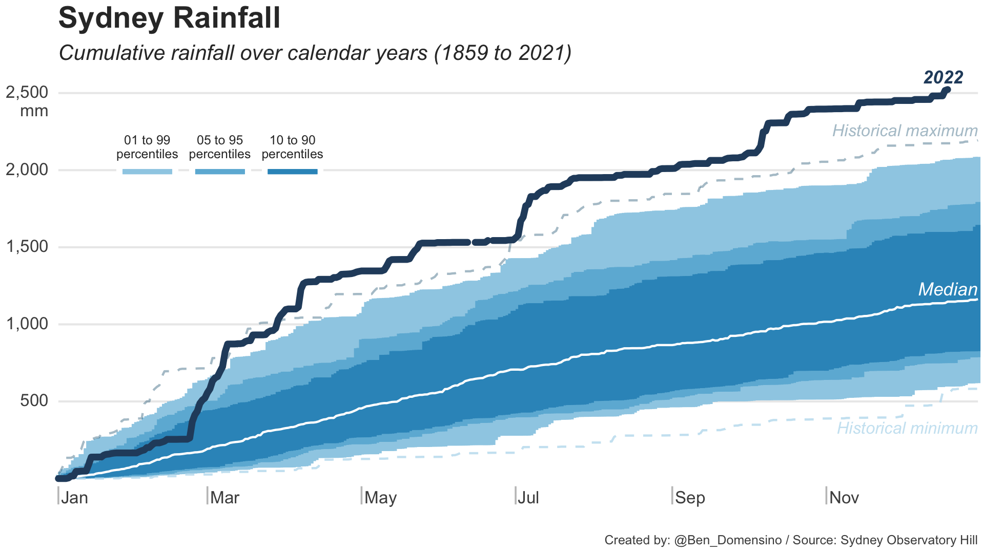
The only other Australian capital city that has exceeded 2.5 metres of rain in a calendar year is Darwin. But even tropical Darwin has only managed to do that three times, with 2776.6 mm in 1998, 2626 mm in 2011 and 2643.9 mm in 1974. So, Sydney’s 2022 rainfall is the fourth highest annual total on record for any Australian capital city.
Unsurprisingly, Warragamba Dam is currently sitting at 97 percent of its capacity in response to this year inflows into Lake Burragorang.
.jpg)
Image: False-colour visible satellite image captured by the Sentinel-2A satellite, showing water in Lake Burragorang on December 15, 2022. Source: Sentinel Hub
Most forecast models suggest the final fortnight of 2022 will be relatively dry in Sydney, although it’s unlikely the city will see out the year without adding a bit more rain to the tally.
To find out more about Weatherzone’s weather forecasts and alerting services, please email us at apac.sales@dtn.com.


