Where have all the East Coast Lows gone?
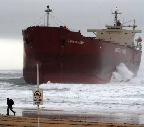
Winter is usually the peak season for East Coast Lows in Australia, but this year has been eerily quiet in the Tasman Sea. So, where have all the ECLs gone? East Coast Lows (ECLs) are intense low pressure...
At last, snow!
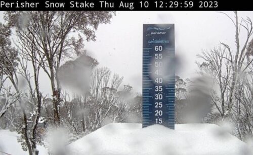
It’s been a while, but heavy snow has fallen in the alpine regions of New South Wales and Victoria in Australia. The not-so-great news is that Tuesday’s flakes appear to have been a relatively quick burst. But some...
How will this fire season compare to Black Summer?
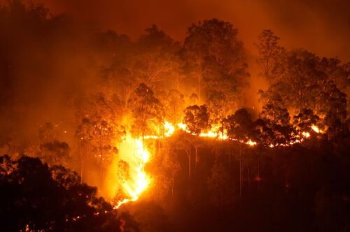
The 2019-20 ‘Black Summer’ bushfire season was catastrophic for parts of eastern Australian and the worst fire season NSW has recorded. Now, with more hot and dry weather forecast this spring and summer, some people may be wondering...
July 2023 air and sea temps the hottest on record
After a month in which the record for the Earth’s hottest day was shattered more than once, then the record for the Earth’s hottest week melted away, is it any surprise that July 2023 turned out to be...
Hair dryer, then warm bath to engorge hydro lakes early this season
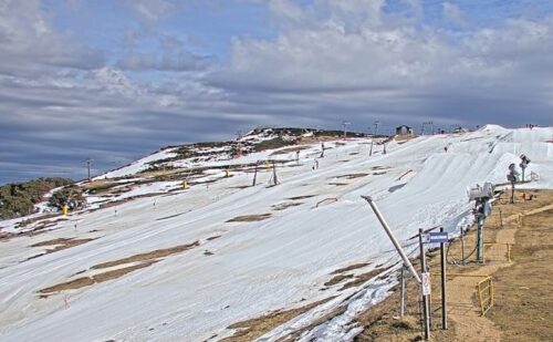
Locals call it the “hair dryer”. It’s a strong, warm northwesterly wind that erodes the Aussie snowpack like a bushfire burns through forest. Normally you expect the hair dryer to show up in September, or if you’re unlucky, around...
Snow in WA as Antarctic air reaches Australia
Snow settled on the Stirling Range in WA on Thursday morning after a frigid polar air mass travelled from Antarctica to Australia. A long fetch of southerly winds has been blowing across the Southern Ocean during the past...
Strong cold front crossing southern Aus
A massive cold that slammed into WA on Wednesday will bring a burst of wind and rain to other areas of southern and southeastern Australia during the next 48 hours. Wind gusts exceeding 100km/h were recorded in parts...
Severe winter weather lashing WA
A wintry blast, with severe storms, potentially flooding rains, and bitterly cold temperatures are on its way to southwest WA, abruptly ending the region’s taste of spring on Tuesday. On Tuesday, the mercury was five to eight degrees above the...


