Severe storms lashing NSW, heavy rain looms for South Coast
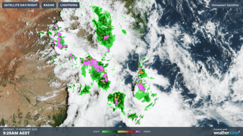
A massive line of dangerous thunderstorms is bearing down on Sydney this Monday morning, having already impacted parts of central NSW transport operations. Heavy rainfall will develop from this afternoon along the NSW South Coast, however the immediate weather...
Hottest spell this summer likely for parts of the NEM
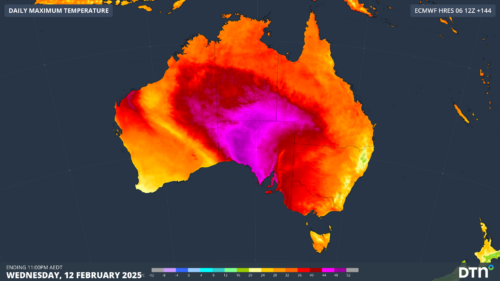
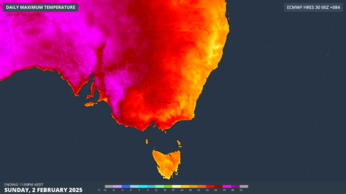
Another burst of intense heat will impact the southern National Electricity Market next week, with unusual humidity and uncomfortably warm nights increasing energy. This heatwave will likely stretch between Monday and Thursday next week, with the most blistering heat...
Heavy rain, storms and cyclone risk threaten Australian mining as monsoon approaches
Darwin’s latest monsoon on record is finally arriving on Friday, bringing heavy rain, thunderstorms with it and a higher risk of tropical cyclone development in the next week or so. The monsoon refers to the seasonal reversal of the...
Severe thunderstorms impacting NSW transport and mining sectors
Dangerous thunderstorms are developing across parts of NSW this Wednesday afternoon, including the Hunter valley a busy mining hub in NSW. A severe thunderstorm warning for heavy rainfall, damaging winds and large has been issued for parts of the...
Two severe tropical cyclones in Australian region impacting shipping
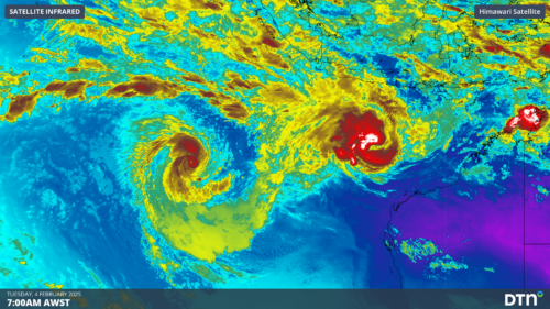
Two tropical cyclones have formed over the Indian Ocean to the northwest of Australia in the past 48 hours, with 75% of Australia’s cyclones so far this season becoming severe. The satellite image below shows that an eye has developed...
Unusual mix of heat, severe storms, flooding and bushfires impact Vic emergency services
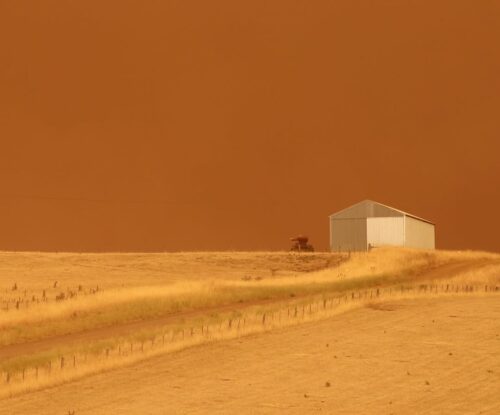
On Sunday, Vic experienced the rare combination of extreme heat and severe thunderstorms, which sparked several new fires across the states southwest. Sunday’s mix of extreme heat, thunderstorms, rainfall, flooding, and bushfires in Vic was caused by a high-pressure system...
Businesses across northern Australia on high alert as cyclone risk looms
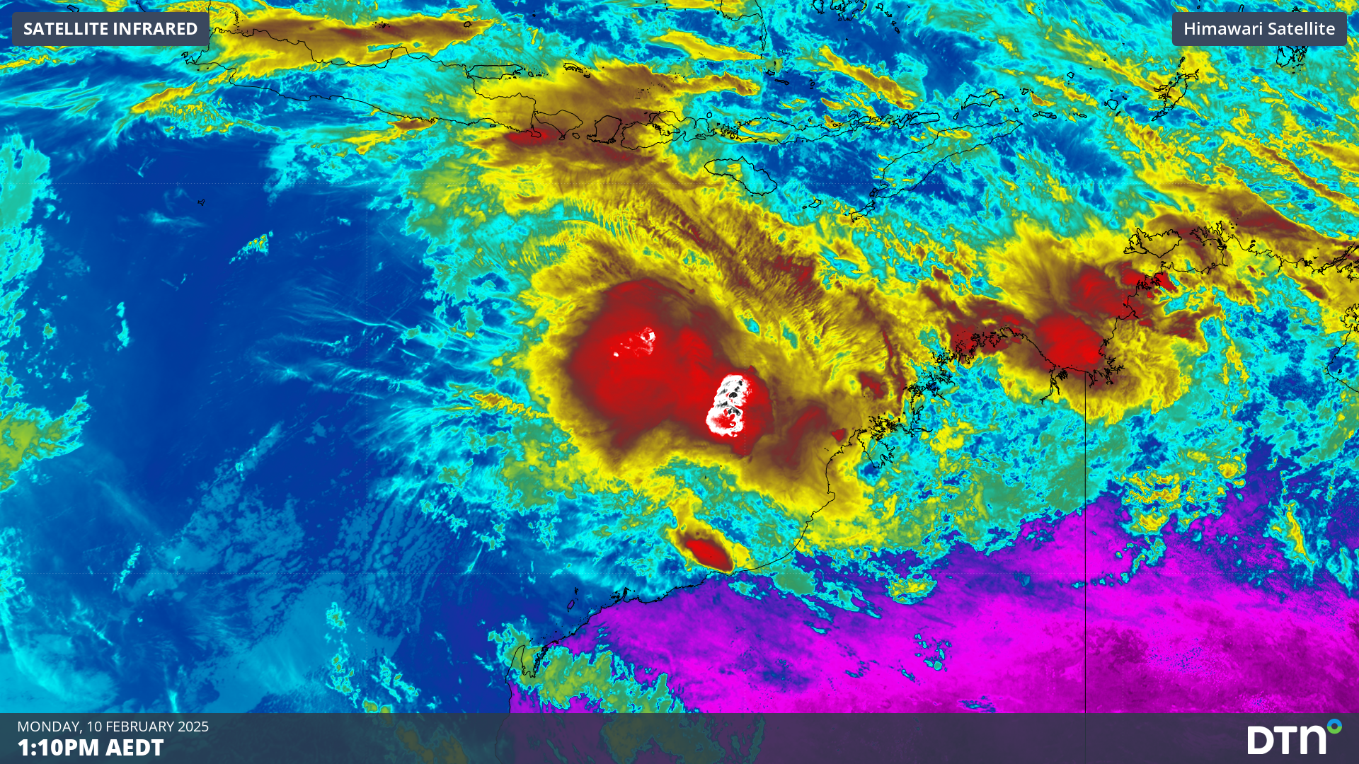
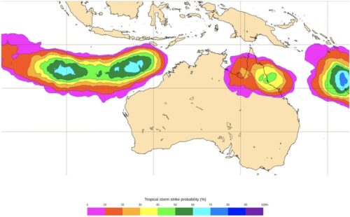
A tropical cyclone could form by early next week, with monsoon winds and tropical lows triggering the wet season and potentially impacting northern Australian businesses. The animation below shows widespread cloud around northern Australia on Friday. Within these vast...
Melbourne facing hottest spell in 11 years
An intense heatwave will impact the National Electricity Market from this weekend, with Melbourne and Adelaide set to see the mercury rise into the high 30s or low 40s for several days. The relentless run of heat will be caused...


