
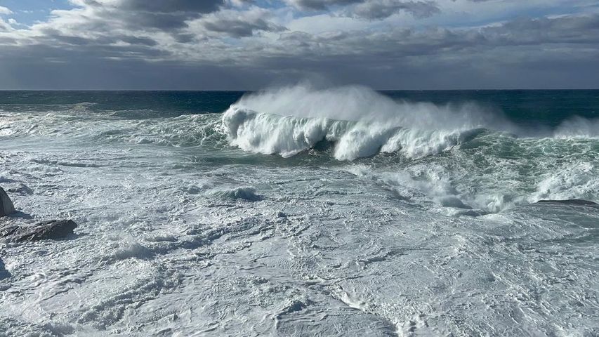
Waves measuring more than 14 metres in height have been observed off the NSW coast today as a powerful low pressure system churns the Tasman Sea.
A mass of cold polar air passing over the Tasman Sea caused a dynamic low pressure system to develop near the NSW coast on Sunday and gain strength into Monday. The deepening low produced gale to storm force winds that created a very large and powerful southerly swell, which has today been lashing the NSW coast.
Video: Big waves at Bondi on Monday morning. Source: @ilanamycock / Instagram
Sunrise at Bondi Beach revealed monstrous waves slamming into rock shelves and washing up the sand. Further south, a select group of experienced surfers attempted to tame towering walls of water near Wedding Cake Island.
Taking the drop after paddling into a huge set at Wedding Cake Island this morning. #Sydney #surfing @Surfline_Aus #Australia pic.twitter.com/BnawcWvedR
— Dallas Kilponen (@dallaskilponen) May 7, 2023
An offshore waverider buoy located near Botany Bay, operated by the Port Authority of NSW, was measuring significant wave heights above seven metres for most of Monday. The buoy’s largest significant wave height on Monday was 8.68 m shortly after 1pm, while maximum wave heights exceeded 14 metres at times and the wave period nudged above 15 seconds.
Waves this large are seldom seen near Sydney at any time of year. Historical data from another Sydney offshore waverider buoy, operated by Manly Hydraulics, shows that significant wave heights above 8.5 metres have less than a 0.01 % probability of occurring in any given May.
Even the 2016 June East Coast Low swell, which famously washed a pool into the ocean at Collaroy Beach, only produced significant wave heights of up to 6.5 metres and maximum wave heights up to 12 metres.
A hazardous surf warning was in place for the entire NSW coast on Monday and will remains in effect for everywhere north of Montague Island on Thursday. Waves will gradually ease through the middle of the week.
DTN APAC has a variety of marine forecasting products and services, including lightning detection, wave height and period forecasts and tropical cyclone services. To find out more, please visit our website or email us at apac.sales@dtn.com.




