
The Madden Julian Oscillation and the monsoon should impact Australia in the next fortnight, increasing the risk of heavy rain, flooding, thunderstorms and tropical cyclones in the coming weeks.
The Madden-Julian Oscillation (MJO) is currently over the Indian ocean and is forecast to move east towards Australia in the coming days and remain in the region for the next fortnight.
The MJO refers to a pulse of increased tropical cloud, rainfall and thunderstorm activity that moves from west to east near the equator once every 30 to 60 days. When it’s near the Australian region it typically enhances rainfall and thunderstorm activity and increases the risk of tropical cyclone development.
.gif)
The MJO’s presence will increase the likelihood of tropical cyclone activity near the Australian region and likely enhance rain and thunderstorm activity over Australia.
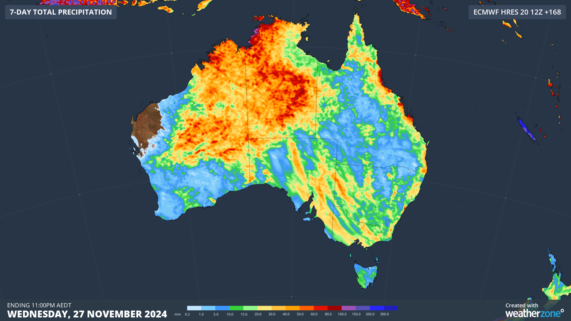
There are also signs that the monsoon could also arrive across northern Australia during the middle of next week increasing the risk of unsettled weather further. The map below shows decent rainfall totals across northern Australia in the coming week.
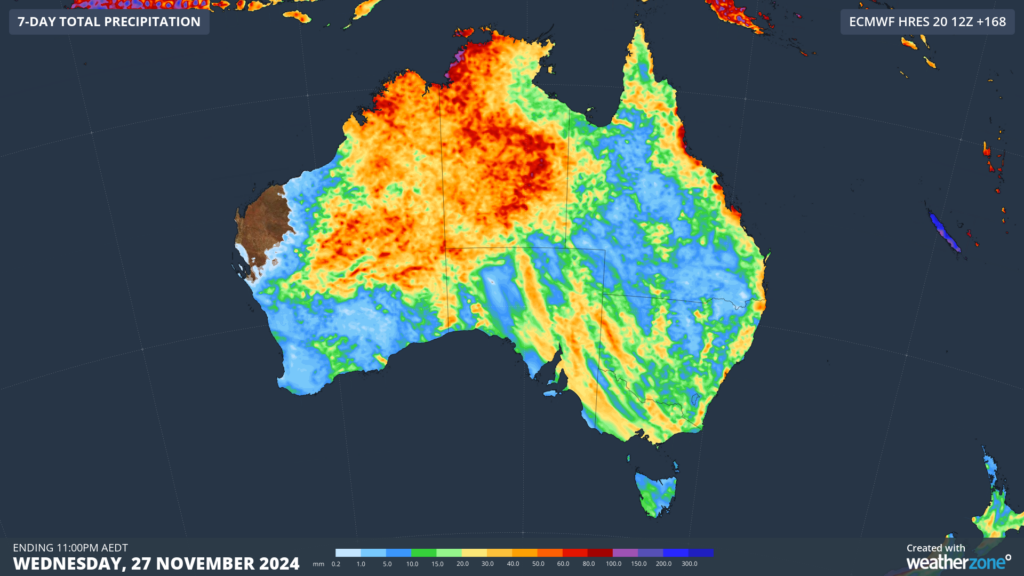
Image: Accumulated rain for the seven days leading up to 11pm on Wednesday, November 27.
The presence of the MJO in the Indian Ocean during the next few days, is increasing the risk of cyclone development in the region. Tropical low (01U) has developed to the southwest of Sumatra and may move into Australia’s area of responsibility this weekend, before moving west again away from Australia.
There is a medium risk that it will develop into a tropical cyclone from Sunday, possibly becoming Australia’s first tropical cyclone of the season. It will most likely named by Jakarta if it forms, however if Australia does name it, it will be called Robyn.

Image: Tropical cyclone forecast for 11pm Sunday, November 24. Source: BOM
Tropical low (01U) is a part of a twin-system on either side of the equator triggered by the tropical waves. The map below shows the second low or cyclone to the east of India in the Bay of Bengal, which could move towards India’s east coast next week.

Image: 950hpa wind forecast at 2pm AEDT on Monday, November 25, according to GFS.
While the twin lows or cyclones are no threat to Australia, the MJO could increase the risk of tropical cyclone development in the coming fortnight.
As the climate delivers increasingly severe weather events, their potential to impact your business operations grows.
DTN APAC, specialises in industry-leading forecast, alerting and threat analysis of tropical cyclones, offering you expert, customised solutions when the weather turns wild.
Providing rapid-update forecast information, we alert you to any low-pressure system gaining power within your region and, unlike other providers, can track its development out to 7 days. This gives you the time to prepare and safeguard your staff, sites and assets.
You will have the most precise weather intelligence charting rainfall, wind speeds and potential storm surges to help you make critical decisions quickly. Whether it’s adjusting key work schedules, protecting your staff or securing your site, we have the alerting capability to keep you steps ahead of the storm.
We will support you, 24/7, keeping you informed and making your critical decisions easier. For more information please visit our website or email us at sales.apac@dtn.com.




