Dangerous thunderstorms are developing across parts of NSW this Wednesday afternoon, including the Hunter valley a busy mining hub in NSW.
A severe thunderstorm warning for heavy rainfall, damaging winds and large has been issued for parts of the Blue Mountains, Hunter and Southern Tablelands as of 1pm on Wednesday. This included a warning for giant hail from a very dangerous thunderstorm that had developed over the Wollemi National Park.
The image below shows that storms have already begun in the Hunter, western Sydney, the Illawarra coast and the Southern Tablelands and you can see the cloud on the satellite through the central ranges and coast associated with the southerly change.
Image: Himawari-9 satellite images for the four hours leading up to 12:40pm AEDT on Wednesday, February 5
Severe thunderstorms may continue to form along southern and central ranges and adjacent slopes in NSW, including the Hunter and the ACT this afternoon and evening.
As well as large-to-giant hail and damaging winds, heavy rainfall that could lead to flash flooding is a major concern on Wednesday. There are several reasons for this:
- High levels of humidity and precipitable water means that there is a lot of moisture in the atmosphere to be rained out
- The winds in the middle of the atmosphere which steer thunderstorms are slow, meaning that these storms will move slowly potentially dumping lots of rain in one region.
These slow moving thunderstorms could delay mining production in the Hunter, as well as the transport networks in NSW.
The severe thunderstorms on Wednesday are being generated by abundant heat and humidity and a southerly change moving up through parts of NSW.
Sydney sweated through an uncomfortable night with the temperature at 5am sitting at 23.3°C and the humidity making the temperature feel like 28°C. This set the scene for a warm and muggy morning, with the maximum temperature of 32°C recorded at 11am before the southerly change arrived. Meanwhile, western NSW and parts of the Hunter should see maximums in the mid 30s on Wednesday.
Are you protecting your mining business from the threat of extreme weather?
Miningzone, by DTN APAC, is the only weather tracking and alerting solution purpose-built for the resources sector.
As the climate shifts into unchartered territory, weather events could affect your mine with increasing force.
Miningzone is the proven and trusted turnkey solution –deployed at over 400 mines globally – offering you tailored forecasting and alerting systems to protect your valuable staff and assets.
Our integrated services are intuitive and user-friendly, providing you with the specific weather and blast data needed to gain a complete environmental picture.
You will have access to our lightning and severe weather tracking and alerts, EPA-approved blast dispersion modelling, thunderstorm tracking and high precision and site-specific forecasting, along with comprehensive reporting capacity.
Precise, market-leading data is delivered via multiple platforms including Weatherguard – our easy-to-use app – and can be fully integrated into your operational control or SCADA systems.
The tailored solution to drive your decisions.For more information contact us at sales.apac@dtn.com
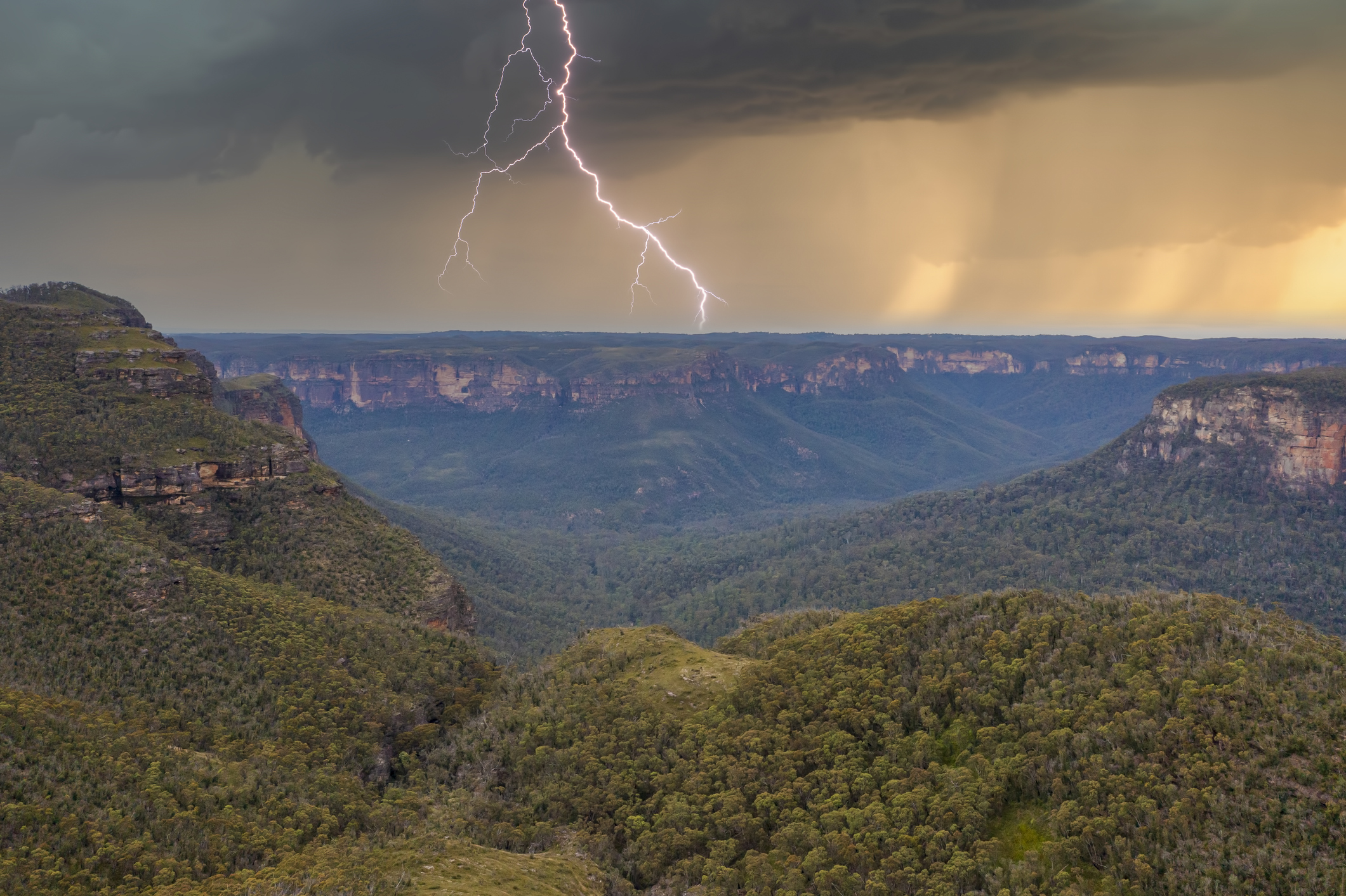
Thumbnail image: Istock/:Phillip Wittke


