
Severe Tropical Cyclone Alfred will edge closer to the Queensland coast on the weekend, with huge waves and gales impacting port operations across large parts of the Qld and northern NSW coasts in the coming days.
Alfred is currently a category three system and is spinning around 850 kilometres northeast of Mackay and is slowly moving south on Thursday morning.
Image: Himawari-9 satellite image at 10:10am AEST on February 27.
Alfred became Australia’s sixth severe tropical cyclone this season on Thursday, meaning six of the seven cyclones in Australian waters so far this season have been of severe strength due to unusually warm waters surrounding the Australian region.
Alfred should remain severe in the next 48 hours or so before moving into a less favourable environment with increased shear likely reducing it to a category two system.
There is good model agreement that the cyclone will creep closer to the central or southern Qld coast on the weekend tracking parallel to the coast, bringing gusty southerly winds and large swell to the coast.
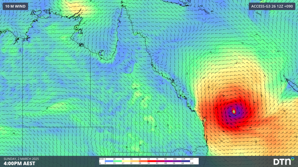
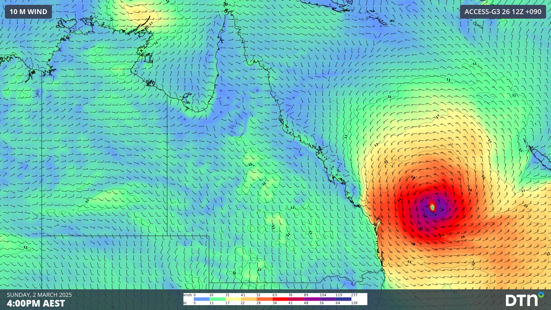
Image: Instantaneous wind gusts at 4pm on Sunday, March 02, according to Access-G
The track of the Alfred next week remains uncertain and meteorologists are watching this system closely
An ensemble model from the European Centre for Medium-Range Weather Forecasts (ECMWF) gives about a 10 to 20% probability of a tropical cyclone hitting the central or southern Qld coast in the next 10 days.

Image: Probability that the centre of Tropical Cyclone Alfred will occur within a 120km radius of a given location in the next 10 days. Source: ECMWF
Regardless of whether the system crosses the coast or not, strong winds, waves and heavy rainfall could impact the Qld and northern NSW coast later this weekend into next week.
A high pressure ridge over the Tasman Sea cradling Alfred will help generate a widespread area of easterly winds over the upper Tasman Sea and southern Coral Sea over the coming week.
This easterly fetch will generate large waves between the Central Coast in Qld down to NSW’s south coast next week. The swell direction should also send waves between the Great Barrier Reef and Queensland, reaching as far north as the Whitsunday Islands. Further south, the extensive fetch of winds to the east of Australia will generate long period swells radiating well south into southern NSW and Tasmania’s East Coast.
The magnitude of these waves will greatly depend on how close Alfred gets to the coast, however there are early signs that they could be large.
Significant wave heights reaching 6 to 8 metres, with maximum wave heights of 12 to 15 metres possible somewhere between K’Gari (formerly Fraser Island) and Yamba, depending on the strength and positioning of Alfred next week.

Image: Significant wave height forecast at 1pm AEDT on Wednesday March 05, according to DTN OneFX.
The east to northeasterly direction of this swell, combined with its size, is very rare for this region. It has the potential to bring significant coastal erosion and potentially coastal inundation to beaches and locations not accustomed to these large waves. The vast majority of large waves for this region come from the south to southeast.
Depending on how close Alfred gets, southeastern Qld and northeastern NSW could see gales develop as Alfred nears the coast. The large swell is more likely to occur and can potentially cause significant coastal erosion and damage in the region.
How DTN APAC can help
Metocean Services
Our metocean services provide you with:
- high precision sea/swell forecasts
- wave/buoy current sensor and tidal post-processing
- tidal forecasts (including percentage of spring tide)
- Operational Forecast Systems (marine) with all parameters such as wind.
We customise to your exact requirements, and provide operation forecast summaries based on your marine infrastructure, both on and offshore.
We will support you, 24/7, keeping you informed and making your critical decisions easier. For more information, contact us at sales.apac@dtn.com




