
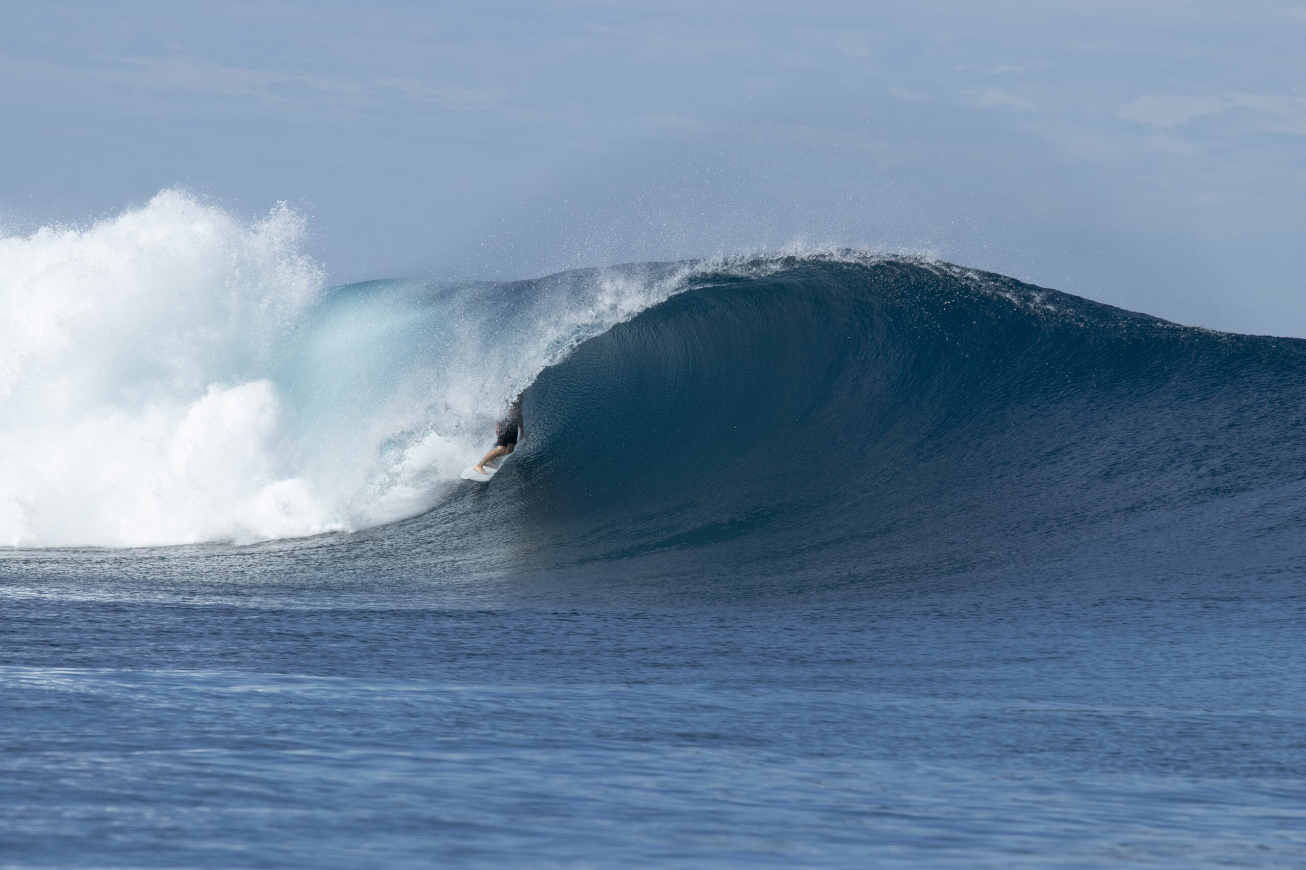
The final event of the 2025 surfing world tour will be run on a single day at Cloudbreak, in Fiji, in the coming two weeks, what waves will be on offer?
After a year of great waves across the surfing world tour, only 10 competitors remain. On the women’s side, the final five ranking goes as follows:
- Molly Picklum (Australia)
- Gabriela Bryan (Hawaii)
- Caitlin Simmers (USA)
- Carolina Marks (USA)
- Bettylou Sakura Johnson (Hawaii)
And on the men’s side:
- Yago Dora (Brazil)
- Jordy Smith (South Africa)
- Griffin Colapinto (USA)
- Jack Robinson (Australia)
- Italo Ferreira (Brazil)
The world champion on both the women’s and men’s competition will be decided through a single day of competition between August 27th and September 4th at Cloudbreak. The famed left hander reef break is located about seven kilometres from the Fijian mainland, with competitors, spectators and organizers sharing boats in the channel to watch the action.
In terms of action, the start of the waiting period looks on the slower side, with swell producing cold fronts edging away from the Tasman Sea. Between Friday, August 29th and Sunday, August 31st, a powerful cold front is expected to sweep over southeastern Australia and across the Tasman Sea. Vigorous southwesterly winds reaching 35-40 knots directed towards Fiji will likely be what the event organisers are waiting for to run the event.
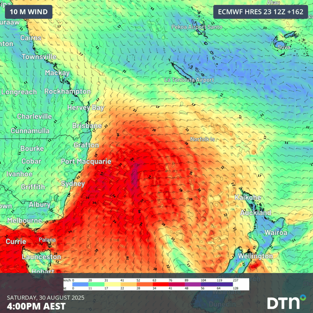
Image: Gales force winds (red shading) blowing across the Tasman Sea on Saturday, August 30, 2025.
Large seas reaching 6-7 metres approximately 1,200-1,400 nautical miles southwest of Fiji will propagate north, most likely reaching the tropical island late on Monday, September 1st. Come the start of Tuesday, September 2nd, double overhead waves should be reeling across the reef for what should be the best waves of the event window.
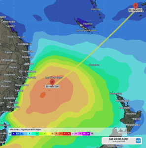
Image: Large seas across the Tasman Sea on Saturday, August 30, 2025.
In terms of wave and ocean conditions, a high pressure ridge to the south of Fiji should direct fresh east-to-southeast trade winds across the region. This is a good wind direction for Cloudbreak, as the reef bends back into the trades, making them an offshore wind for the break.
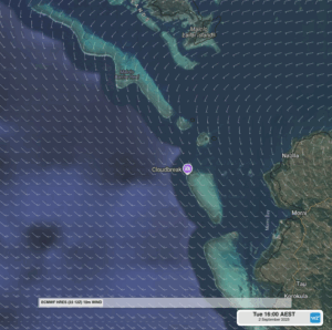
Image: Wind barbs showing fresh southeasterly winds on Tuesday afternoon, September 2, 2025, the location of Cloudbreak is shown on the outer barrier reef.
Boating conditions may become a bit bumpier into the afternoon, but nothing too worrisome for the experience ocean people of Fiji.
The two Australian’s left on either side of the women’s and men’s final, Molly Picklum and Jack Robinson, are well attuned to the solid and heavy waves that are typically produced at Cloudbreak, and with a promising forecast, a good show should be on hand.
How DTN APAC can support your live event
Wherever you are in the world, severe weather like flooding rain, thunderstorms and damaging winds can lead to costly and dangerous disruption to events, whether from the planning stage, live during the event, in the set-up, pack-up or for attendees getting to and from the event location.
DTN APAC offers unmatched live event support through:
- Direct access to professional and experienced weather Risk Communicators
- Access to unrivalled and precise meteorological data, wherever you are in the world
- A clear and easy to understand dashboard
By using DTN Risk Communicators, weather is clearly, promptly and expertly communicated to you, removing an unknown from your event coordination.
We deliver clear and comprehensive weather data, personalised risk assessments and briefings to you and your team, so that your critical decisions can be made with confidence.
We are available 365 days a year, so you always have the timely guidance you require, especially when severe conditions hit.
You have our insights to rely on to see you through complex situations, minimising potential loss of profit and maximising the safety of your staff and assets.
Learn more about our large range of industry leading products and services or email us at sales.apac@dtn.com
Thumbnail image source: iStock / LucidSurf




