A burst of blustery wind, rain and thunderstorms will hit southwestern Australia this weekend, bringing a wintry change to Perth on one of the last weekends of the season.
Despite a few showers in southwestern Australia today, Perth will be dry for most of Thursday and at least the first half of Friday. This drier weather won’t last too long though, with rain and storms set to return by the weekend.
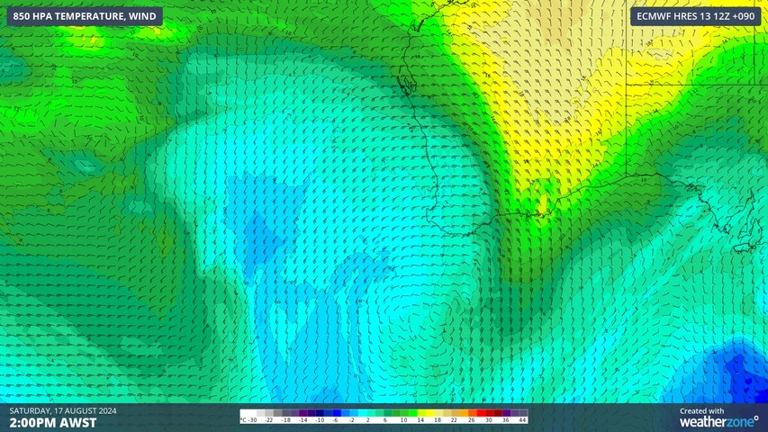
A cold front and associated low pressure system passing over the southern Indian Ocean will bring rain, thunderstorms and strong winds to western and southwestern districts of between Friday and Sunday.
A large band of and thunderstorms will initially affect the state’s west and southwest on Friday afternoon and night, before spreading further east across the state’s South West Land Division on Saturday with the passage of the front.
While the cold front will weaken from Sunday, a low pressure system passing to the south of the state will maintain cool and showery southwesterly winds across southwestern parts of the state into Sunday morning.
Perth is likely to see periods of wet weather from late Friday through to Sunday morning, with some forecast models predicting more than 50mm of rain in the city during this period.
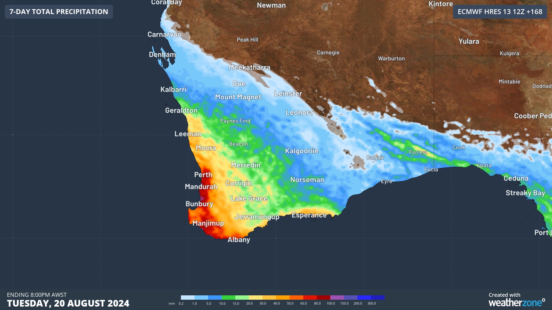
Image: Forecast rain during the next 7 days from the ECMWF-HRES model. Most of this rain will fall between this Friday and Sunday.
In addition to the rain, some western and southwestern districts of WA, including Perth, could see dangerous thunderstorms from late Friday into Saturday. Damaging winds and heavy rain are possible with any severe thunderstorms that develop, so be sure to check the latest storm warnings in your area throughout the weekend.
This weekend’s cool and wet weather should see Perth only reach maximums in the mid-to-high teens, around 2 to 3°C below average for this time of year.
Drier weather should return on Monday before another cold front arrives over southwestern Australia in the middle of next week.
Weatherzone Business has grown to become the outright leader within the Australian energy market, serving wind, solar, hydro, trading, utilities and network companies.
You can’t control the weather, but you can gain precision insights to optimise your response. What lights us up is providing your energy business with tailored weather information to reduce your risk and keep you moving ahead of the curve.
Our services cover all aspects – from wind and solar generation to demand forecasts, wholesale markets to retail so, no matter where your company sits, we have solutions for you. We have worked closely with market participants to create products that meet the evolving needs of the sector, aiming to increase safety and profitability for our customers.
Benefit from the timely delivery of accurate weather information, allowing informed and effective decision-making. To find out more visit our contact page or email us at apac.sales@dtn.com.


